Looking for a moderate-strenuous hike in Black Mountain/Montreat area?
Today I woke up with a vision: The 7 Sisters hike. I live 2 miles from Montreat. But chickened out when I truly thought of how long this would take and I’m not confident my kids are up to it yet. We’ll save this for another day. However, why not conquer 2 of the sisters???

So we settled on a new loop (we’ve done one part of this loop before only). Here’s a map of the area as well.
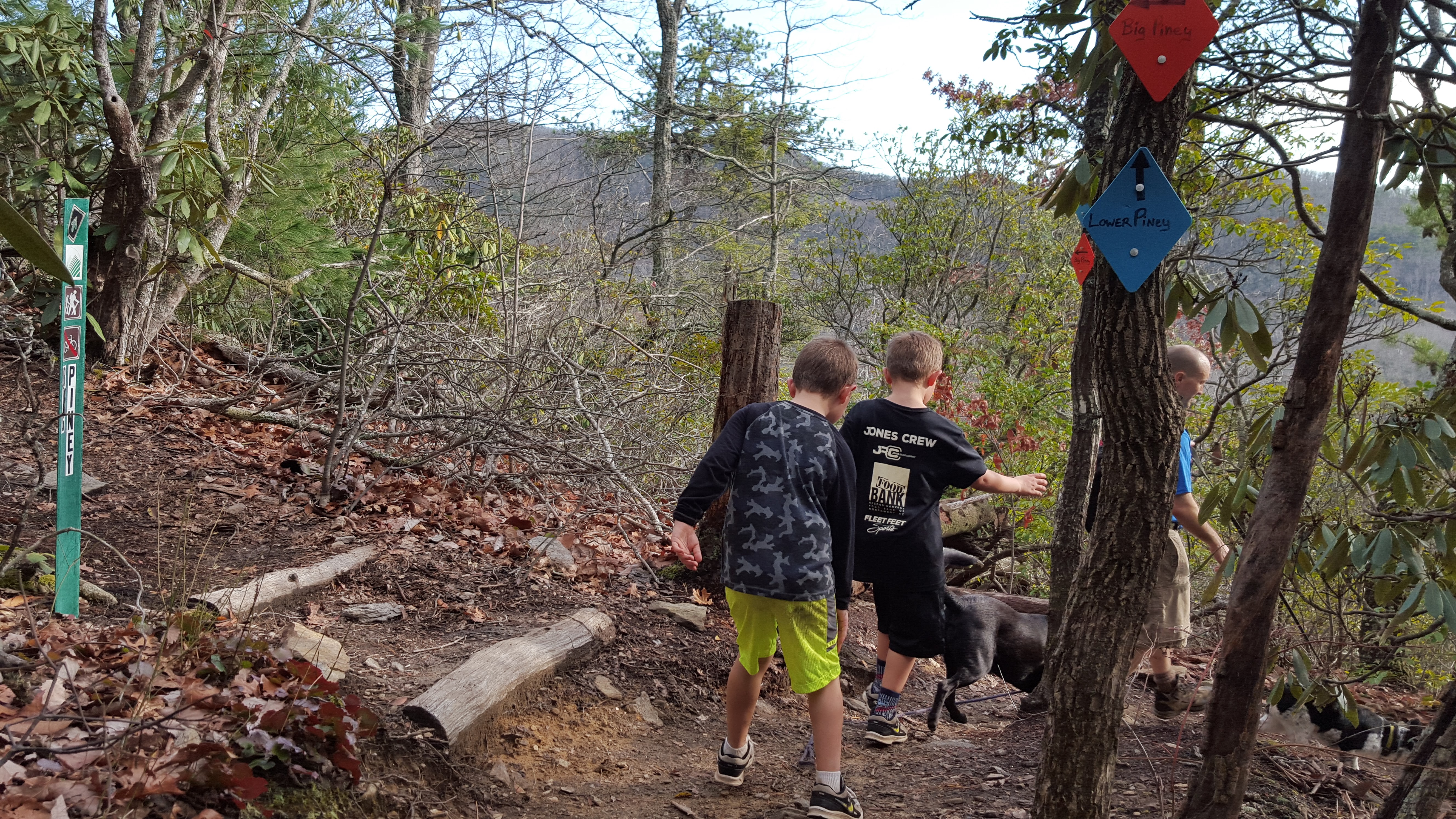
We looped Big Piney Trail up to Big Piney Summit, Little Piney Summit, down Stomping Knob, and thru Harmony Drive reached Little Piney Trail back to our car.
Distance: 4.5 miles
Time: 3hours 10 minutes hiking (few stops)
Grade: 70% Steep and Strenuous with 30% moderate.
Elevation Change: 1377ft by mapmyrun (lowest 2765ft, highest 4065ft)
Start/Stop location: Big Piney Trailhead at the end of Suwannee Drive
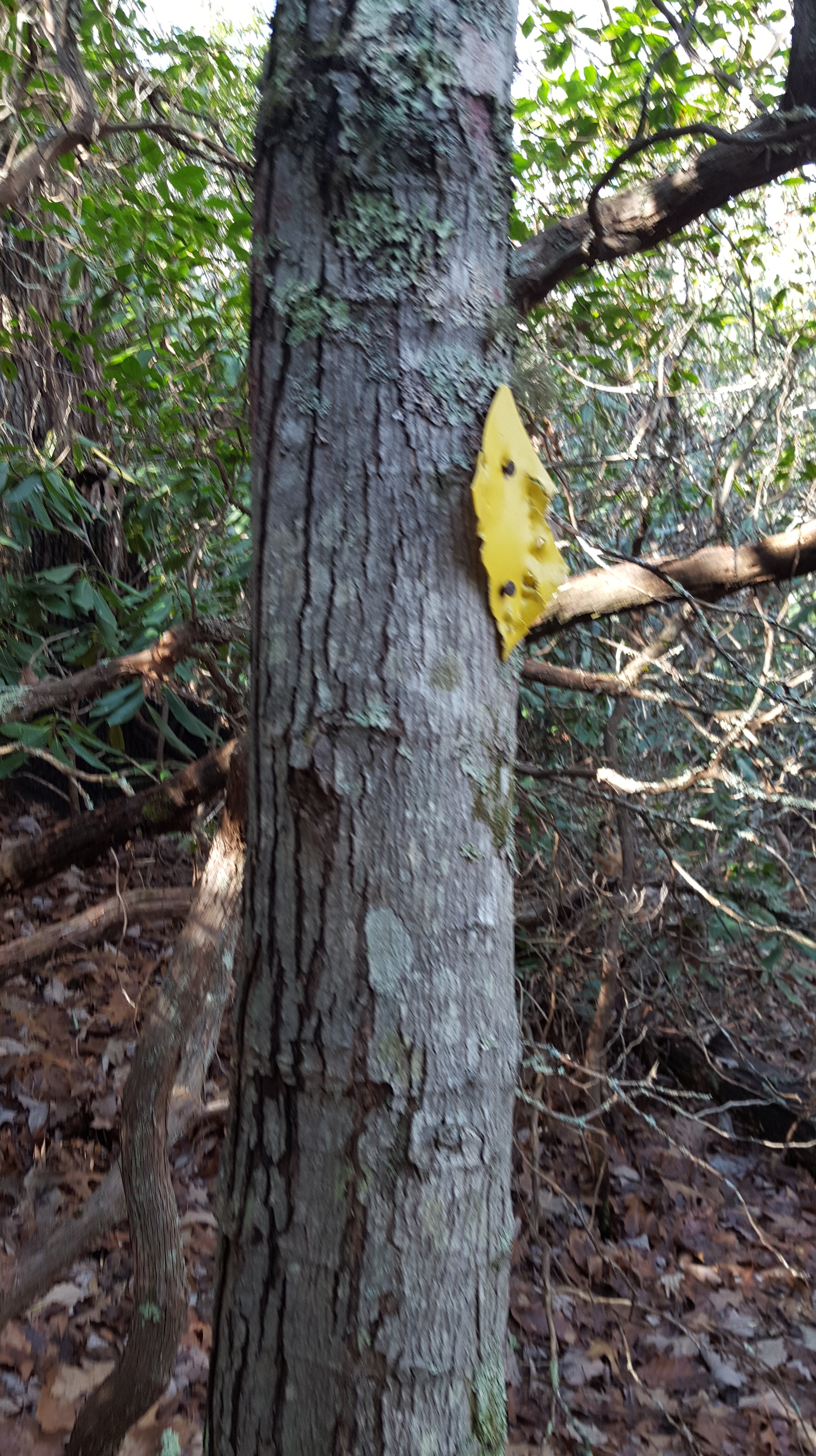
Blaze marks: Orange for Big Piney, Grey for West Ridge, Yellow for Stomping Knob, Blue for Little Piney
Additional site that discusses these hikes and hiking the 7 Sisters.
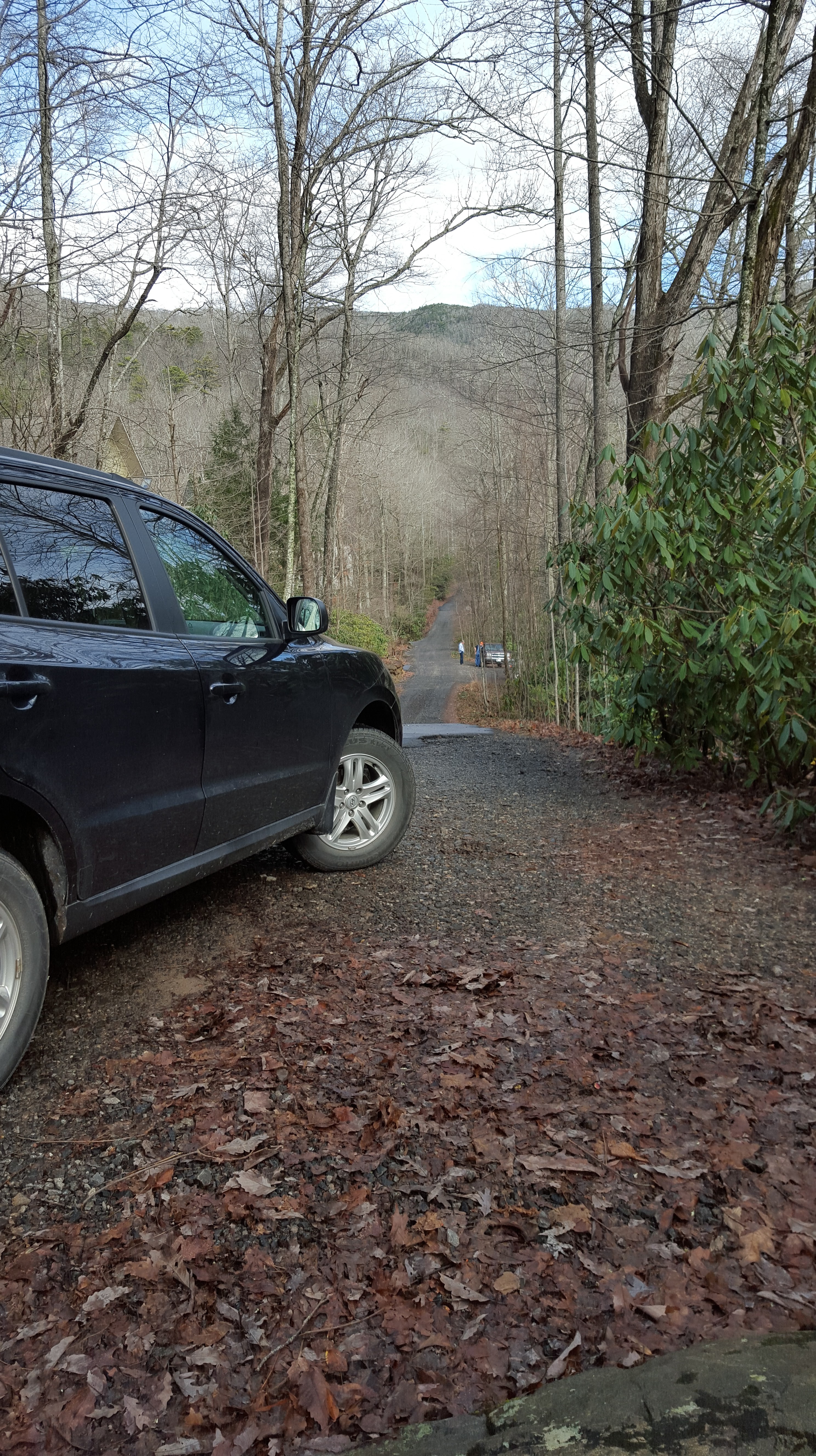
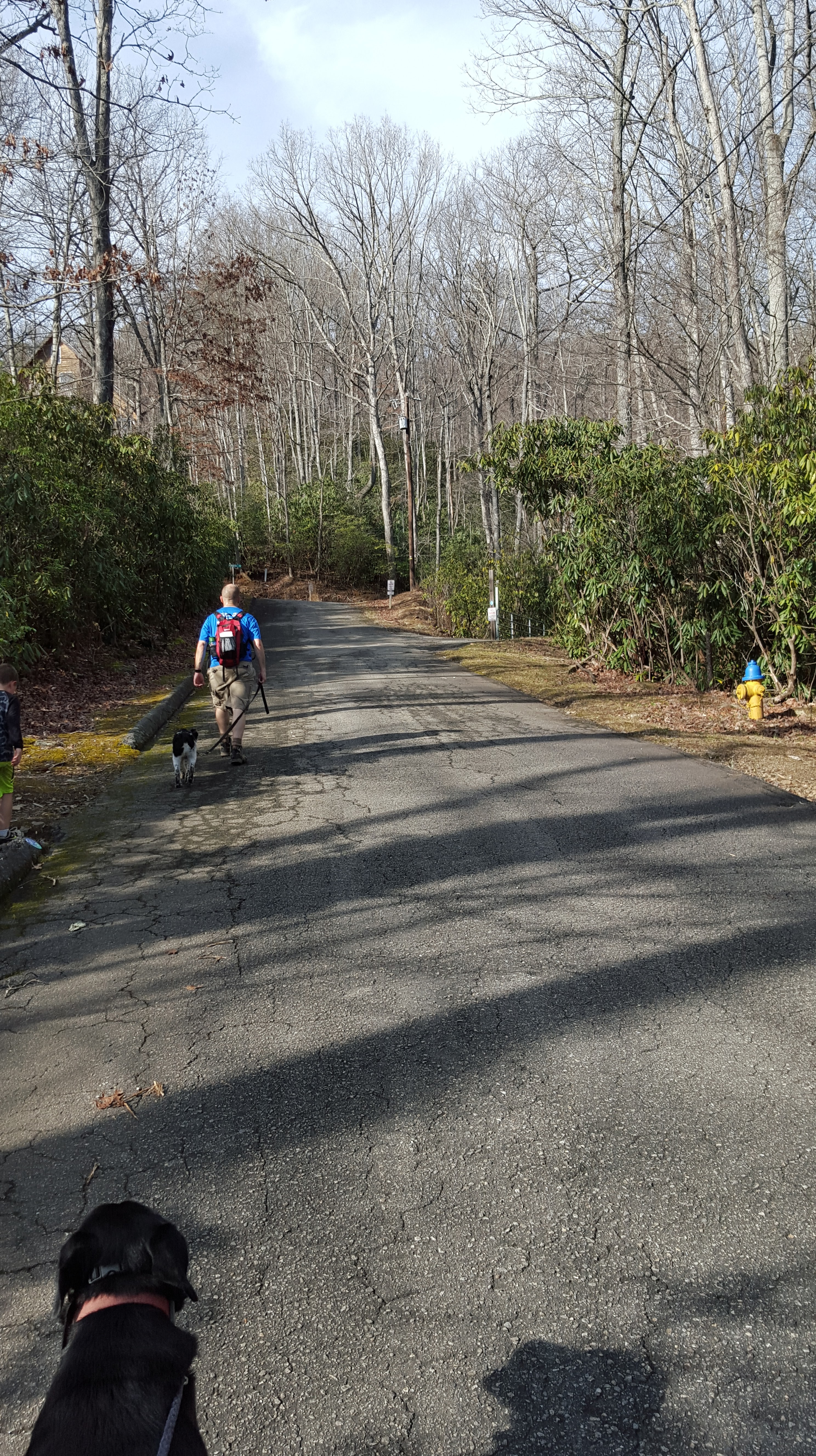
Start Location: Drive into Montreat along Montreat Road as if you were heading to Greybeard trails. After passing the campground on the right, continue a few drives up until you reach Suwannee Drive on the left. Drive until the end of the road (there’s a residence on your right), there’s a tiny parking area… and a blaze mark. Park here. You’ll be starting at the conjoined Big and Little Piney trails.
Start by following Orange blaze marks.
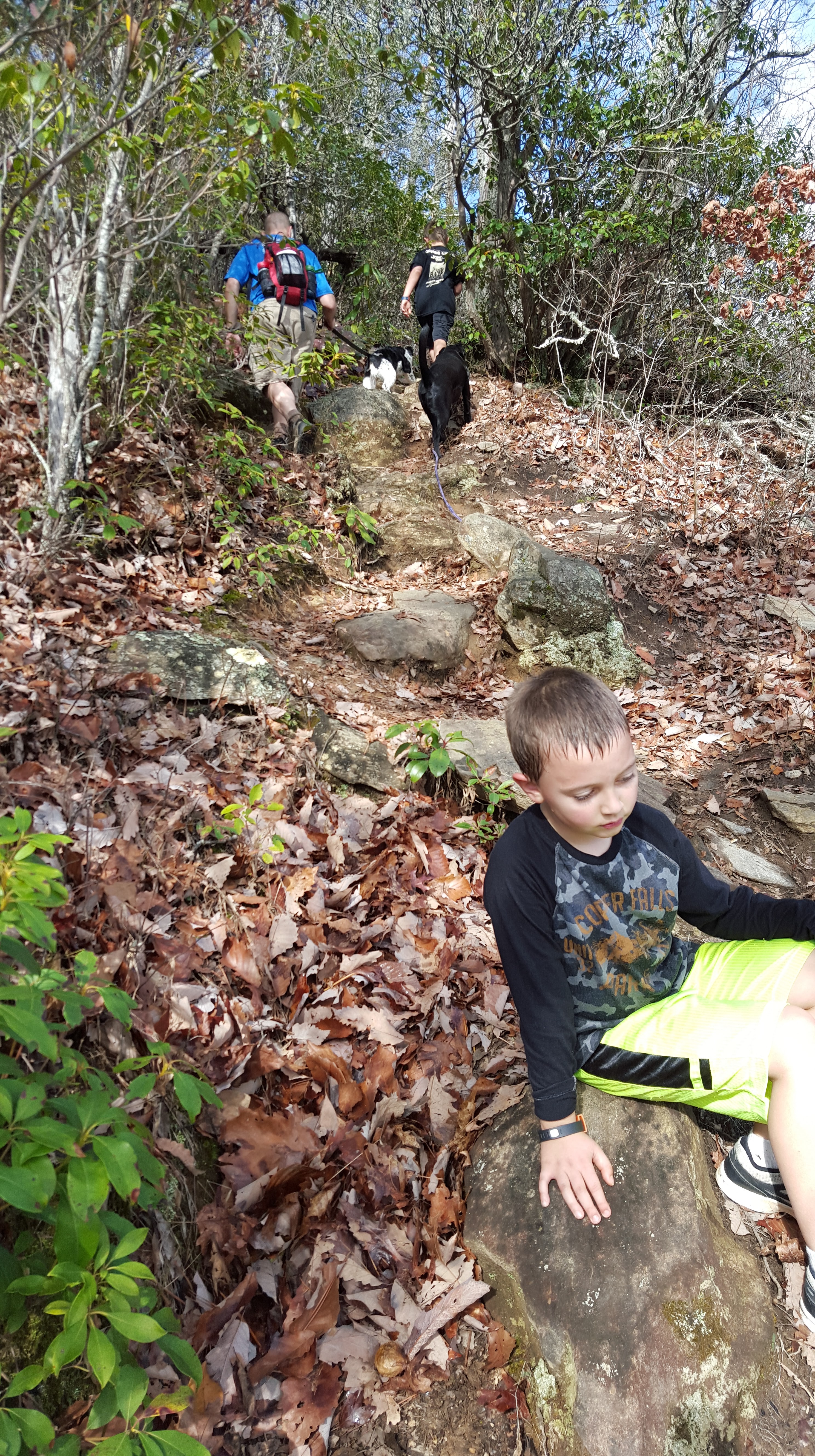
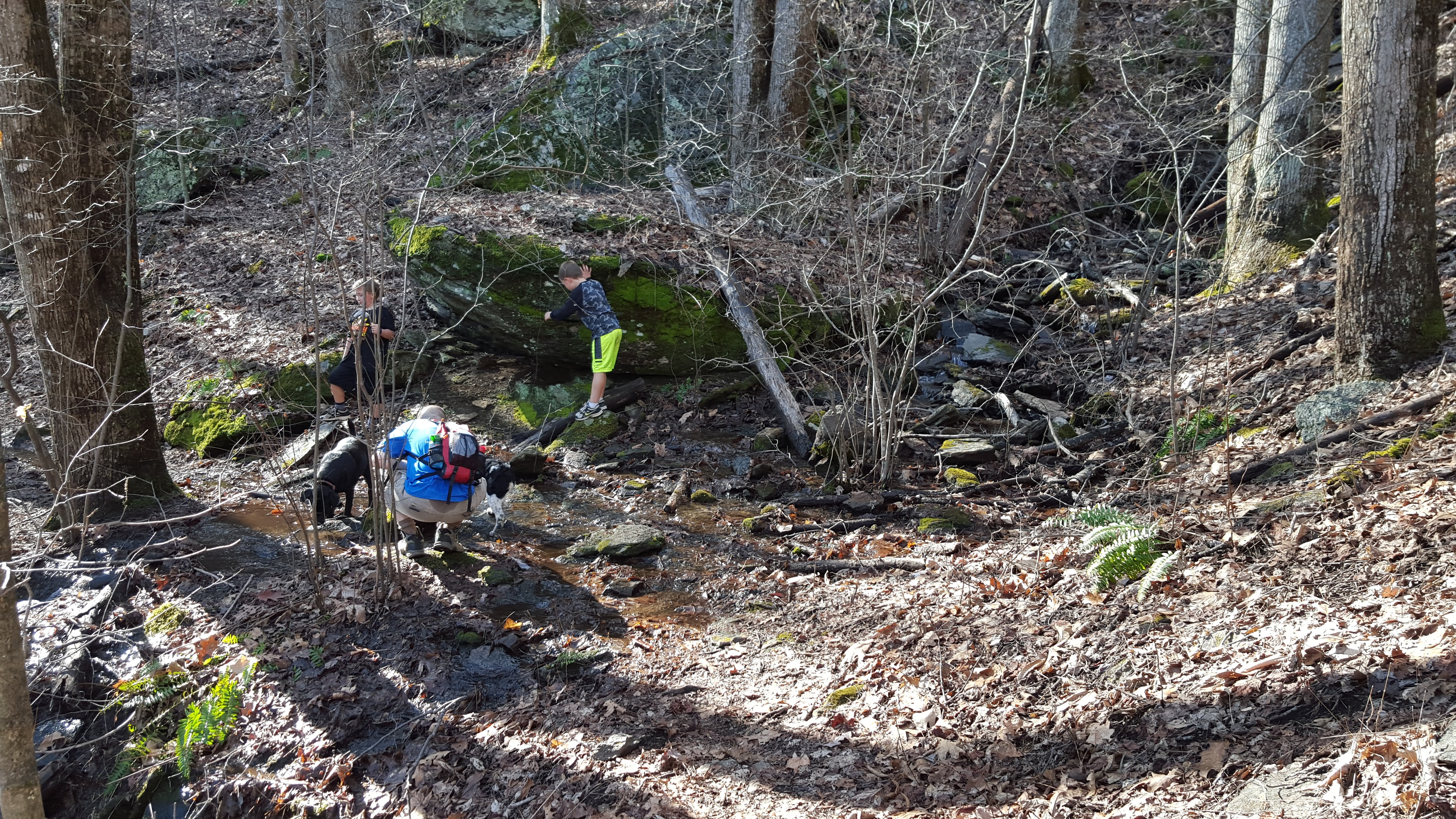
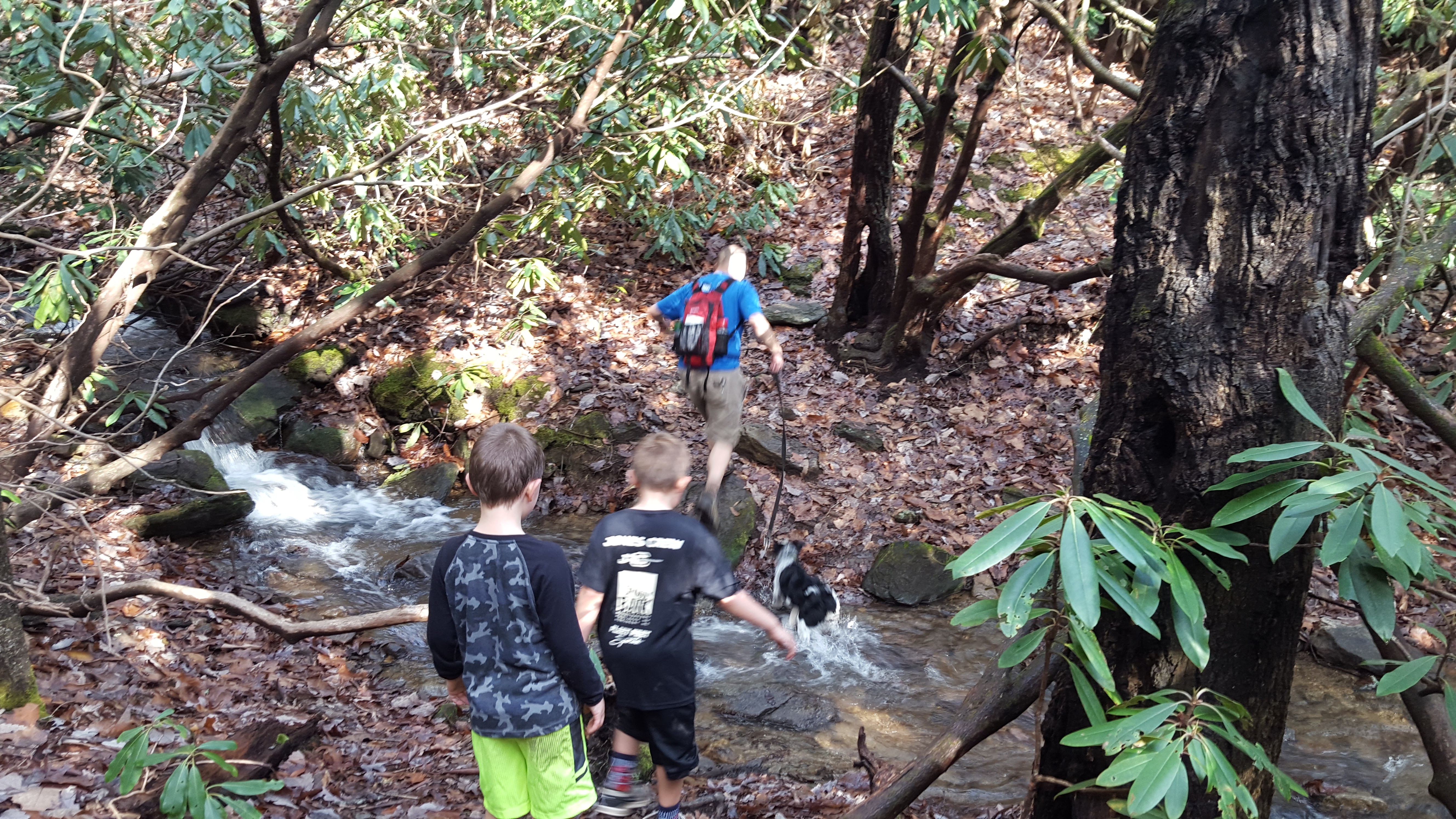
The trail starts as a mild uphill, crossing tiny creeks along the way. Its actually beautiful and in December, it was green! Of course this was an odd year and the temps were clear and sunny in the 60’s.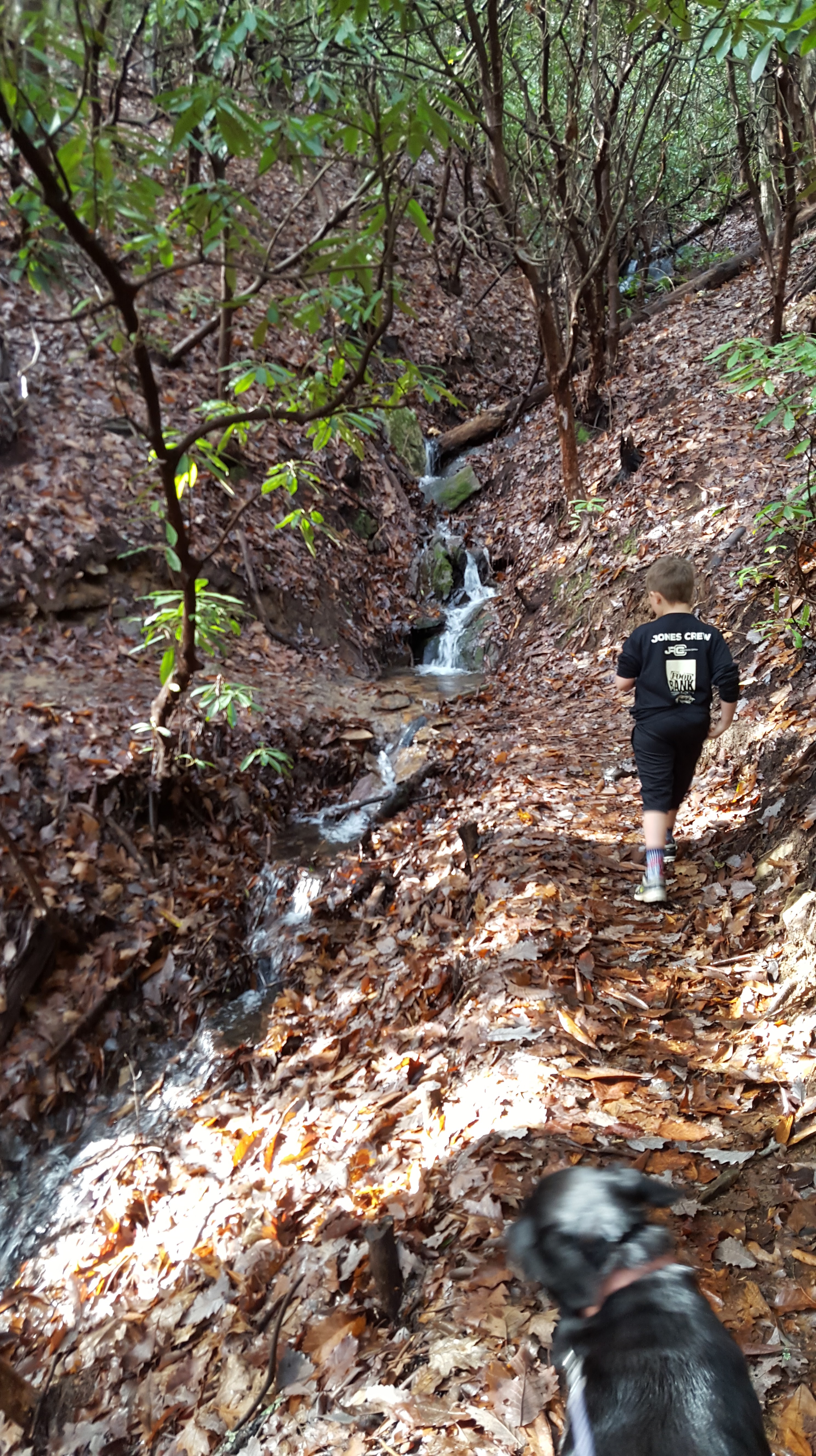
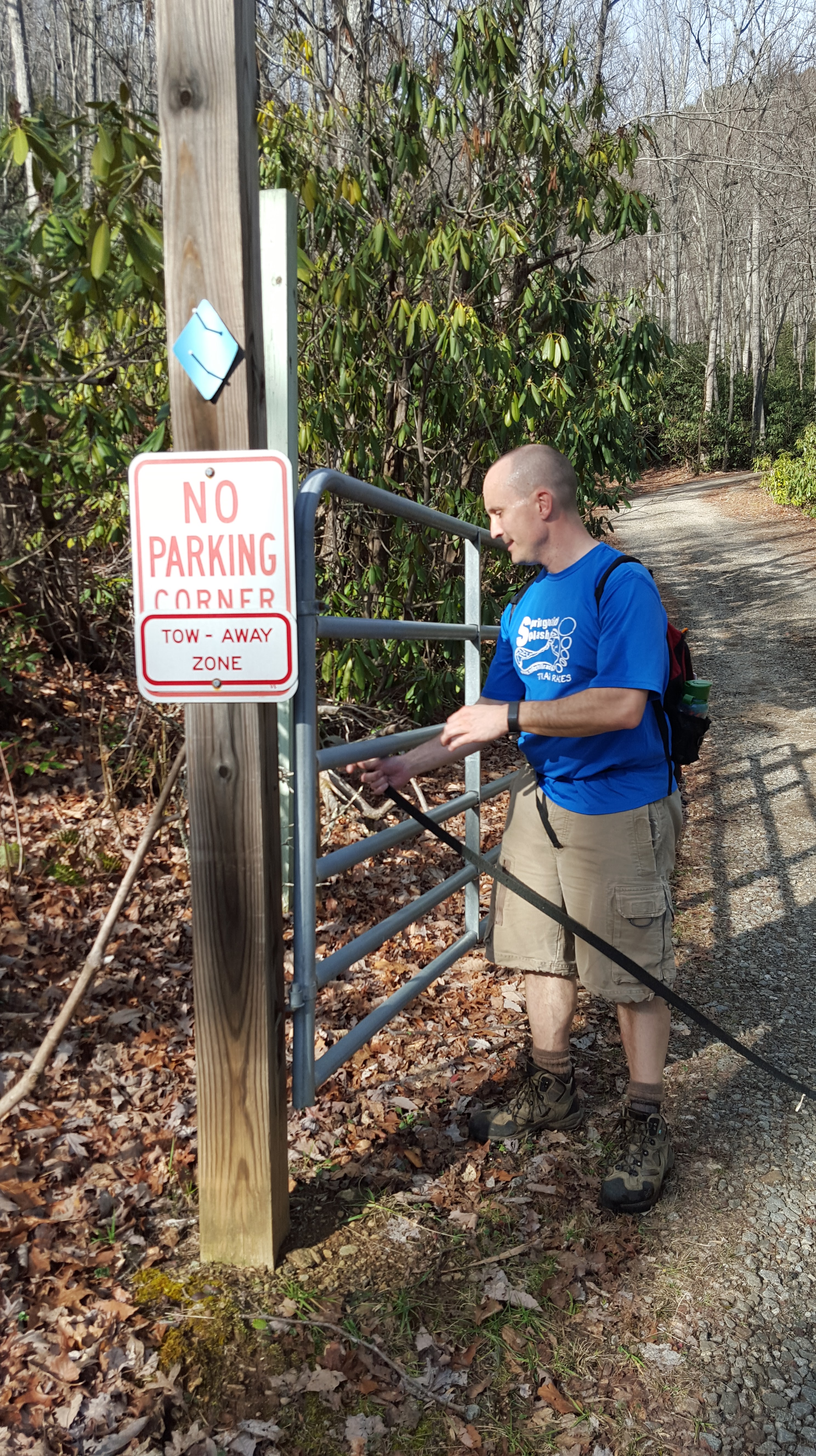
After half a mile, you reach the split. Little Piney goes straight (you’ll be coming back to your car from this one), Big Piney turns right. Continue following the Orange Blaze marks to the right.

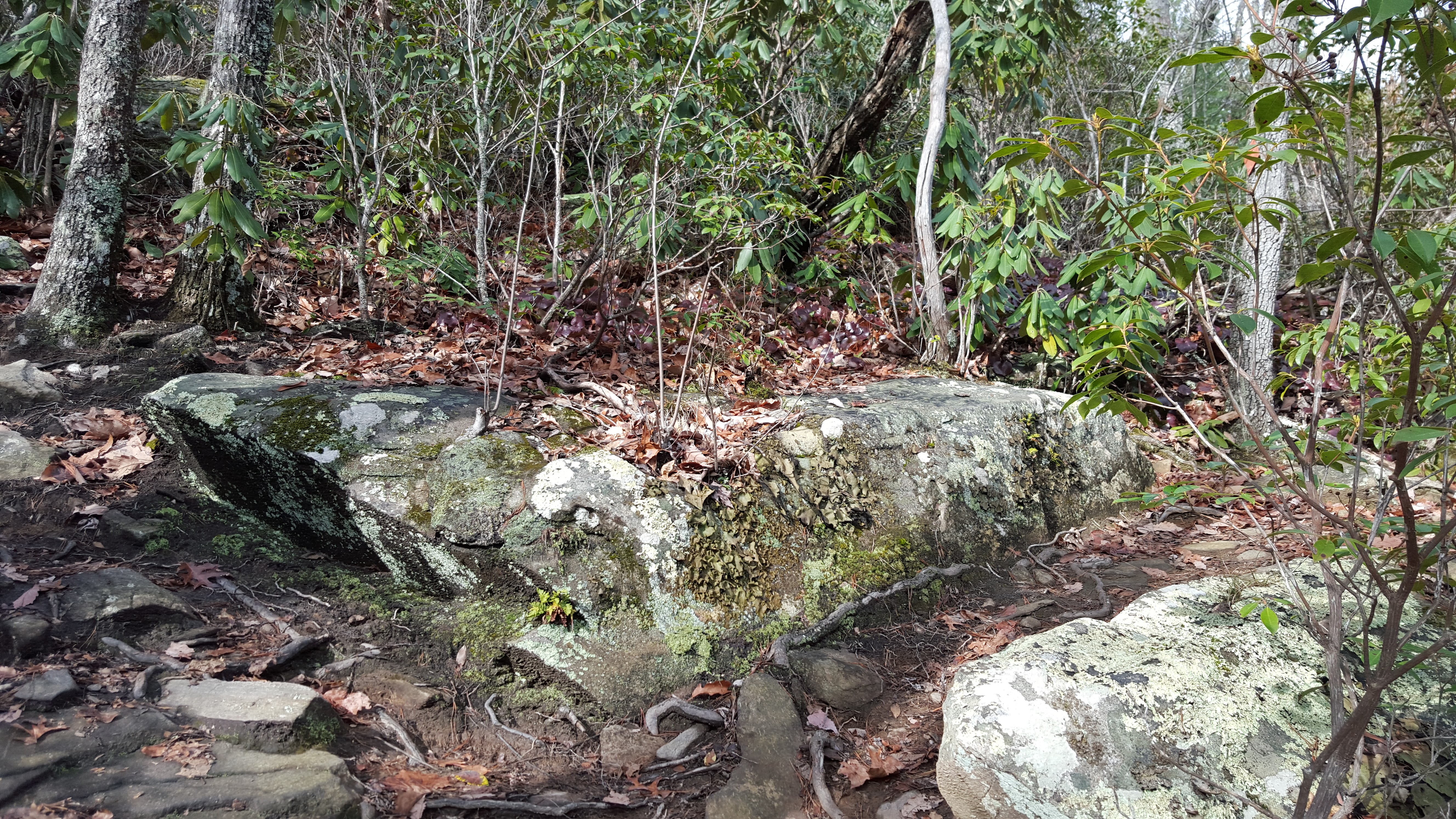
The trail starts to get steeper and have more switchbacks. You’ll find some rocks off to the end of several switchbacks for rests, stops, and views. The smell of the Galax will fill your nose as well.
There is one rock you come to that you don’t immediately see a blaze mark and the trail looks like it could go left or right, go left here. You’ll see the blaze mark a little after you continue on.
At around the 1 mile mark you’ll feel like you’ve reached the top, but you haven’t. It levels out at that point and it decreases steepness for about .3-.4 miles.
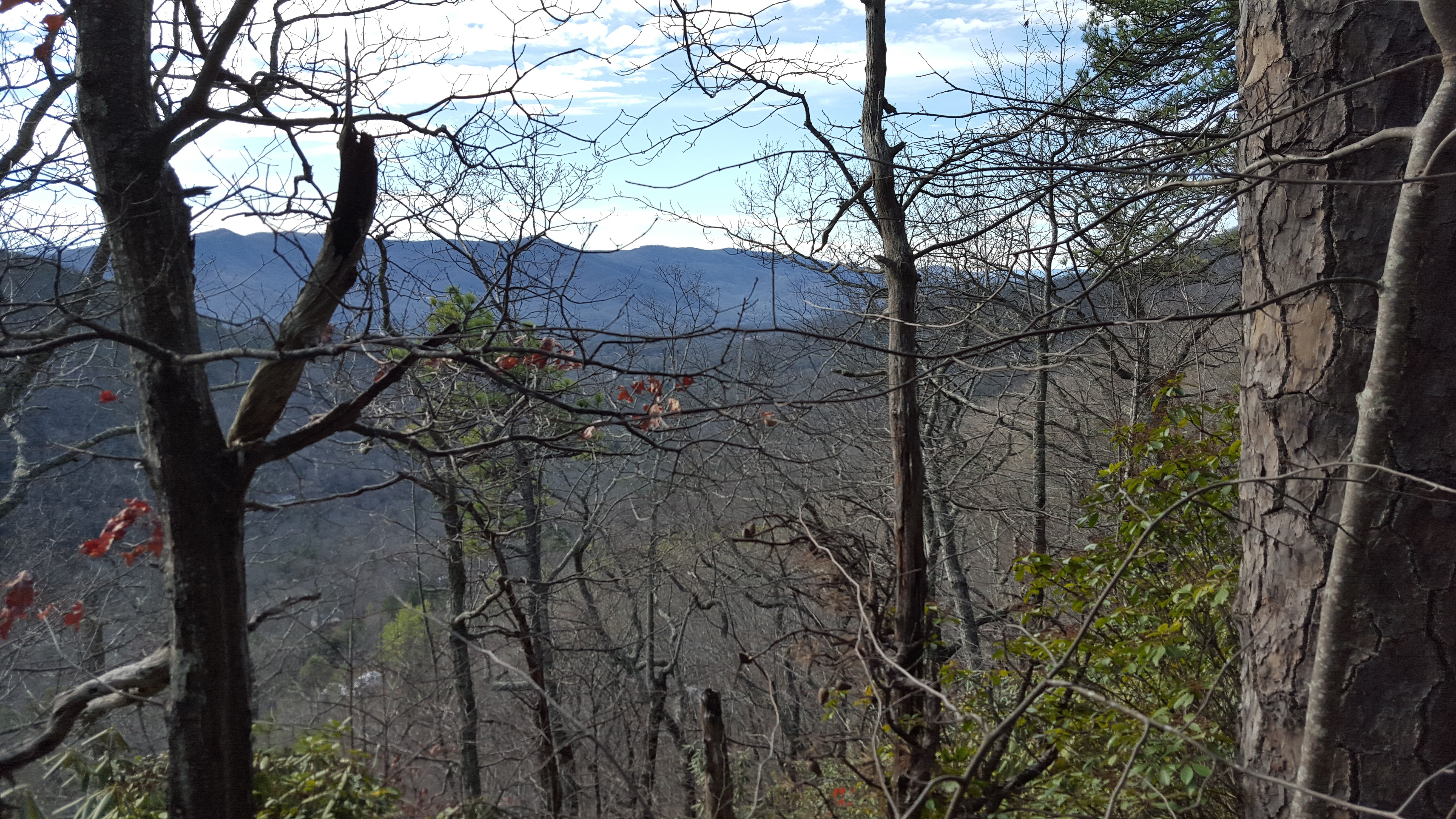
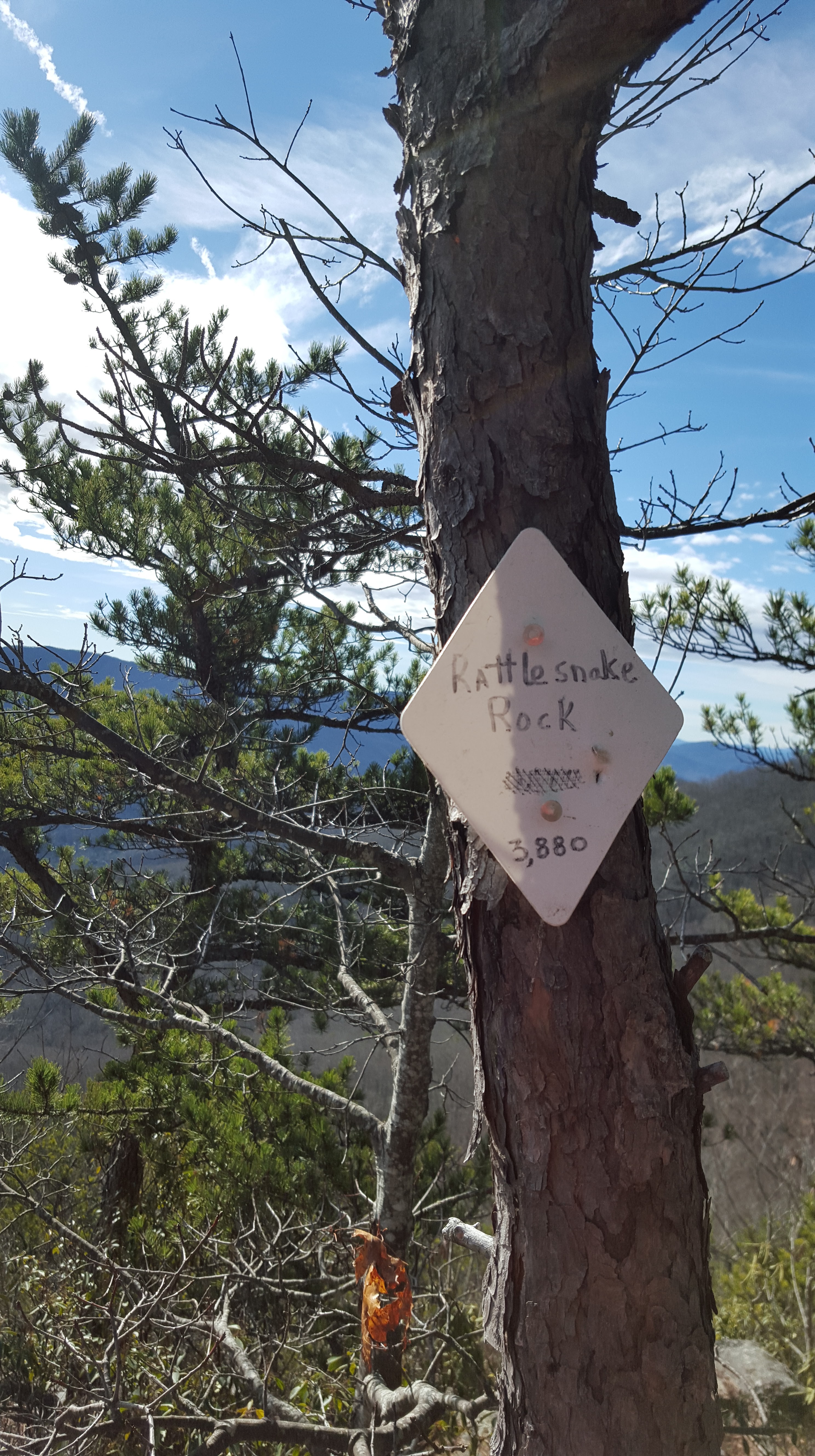
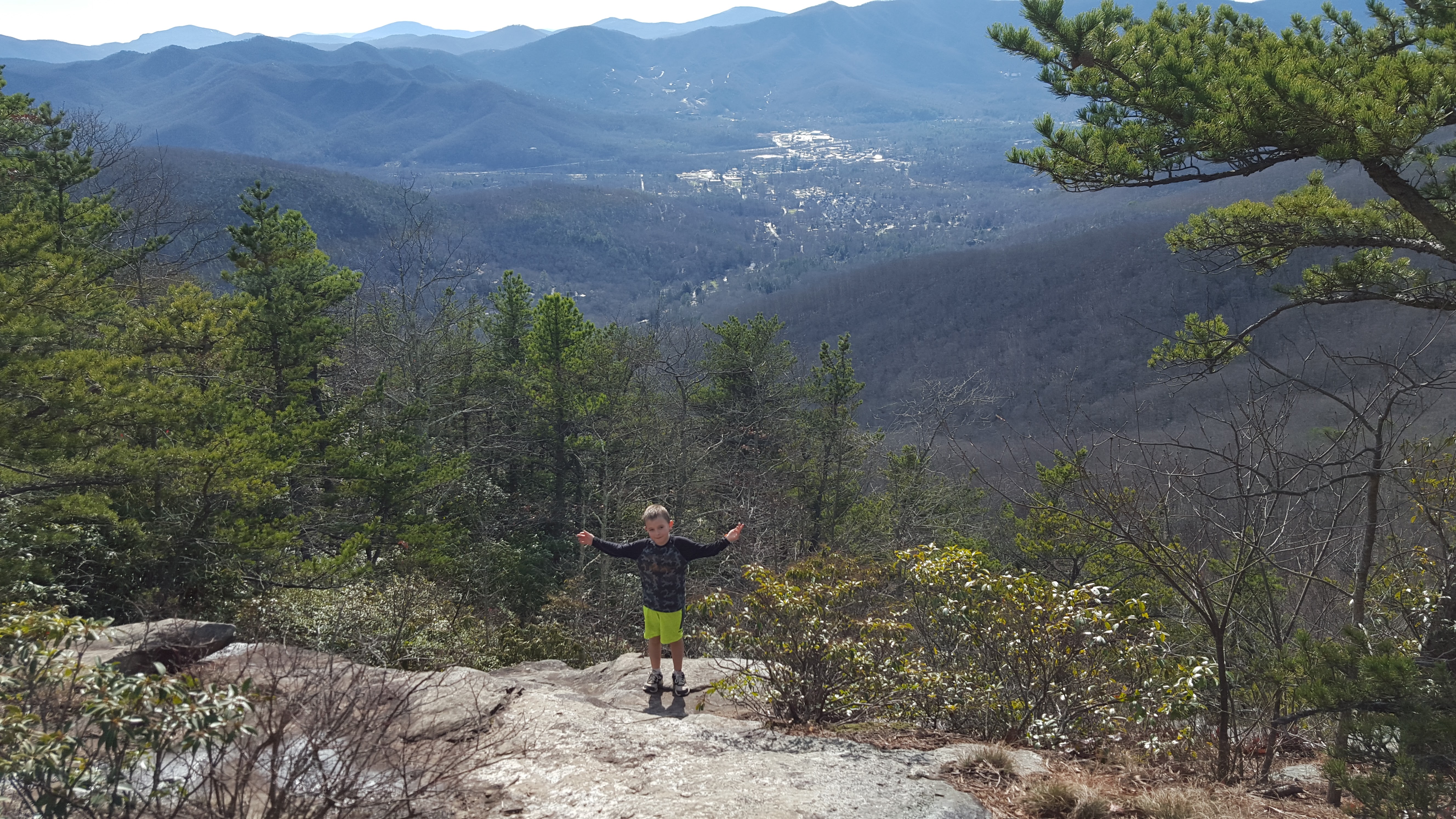
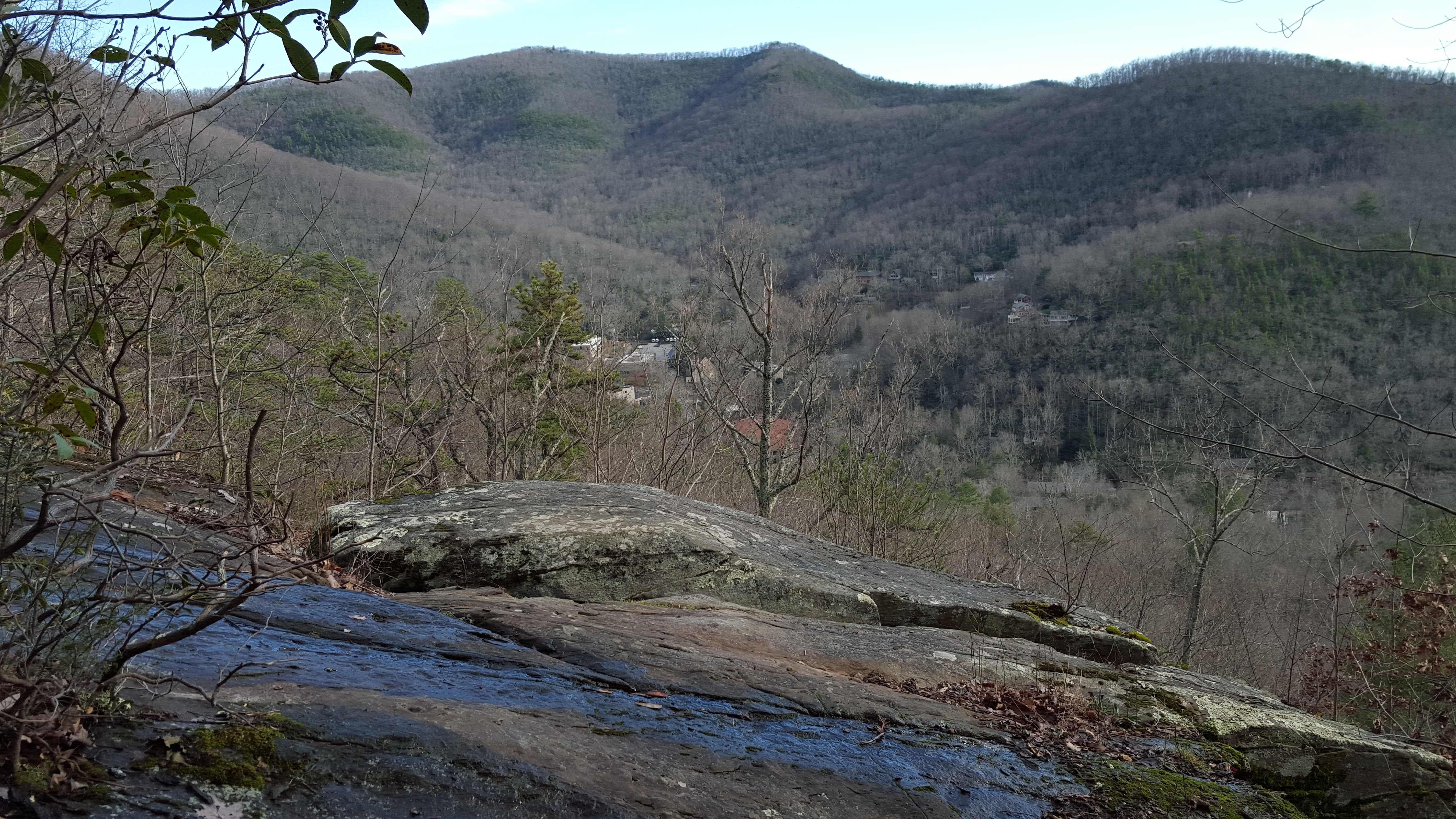
At around 1.2m you’ll reach Rattlesnake Rock. This is a beautiful view and awesome stopping point for a break or lunch in our case. You can see most of the town of Black Mountain from this view. We intentionally found Lake Tomahawk, Montreat Road Ingles Warehouse, Ingles, and BiLo. The Golf Course was hidden by trees that surround it. Looking to the right, you can see the summit of Big Piney (Brushy knob) within reach.
Continuing on up the trail now you’ll start to make the ascent that is fairly steep to the summit.
The summit was reached at 1.54miles on my MapMyRun app. Hiking (not counting our lunch stop) took 1hr 12min to reach. Elevation 4194ft.

If we had continued around to the right, passing the summit sign, we would have continued on the trail along West Ridge to Greybeard.
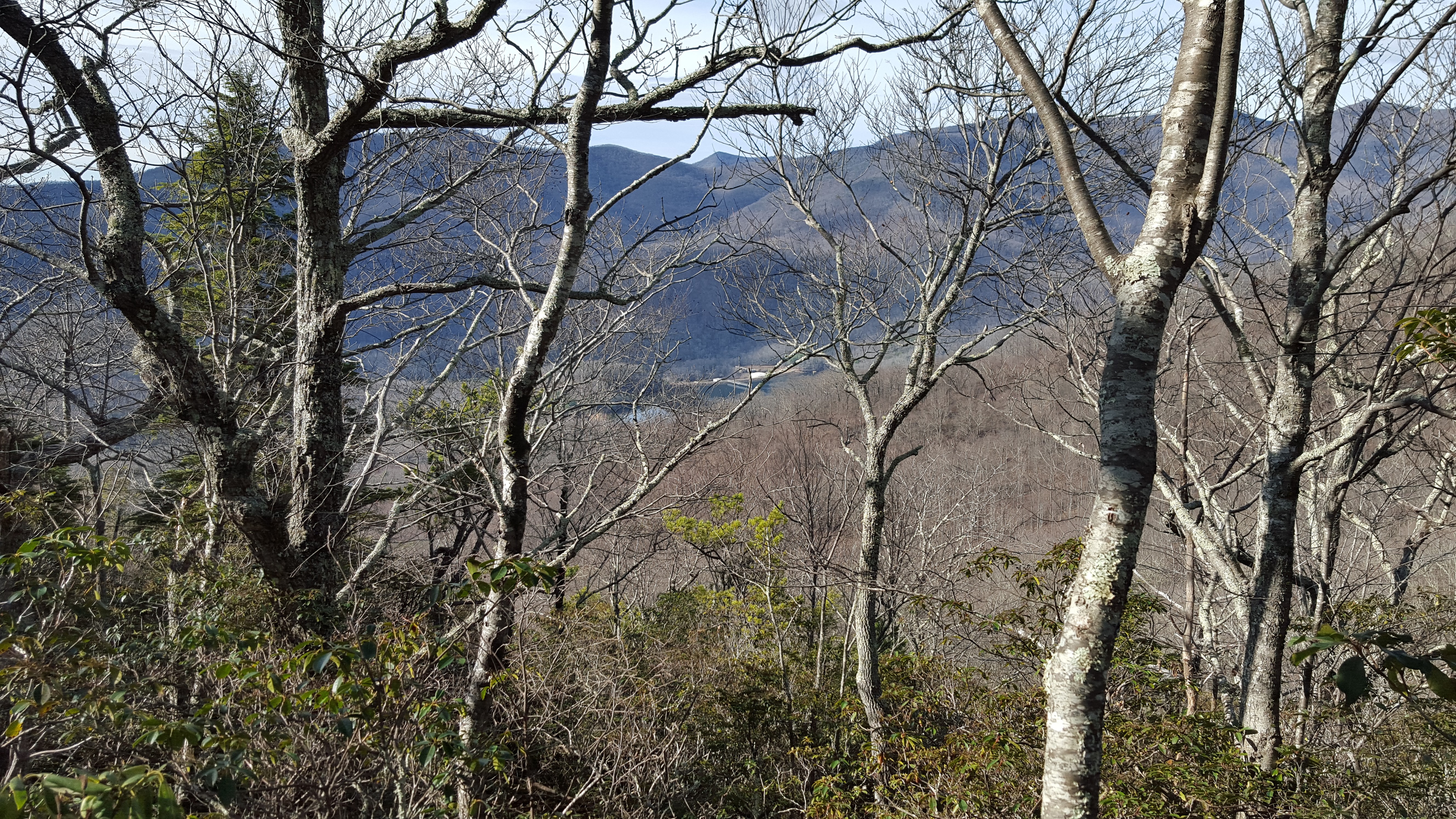
However, we followed the Grey blazes to Little Piney, continuing straight. We had downhill and rough rocky trail for a while (I actually took a fall on a rock that was slick and busted my butt). You could look off to the right and see the Asheville WaterShed as we walked the ridge. The trail switched from descent to ascent immediately as we got close to Little Piney. Luckily, the incline was not as steep as Big Piney, and was much shorter.
The trip between peaks was half mile and reached the Little Piney (Stomping knob) summit at 2:12 miles, taking 1hr 37 minutes to reach total. No sign was at the summit though. And the blaze marks weren’t present through this area. However there were no other trails we could have been on.
As we crested the peak and started our descent immediately, and quickly it became steep. Although the Yellow blaze marks for Stomping knob did not start immediately, we knew we were on the trail as it is a very steep trail.
We passed the big rocks on the right, be careful with your steps as this tends to be steep. we have to use trees, roots, etc around us to keep our balance from falling as we head down this trail. It is strenuous. It is just shy of 1 mile long. It evens out towards the bottom and you will cross some small creeks before you get to the trailhead.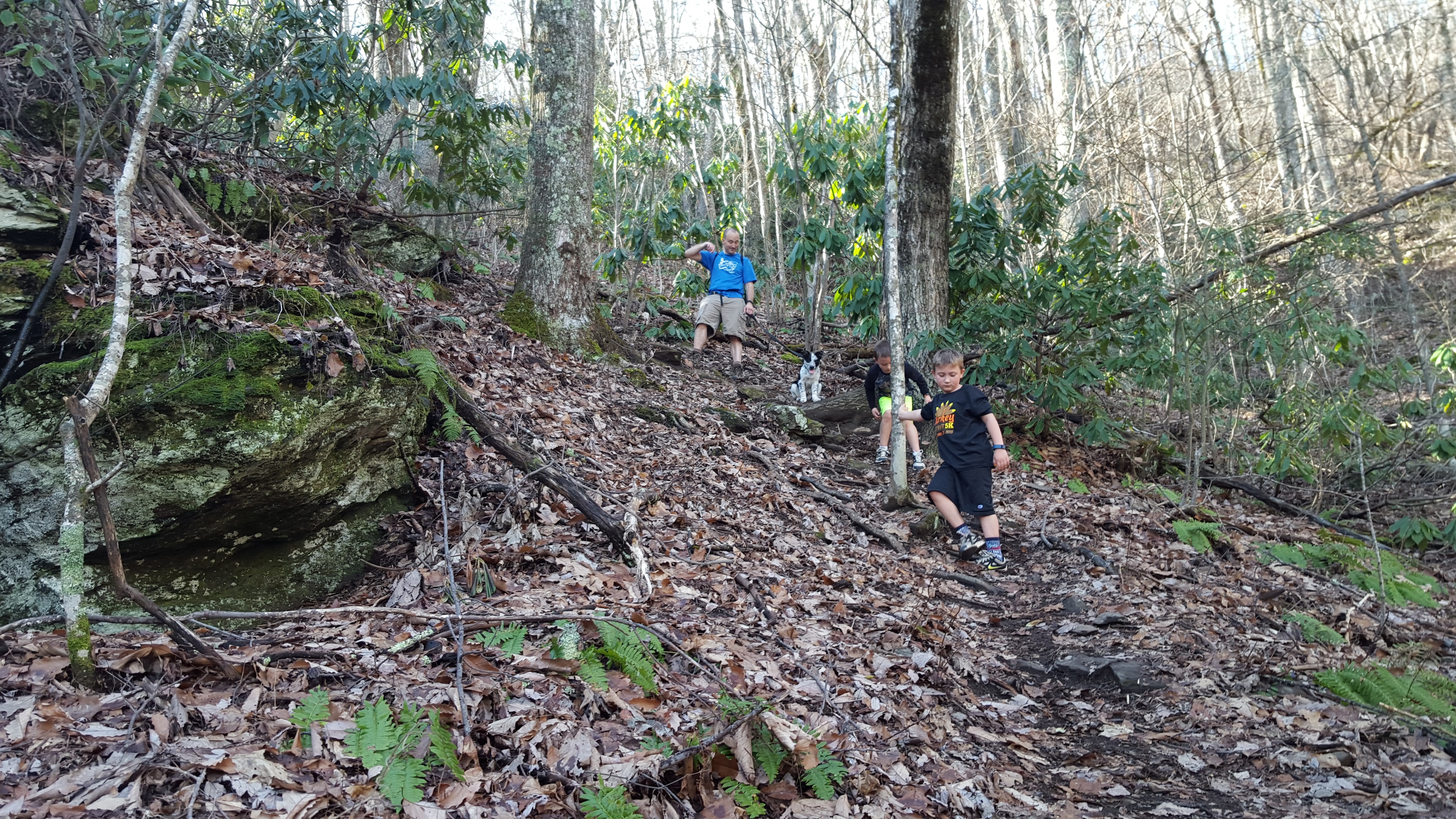
 Immediately coming out of Stomping Knob, you will be on harmony drive. Take a left and follow the road up about 1/4 mile until you see the Blue blaze for Little Piney on a gate on the right. At the start of Little Piney, we were at 3.33 miles. It had taken 2hours 33minutes up to this point.
Little Piney is just over a mile long. There is a slight incline with switchbacks for approximately .6 of a mile. You’ll see Montreat College off to the right as you’re scaling the mountain with this trail.
You finally rejoin the Big Piney trail as the trail starts back down hill and you continue the final .5 miles.
Our final distance was 4.54 miles at 3 hours 10 minutes to complete.

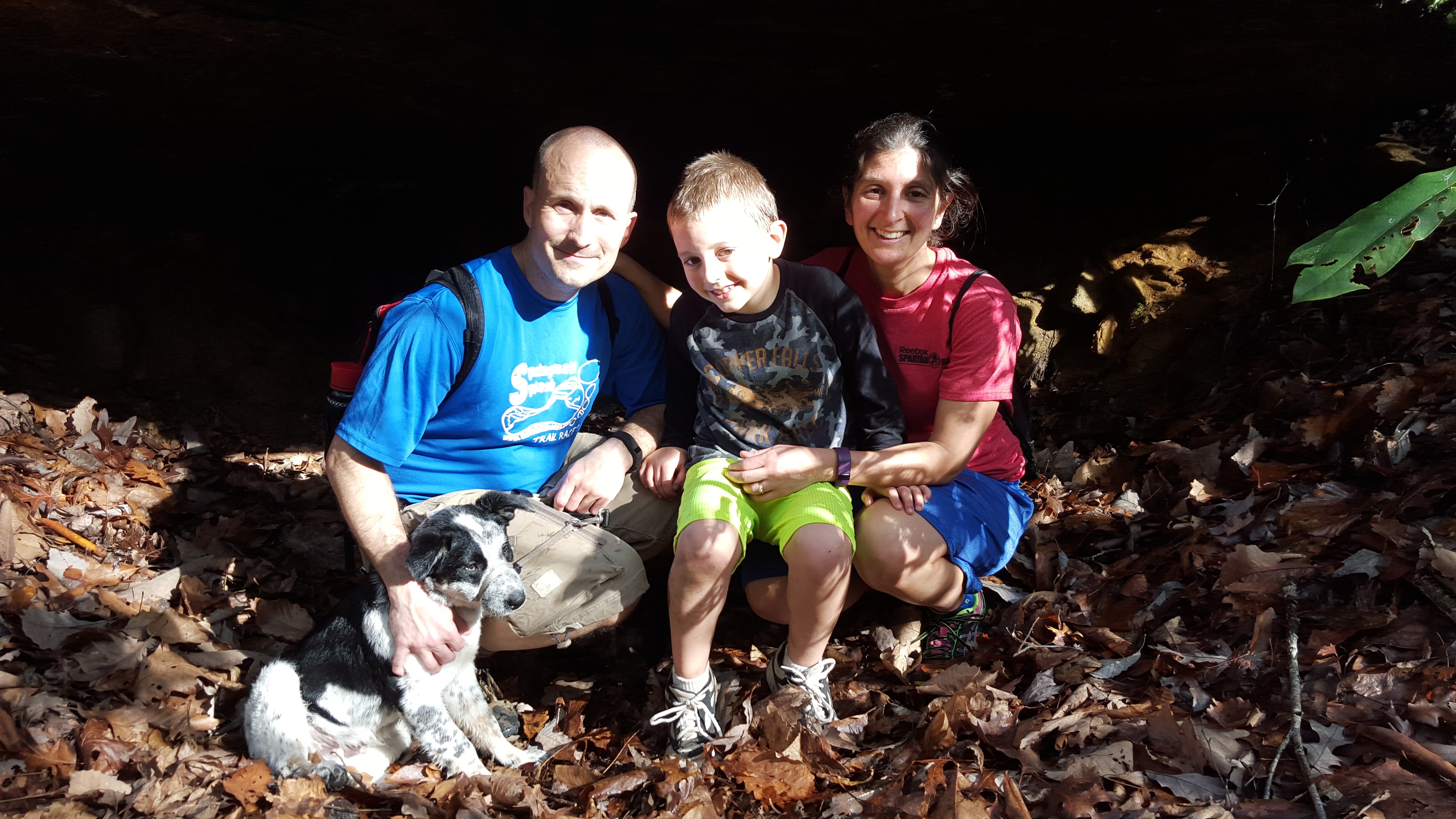
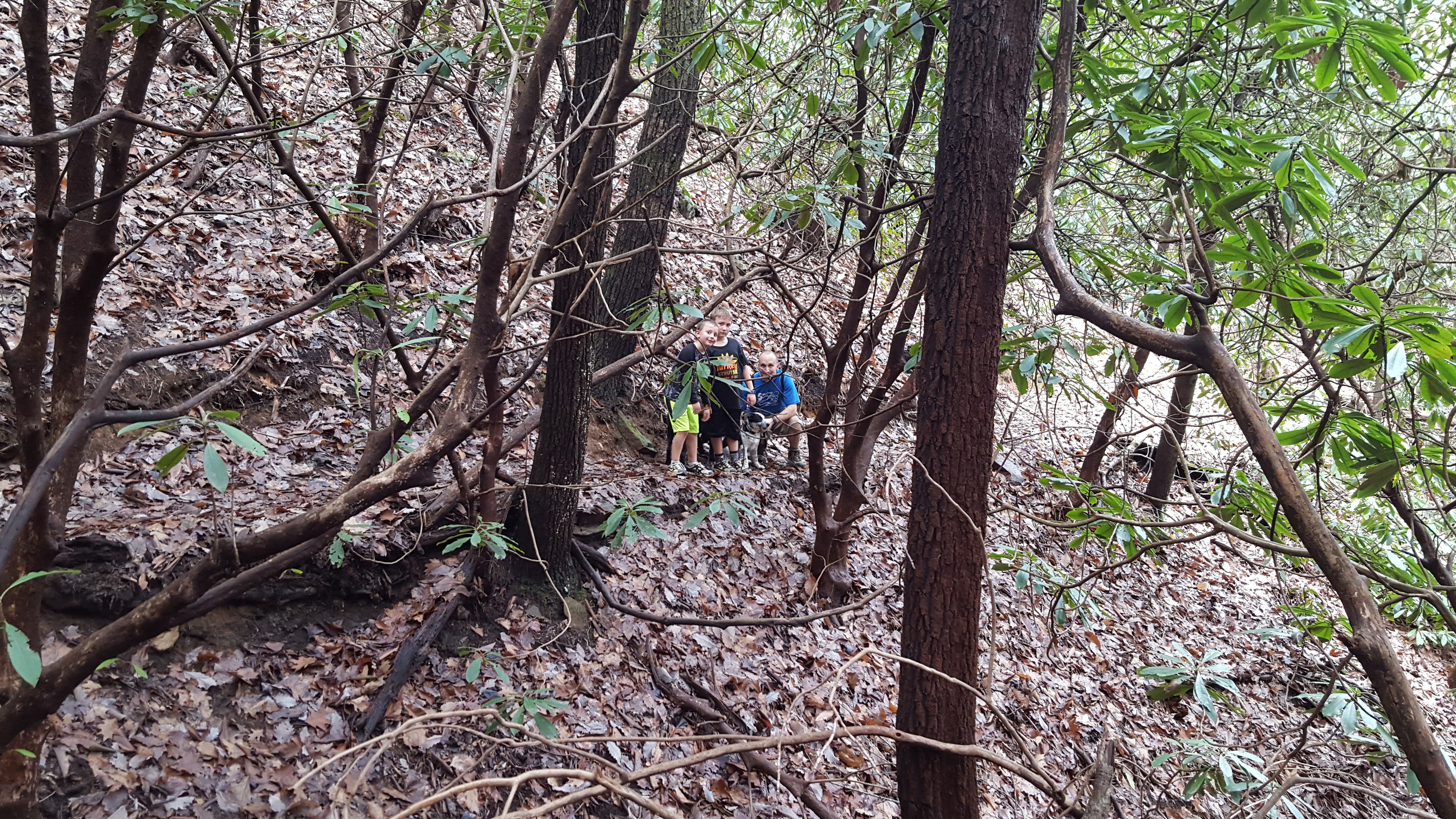
This was a doable trail with our 7 and 9 year old, but definitely make sure your kids are good hikers before choosing this for them. We did get complaints and whines on our ascents, but overall they did good.
We also had our 3 year old lab and 4 month old Blue Heeler puppy with us.
I would love to hear if anyone else does this and how they liked it!
