I never knew of the Point Lookout Greenway until recently. I’ve definitely known that one could follow a road down Old Fort Mountain that was curvy and got you from point A to point B, but never understood the dynamics.
Last year I ran the Downhill at Dawn half marathon that runs Mills Creek Road down Old Fort Mountain for a solid 13 mile run starting in Ridgecrest to Old Fort. It’s a mostly downhill run that starts in Ridgecrest and loops for a 4 mile loop locally before heading down the mountain and ending at the Old Fort First Baptist Church.
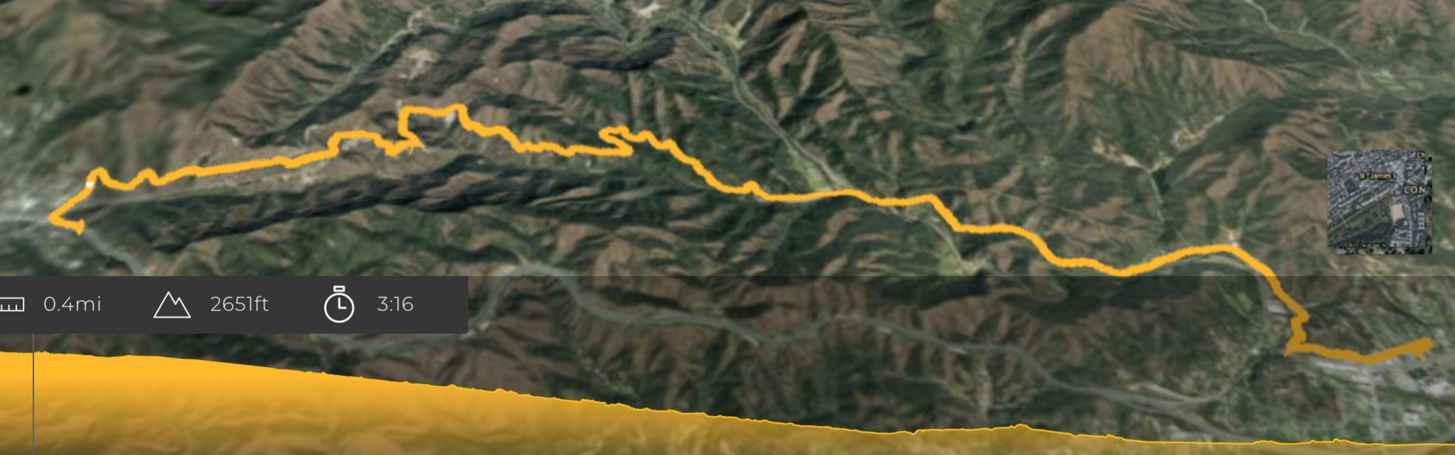
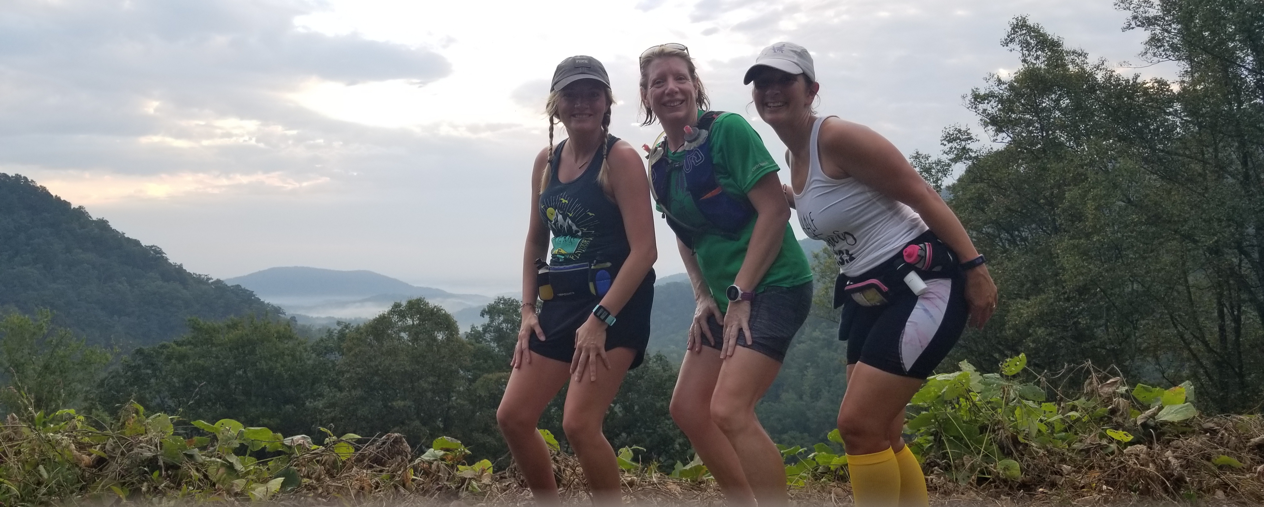
But this year my friend Leah kept talking about Point Lookout. Not to be confused with Montreat’s Lookout trail (which I did keep confusing). I now know that there is an actual paved greenway (3.6miles of greenway; 7.2 if you are doing round trip) that was once the Old 70 Route down the mountain to Old Fort. Here is a link to more information on it as well.
For starters, we only wanted to run Downhill and not back up the mountain, so we parked down the mountain at Mr. Bob’s Donuts so we’d have a nice treat waiting on us. Drove back up the mountain via the interstate and parked at the Kitsuma parking lot on Royal Gorge Road. At 7:30am there were only a couple vehicles there. This is the trailhead for the mountain biking and hiking trail that actually empties on the other side of the greenway.

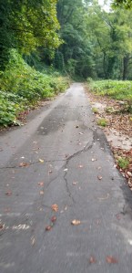
We started down Old 70/Mill Creek Road, taking a right out of Royal Gorge. This entire path was paved btw. It starts as a slow descending grade. We came up on the greenway a mile into the run. It is pretty easy to see as it continues downhill to the right behind a gate. There’s not much parking but likely not busy enough to worry if your car is on the side of the road there. We crossed the gate, and moved on.
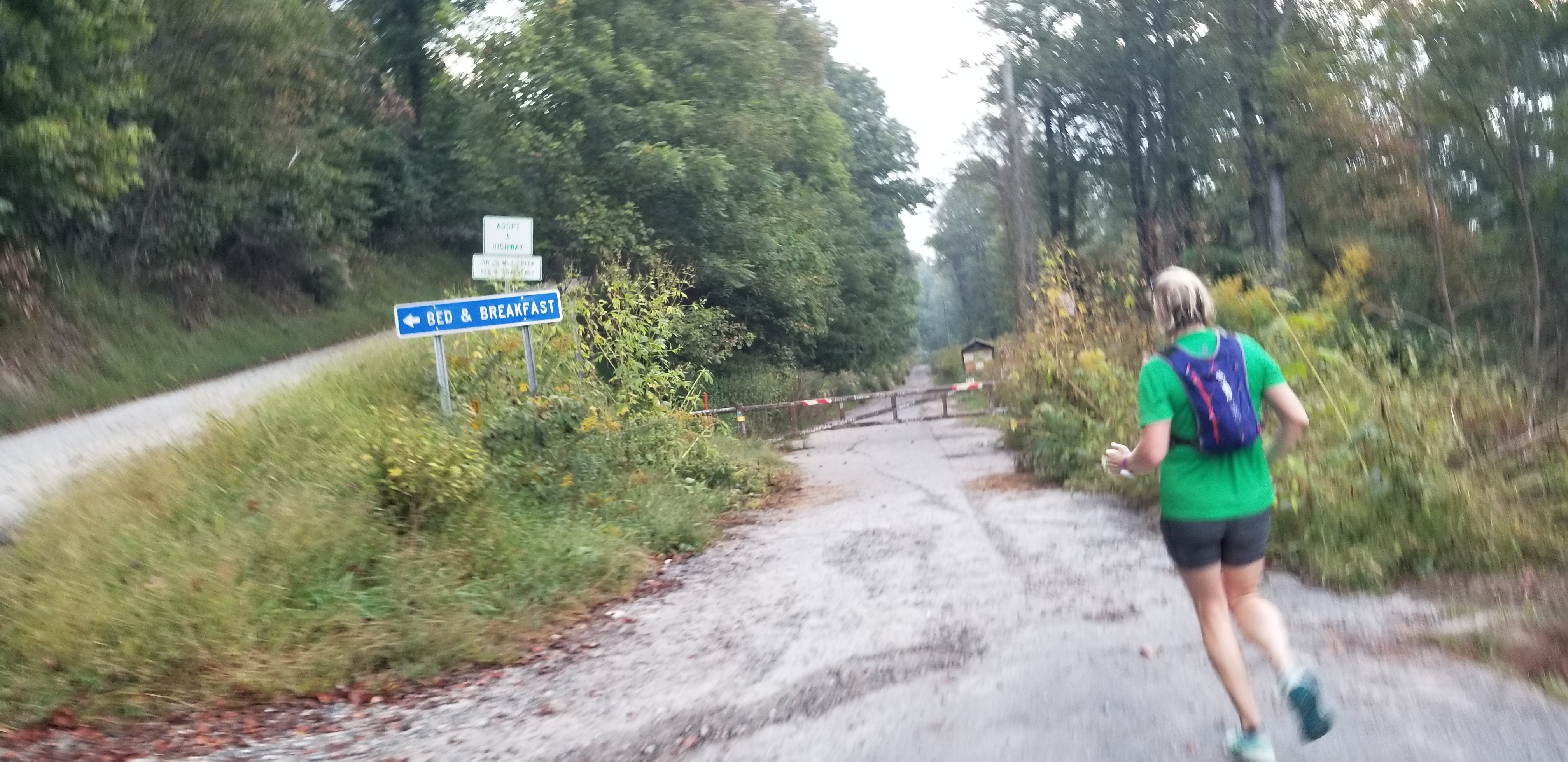

The trail is paved greenway style. Wide enough that a vehicle could drive on it one way. We didn’t pass any runners or bikers on the trail. The mountain drops off on the right, and rises above on the left. A constant descending grade the entire time.

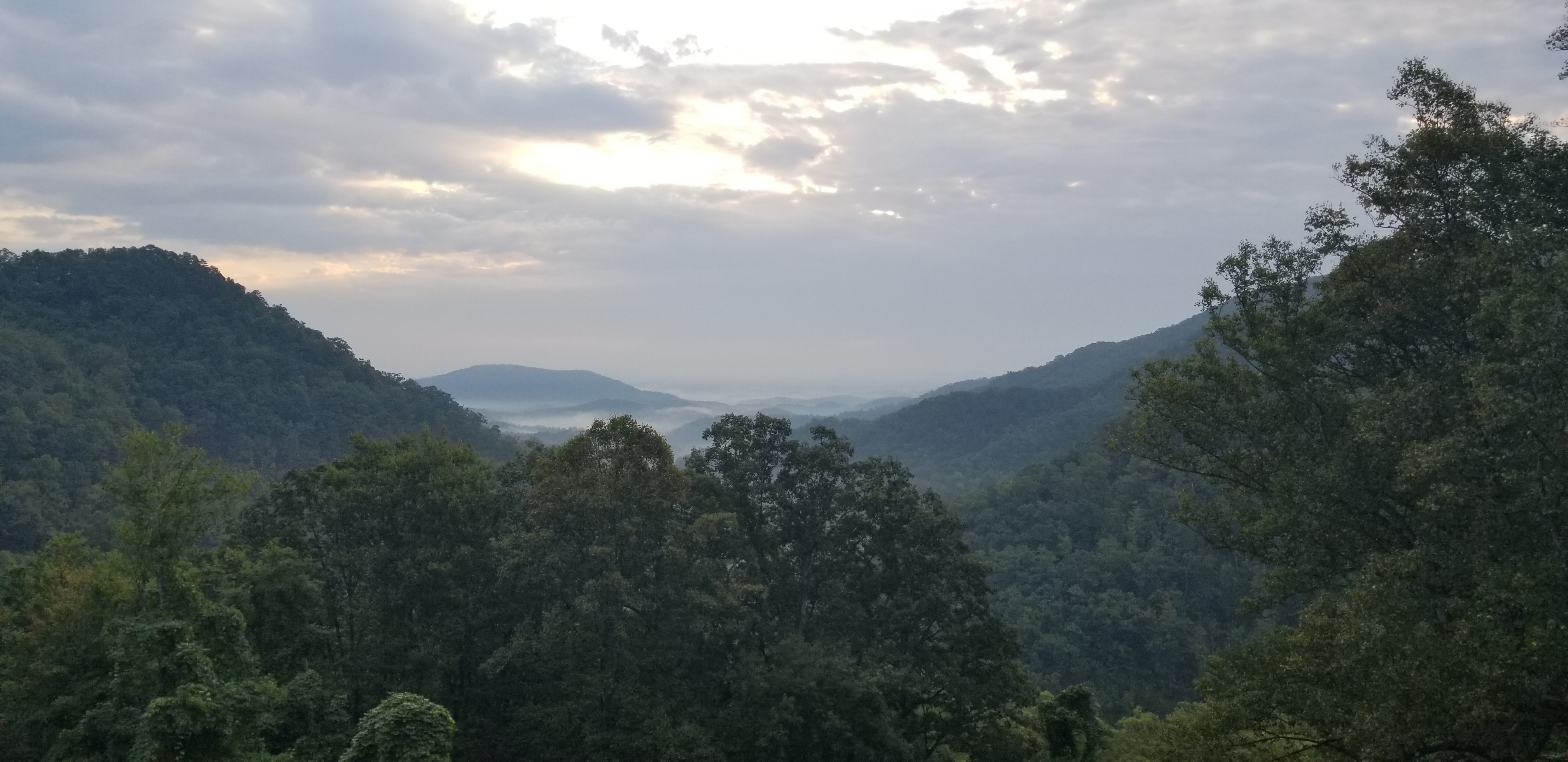
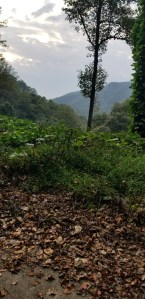
Around mile 2.25, we reached the view at Point Lookout which was a beautiful southeast view of the mountains. There were strategically placed benches along the greenway. It was serene and quiet the entire trip.

At 4.6 miles we exited the greenway and started on 2 lane road. In 0.25 miles, we reached the connection with Mill Creek Road, Andrews Geyser, and the exit of the Kitsuma trail of the Pisgah National Forest.
We continued over the bridge and started the portion of our run that mixes uphill, flat, and downhill road runs as we have now reached Old Fort. We continue for 2.5 more miles until we reach the main road into Old Fort. We turned left and headed on the sidewalk into town until we reached our destination! We had a couple extra 10ths of a mile to hit 8 miles exactly.
This was an excellent run- mostly downhill 8 miles, beautiful views, serene and quiet, excellent for destination running. I would want to do with with friends and not alone.
We started at 2689.3 ft, losing 1420.6 ft of elevation. The hills amounted to 232ft elevation gain.