Several years ago I set out on a goal to start hiking more and enjoying the beautiful outdoors in this area. Asheville has made the top 10 list in locations to visit, partly due to beauty, so its time I was out enjoying it and getting healthy while at it! Dragging my 2 boys 7 and almost 9yrs old along… along with my excited lab-mix and husband when he’s not working. There are some beautiful hiking areas, and choices for all levels of hikers from beginners to advanced, with and without waterfalls, and all are good for a healthy dog walk.
To go hiking in Black Mountain, the most popular areas include trails in Montreat and Kitsuma in Ridgecrest. There are likely some trails around the various camps for kids in Black Mountain, but those I’m familiar with.
Kitsuma is a trail that is promoted to bikers and hikers. Easy to get to, after getting off the interstate I-40 at Exit 66, turn right onto 70 and follow up past Ridgecrest Conference center until you reach the stop sign. Cross Yates Road and literally across the road is Royal Gorge Road. Follow to the end of the road until you reach a parking area. From the parking area at the end of Royal Gorge Road, you’ll start the trail of switchbacks, starting parallel to I-40 interstate. The trail is semi-wide with Wild blackberry bushs as you go uphill. Our round trip from the parking lot to the top and back to our car was 2.25 miles and took just under an hour with stopping for photos. However there is an entire length of bike trail that continues on following into Old Fort from the top of that trail that we have not embarked on. More details on that can be found at this link: http://alltrails.com/trail/us/north-carolina/kitsuma
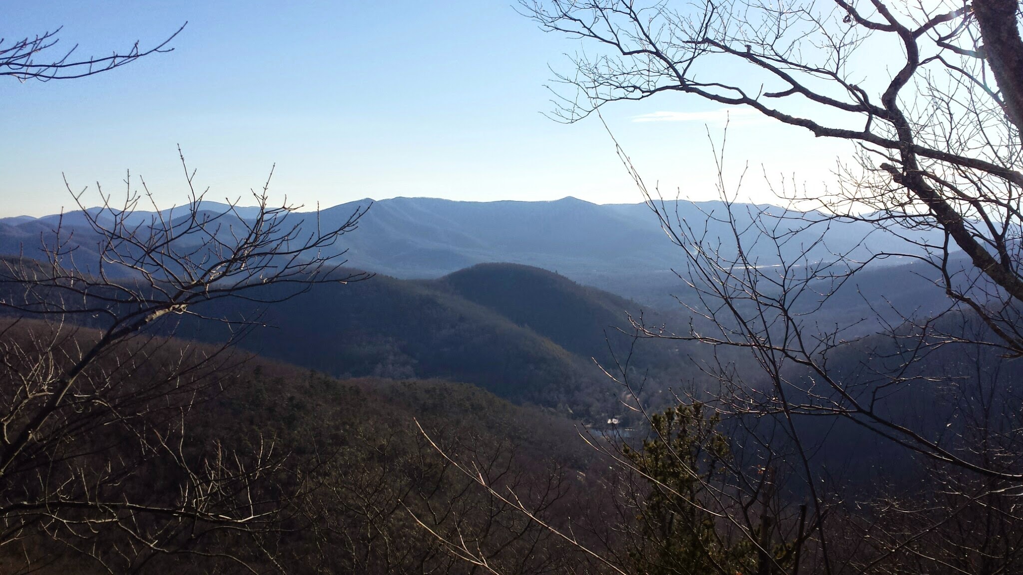
 Looking out over the city.
Montreat has a number of trails to choose from. As soon as you drive through the gates, you can start on the left or on the right, or continue to the college and go to Lookout Trace trail, or follow all the way up to Greybeard. I’ve hiked a # of them, so I’ll give you a run down on each one we’ve traveled. However, I recommend that either you pull this up on your phone, or get a copy in Montreat of the Trail maps to keep you in check. Montreat Trail Map HereWhat I love about these trails are that there are usually good blaze marks placed on the trees to keep you on the trail.
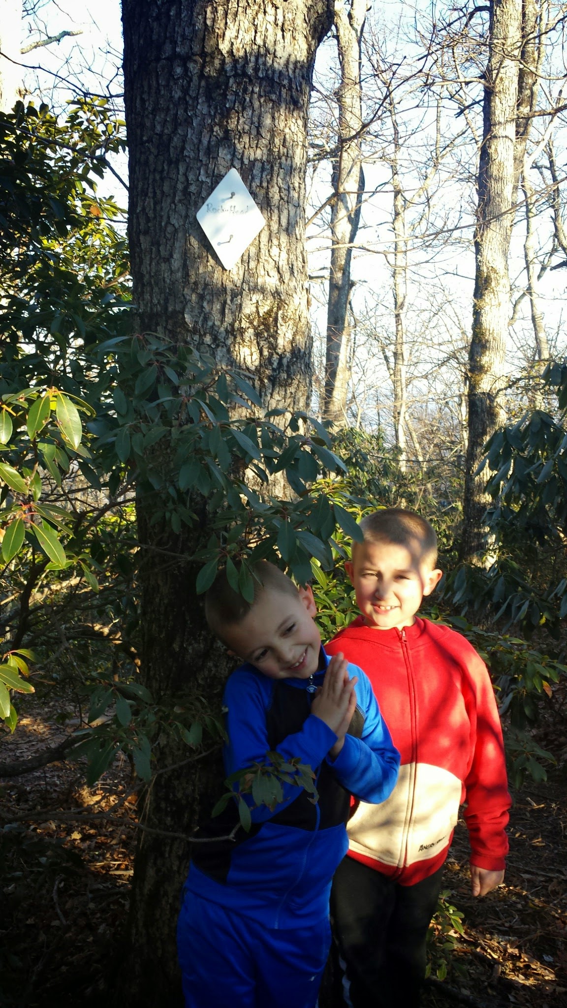
“What is a blaze mark”, you ask? 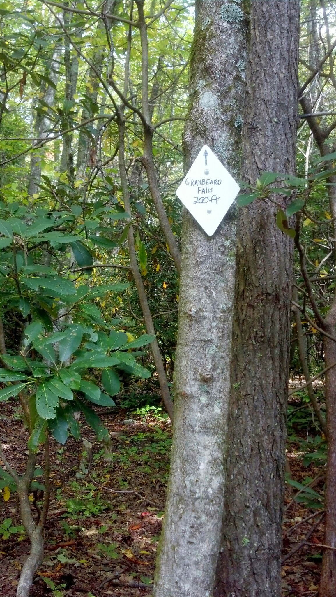 Those are the colored aluminum diamond-shaped signs that keep you on trail. Occasionally you’ll reach a tree that has 2, that lets you know the trail is separating or that you are on 2 trails at the moment
I’ll start with the most popular area.
Greybeard is a well known trail area around Black Mountain. It’s reached by driving through Montreat, passing Montreat College and Lake Susan on your right and continuing up the mountain straight ahead as it winds up until the pavement becomes gravel, and you see the sign for the Greybeard trail on your right. Many people seek out Greybeard, however usually only hike the first .25 mile of it and add it on to the Harry Bryan trail to loop back to their vehicle. This makes for easy starter trails.
For an easier beginner hiker option (these are great for kids! And the waterfall and pond bring instant gratification):
Sanctuary Trail
Julia Woodward Trail
Harry Bryan Trail
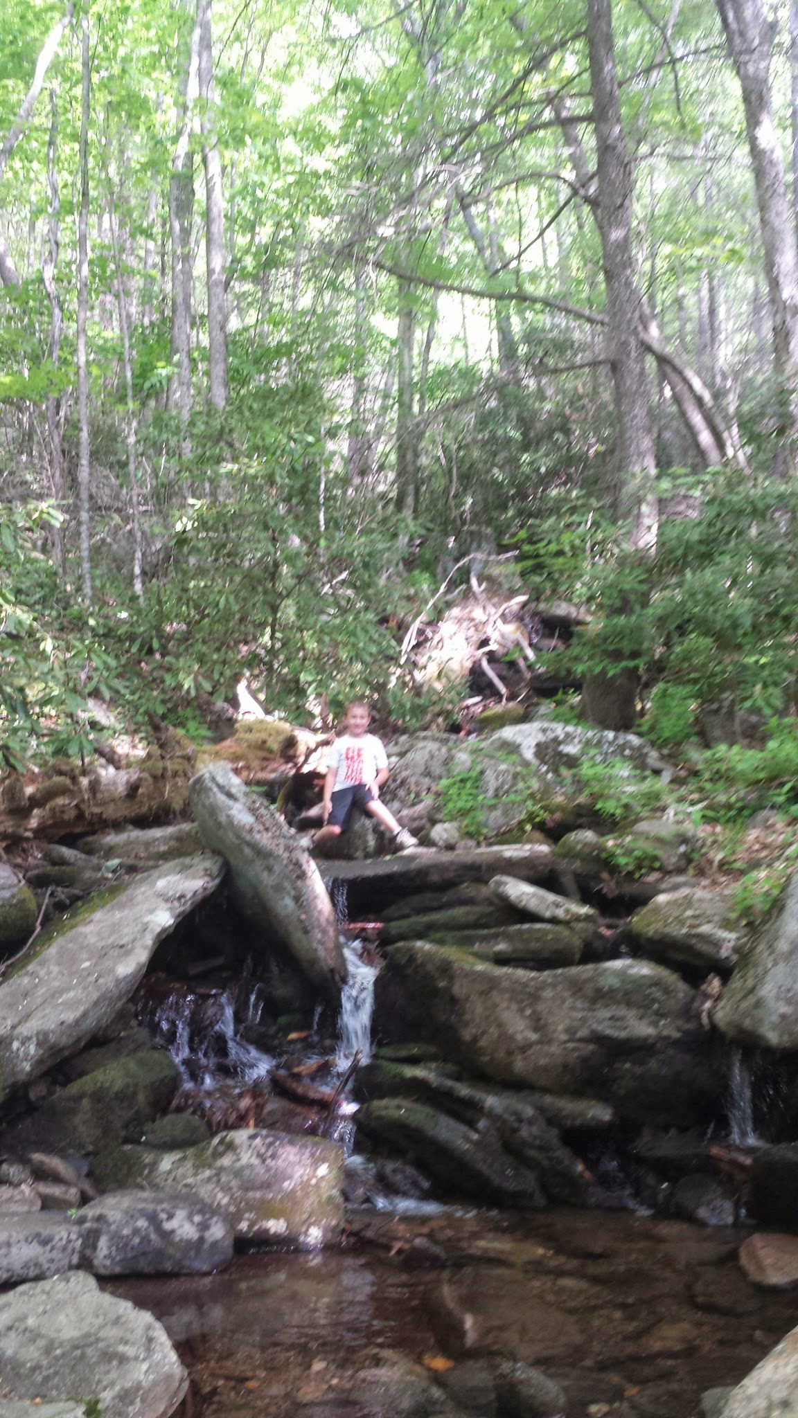
When you park your car in the parking lot at the base of Greybeard, you can go right onto the wooden bridge to start the Greybeard trail, or take a left and go up the hill to the Walk Jones Wildlife Sanctuary Trail, where there is a pond and trail around the pond.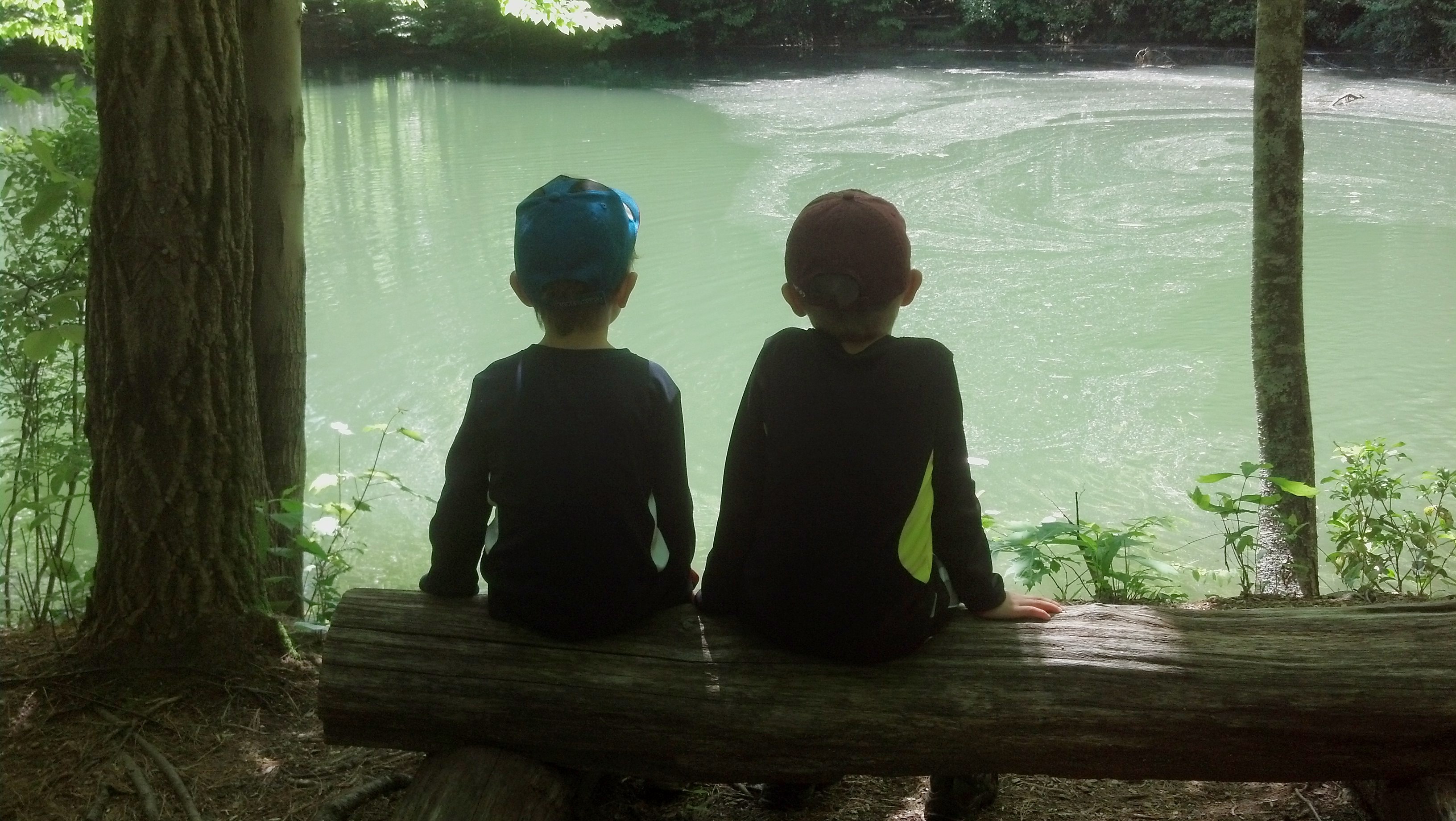 From the pond, follow the Blaze marks of the Sanctuary trail to the Julia Woodward trail for a an approximate .75 mile one way trail that leads to a small waterfall. The trail follows the creek and the rushing water makes for a wonderful sound of nature. You’re nestled in the woods, walking over logs and old pipes that used to be used in the old days. There are manmade changes to some of the areas with small bridges and seating areas as well. A the end of the Julia Woodward trail, we reach the waterfall. The kids enjoy getting close, but this one isn’t as fun to play in. There are neat boulders and log seats. We usually take a snack or lunch break at this location.
 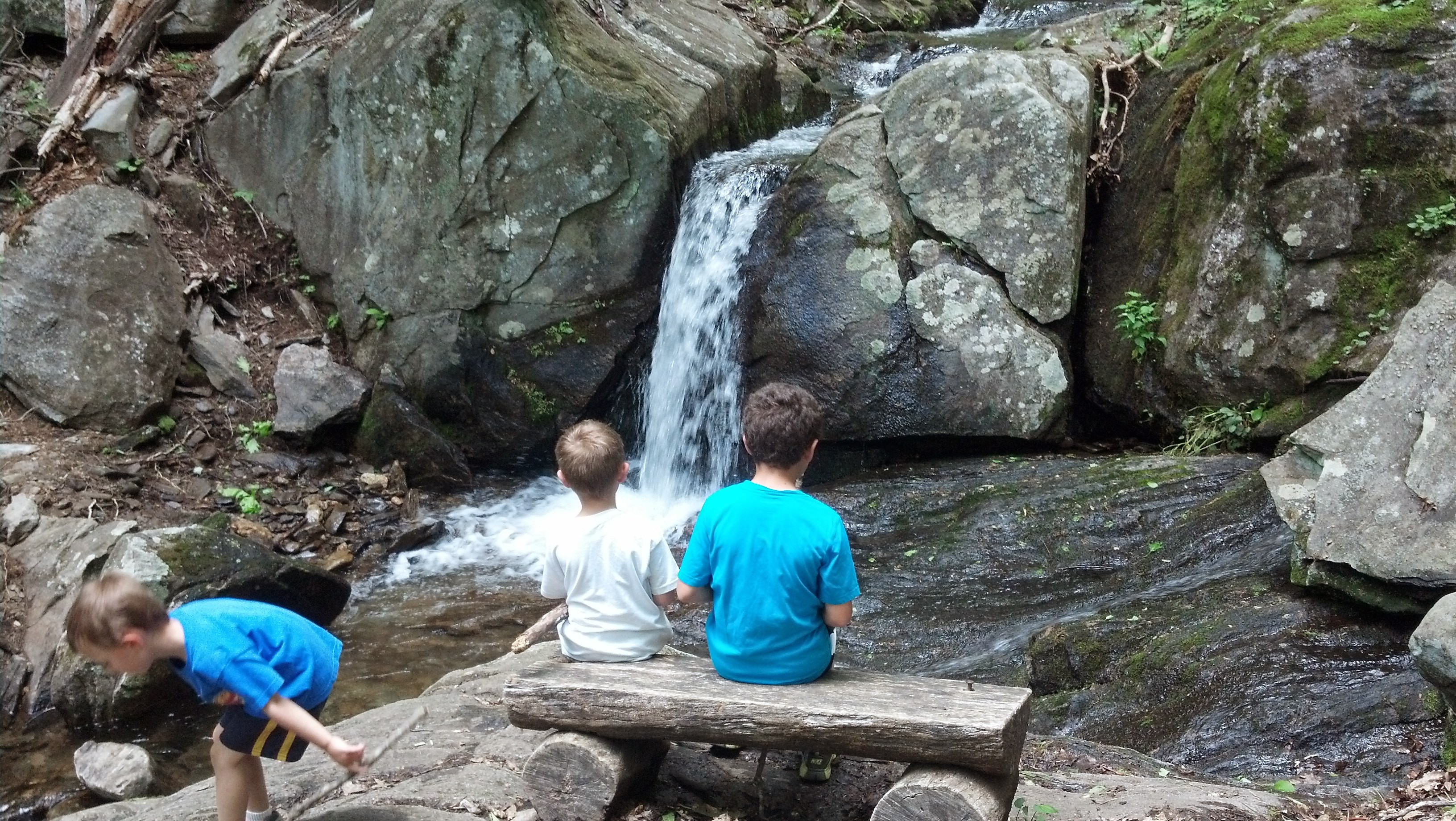 If you would like to add at least another 0.25 mile walk onto your trip, as you’re returning from the waterfall on the Julia Woodward trail, take a left onto the Harry Bryan trail at the junction of the Sanctuary trail. This trail actually ends on the Greybeard trail, where you’ll take a right and follow back to the parking area. These are all easy-moderate trails through this area and have man-made seating areas along the way and to help with the creek crossings. If you loop this trail from the Sanctuary trail to the Julia Woodward trail to the Waterfall, then back by the Harry Bryan to Greybeard trails back to the parking lot, it should be approximately 1.75 miles of easy-moderate trails with neat sights.
For the brave:
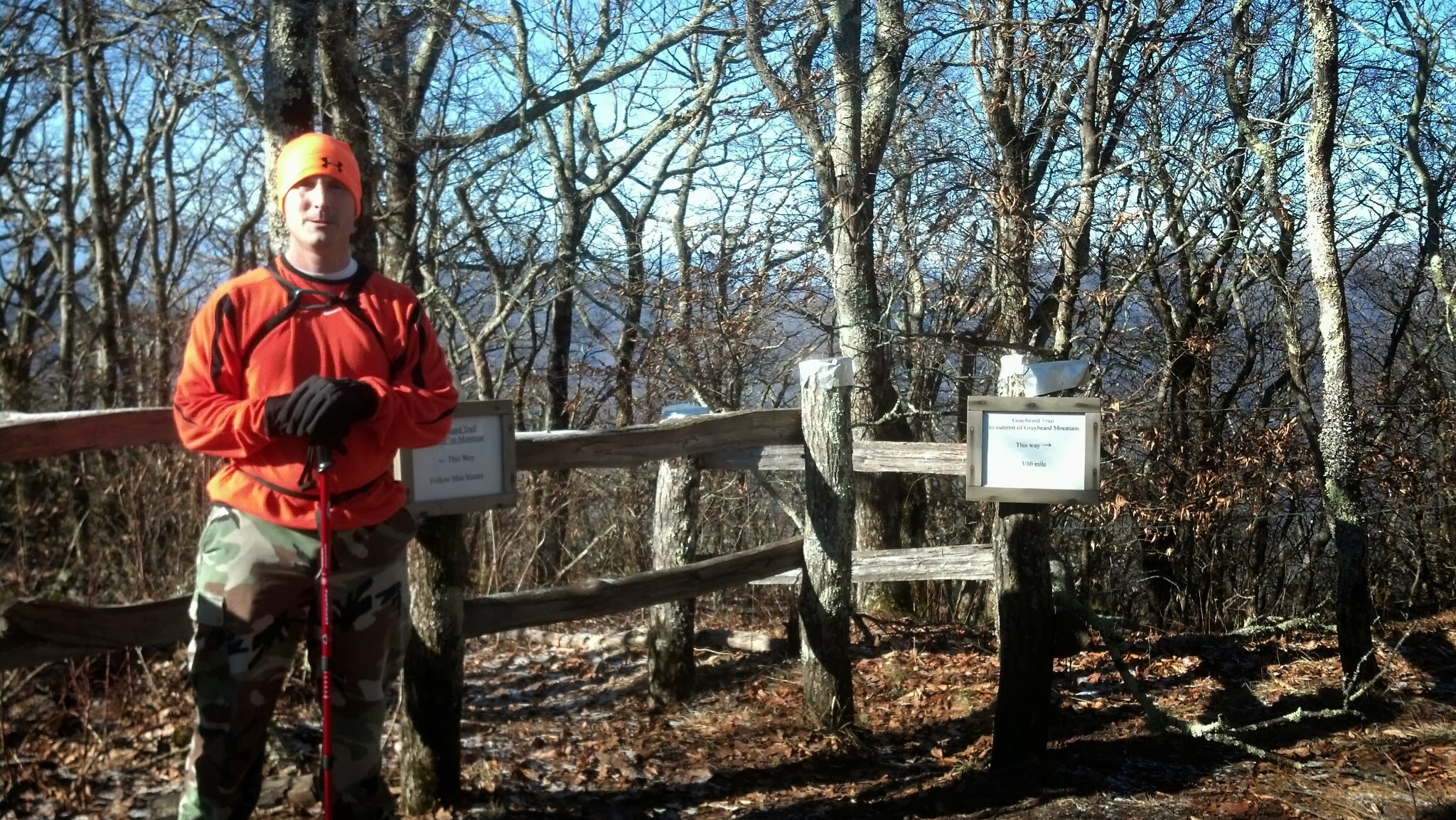
Greybeard
I feel there are several stopping points along the Greybeard Trail. Mileage at each stopping point is distance from parking area.
(disclaimer- this entire trail will take a fast mountain hiker 3.5-4 hours roundtrip with few stops, if you’re not a quick hiker, set aside at least 6 hours for this hike round trip)
1: .25 miles…See above- easy
2: 1.3 miles to the first small waterfall- moderate
3. 2.75 miles to Greybeard Falls-easy
4. 3.75 miles to Walking knob-moderate
5. 4.5 miles to the Summit of Greybeard – Tallest Peak in Montreat- moderate
The first 1.3 mile hike is steep. You cross 3 river crossings (this is an easy task) and at the top of this is the smaller and lower portion of the Greybeard Falls, and if you cross the creek will lead to the Old Trestle and Old Mitchell Toll Road. But we don’t want to go that way to reach Greybeard.
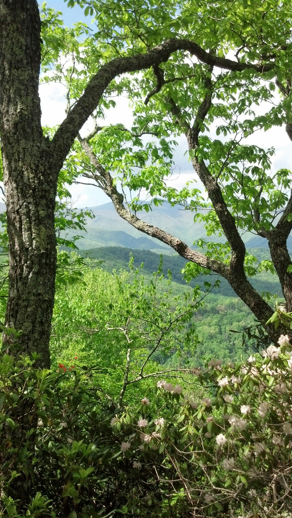
At this 1.3 mile mark, you’ll take an immediate left and go what is a relatively flat next 1.5 miles. You pass beautiful flowers, and you get one gorgeous view of the mountains before the first switchback.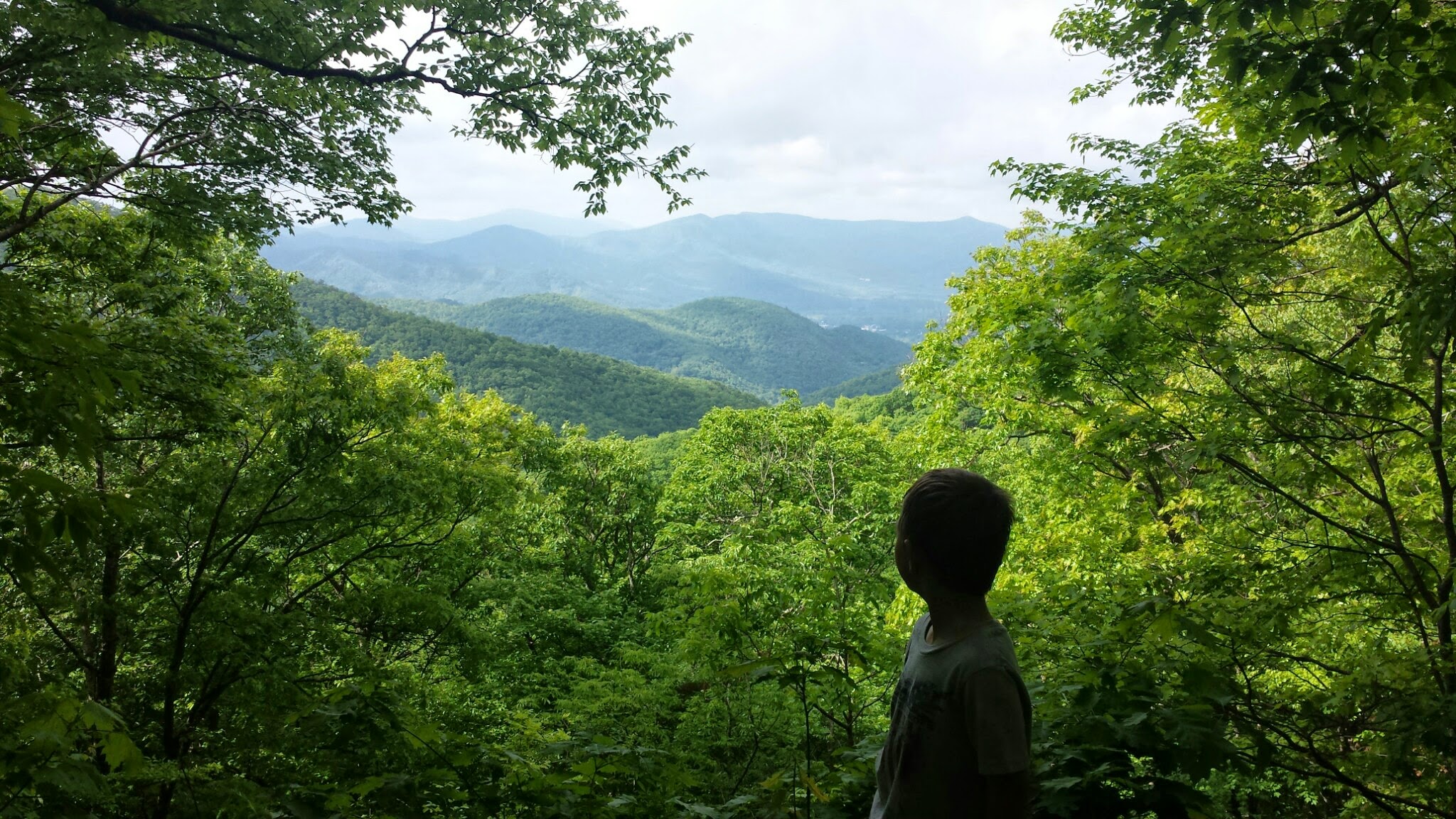 At the next switchback there is a small sign that tells you to go straight to Greybeard falls rather than to go left. Its a short .05 Mile to the falls. If you walk up the trail that’s not well marked on the left of the falls, you can climb to the top of the falls. Be careful though. You have now hiked 2.75 miles.


Head back up your trail and continue on another mile as the trail does get steeper. If it has rained recently, there are areas that hold water in this mile. You’ll have 1 big switchback in this as well. Until you reach the shelter and sign for Walker’s Knob. If you’ve made it this far, you have to go the extra .15miles to the Walker’s knob overlook. It’s flatter and a few downhills in that short trail, but the sight is unbelievable! You are now at approximately 3.75miles.
My kids did this with us a few weeks ago up to Walker’s knob. We started at 8:45am and got back to our car around 12:25pm. A few snack breaks, but we kept it going! This was their longest to date and we were very proud of them. They have not been to the top of Greybeard yet…
![]()
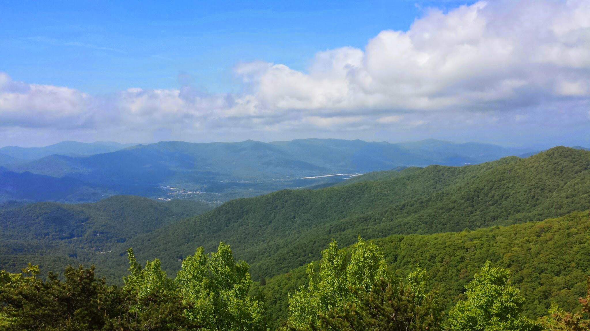
Head back to your trail and up approximately 1 more mile to the top of Greybeard. Depending on the time of year may determine your view. I don’t personally think it’s as beautiful as Walker’s Knob, but its worth the last mile climb to say you did it!

![]()
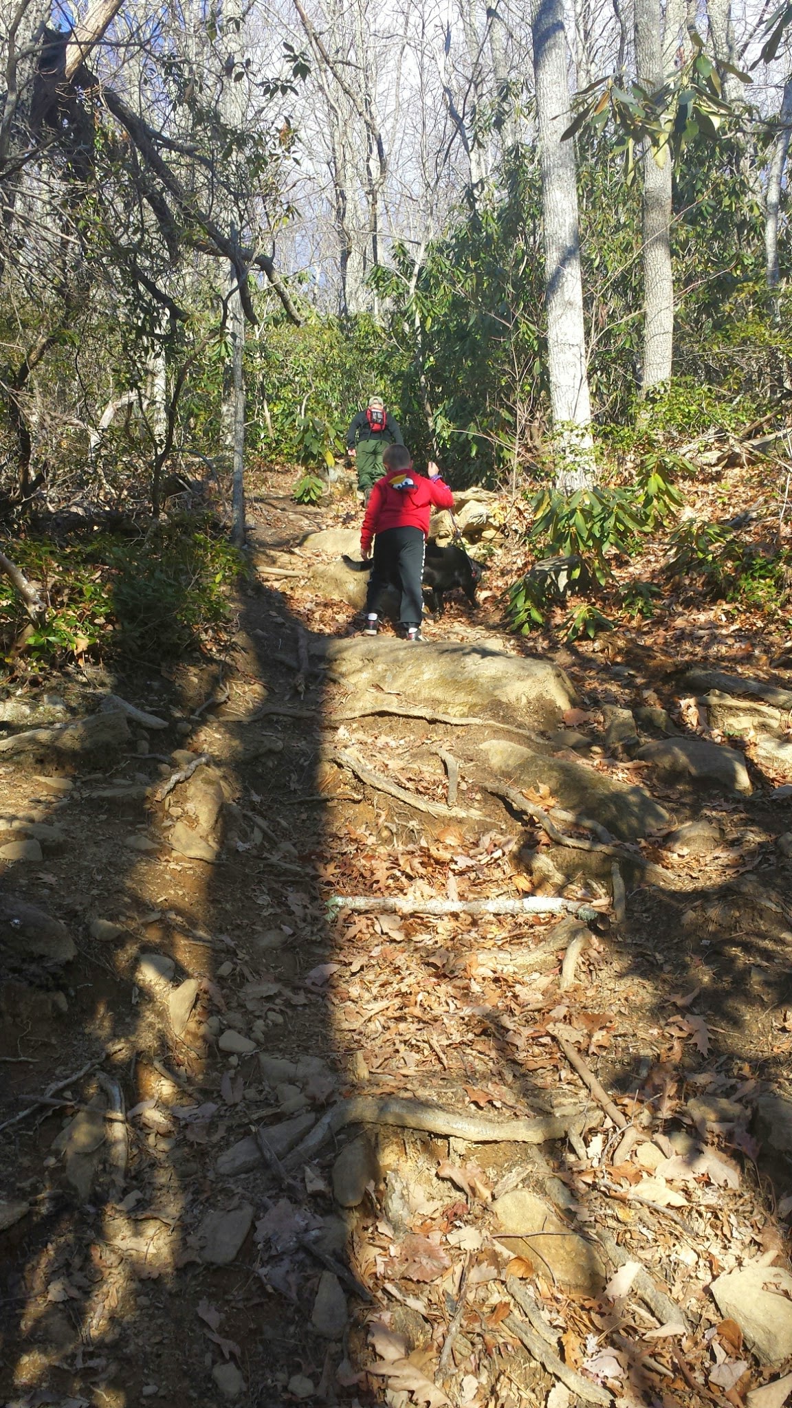
Rocky Head Trail
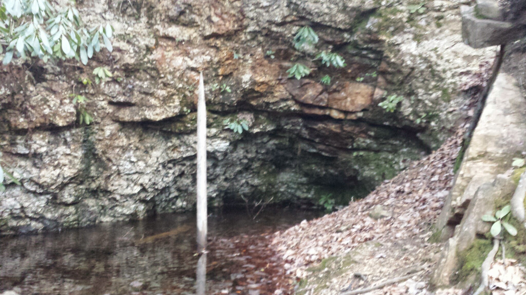
This is a strenuous .8 mile hike that starts in the Montreat Campground behind the bathhouse. If you go after hours, you’ll have to park at the gate at the bottom of the campground and walk up to the bathhouse to start the trail. Its just a couple tenths of a mile from the gate. There is a sign on the right for it. Its great exercise and has some pretty views. The kids did whine and stop and sit, request water a few, no, multiple times! Neat history as you walk over Old water ponds/Montreat Reservoir and pipe holders from the early 1900s as you make the climb. It’s not as steep on the 2nd half of this climb after the ponds. Luckily my husband is a history buff for this type of stuff and recognized what most of it was. There is at least 1 pretty view along the way.

Before or after climbing this trail, head up another campsite to #21 where you’ll see a small sign on the right for the Mica Mine. This mica laced short 5 minute steep hike leads to an old Mica Mine that is worth checking out if you’re in that area.
Thanks for reading! Please feel free to leave comments or ask questions! I promote getting out and enjoying this beautiful area!
I’ll post a Part 2 to this on a later date 🙂 There are so Many hiking areas in Black Mountain and Montreat!
