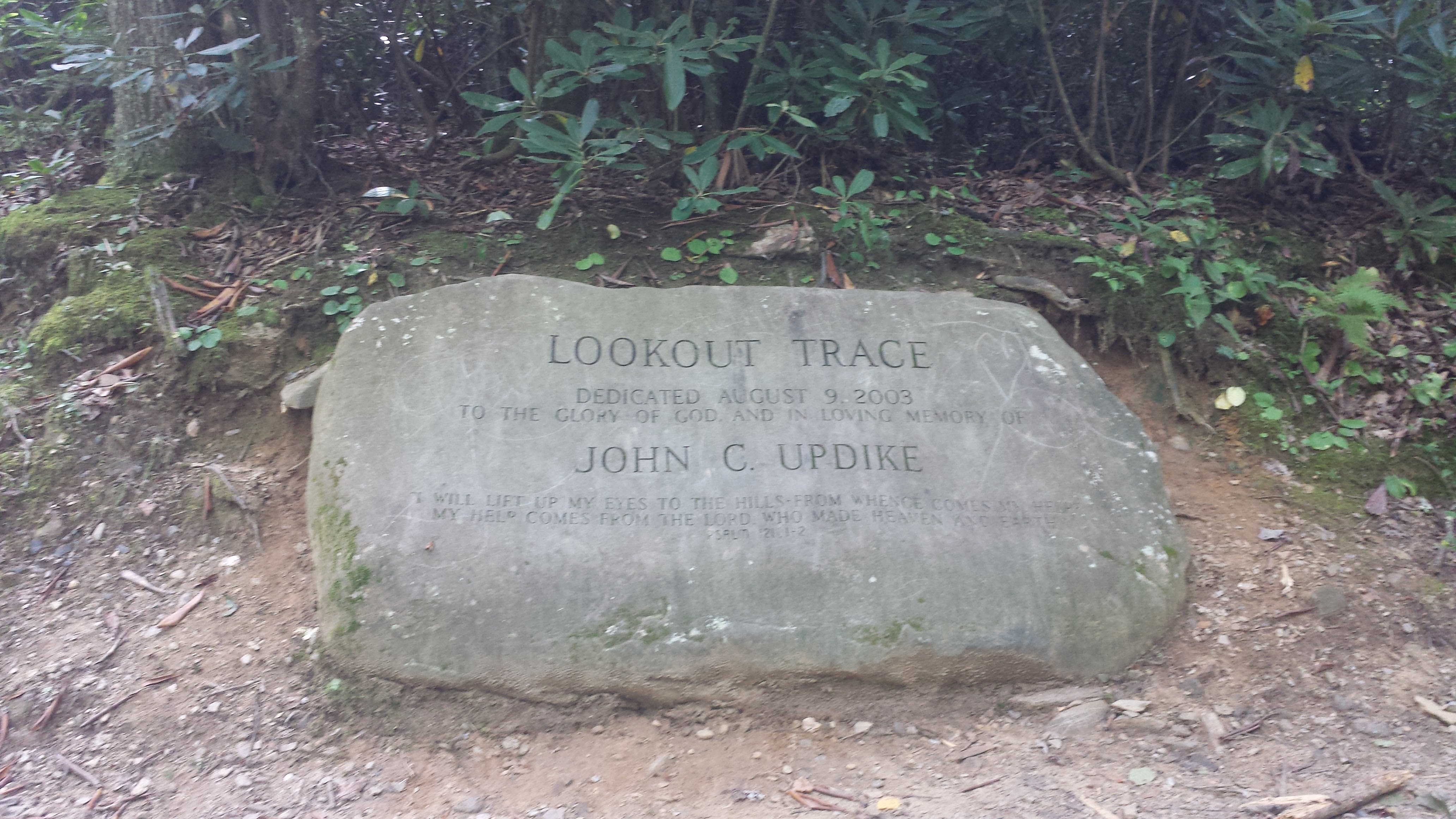
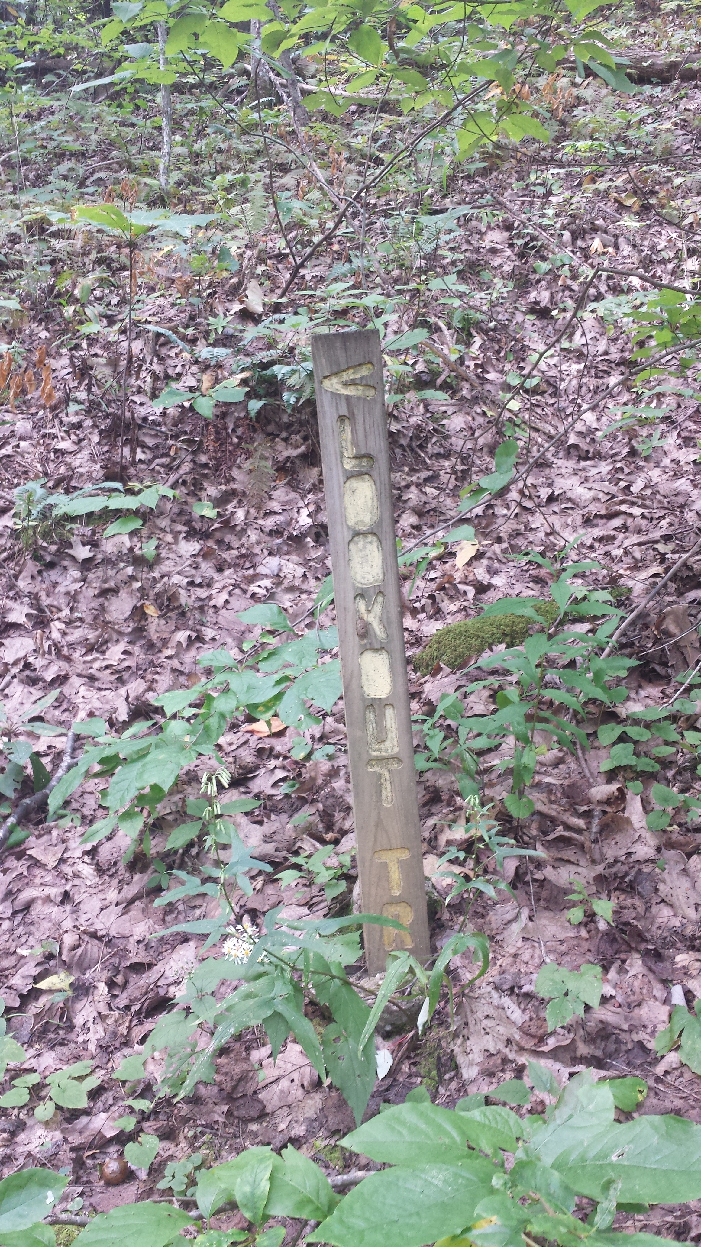
Lookout Trace Trail is a great option for a short hike with intensity and an amazing view at the top. With this lookout settled in the Eastern Ridge in Montreat, you’ll pass many Montreat college students and locals doing this hike. I had a friend to talked about how he lost so much weight doing this hike several days a week at least.
Our total time: 46 minutes round trip (not counting stopping at top)
Mileage: 1:09 miles roundtrip
Wear good stable shoes
Bring water- there aren’t water stops along the way
Terrain- steep, rocky, moderate
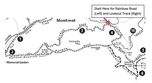
To see the official Trail map, see here
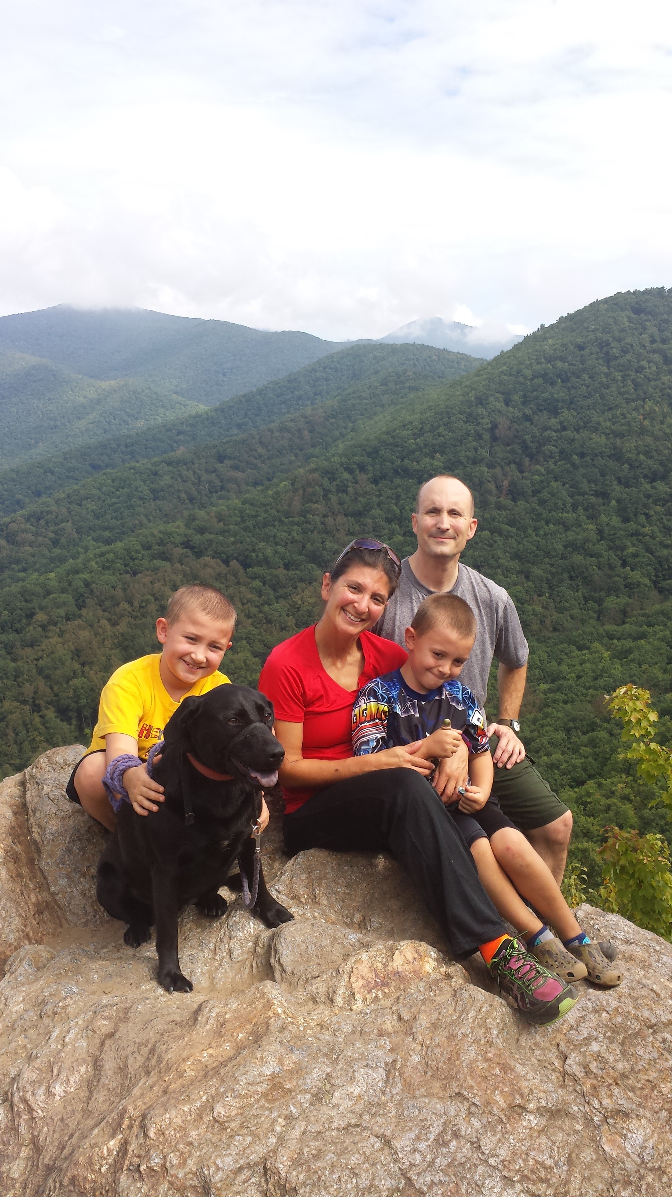
Surprisingly its kid-friendly despite the steepness of the climb. The entire 3rd grade at Black Mountain Primary was able to do this hike last year. However plan for extra time if you have extra small ones or older climbers who are not strong hikers.
It is not recommended, though, for people who have a lot of pain with hills or recent injuries to the lower extremity. There is some climbing involved, but not so much that its dangerous.
There is also an easier route to the top for those not wanting as steep an uphill climb, however it takes a little longer.
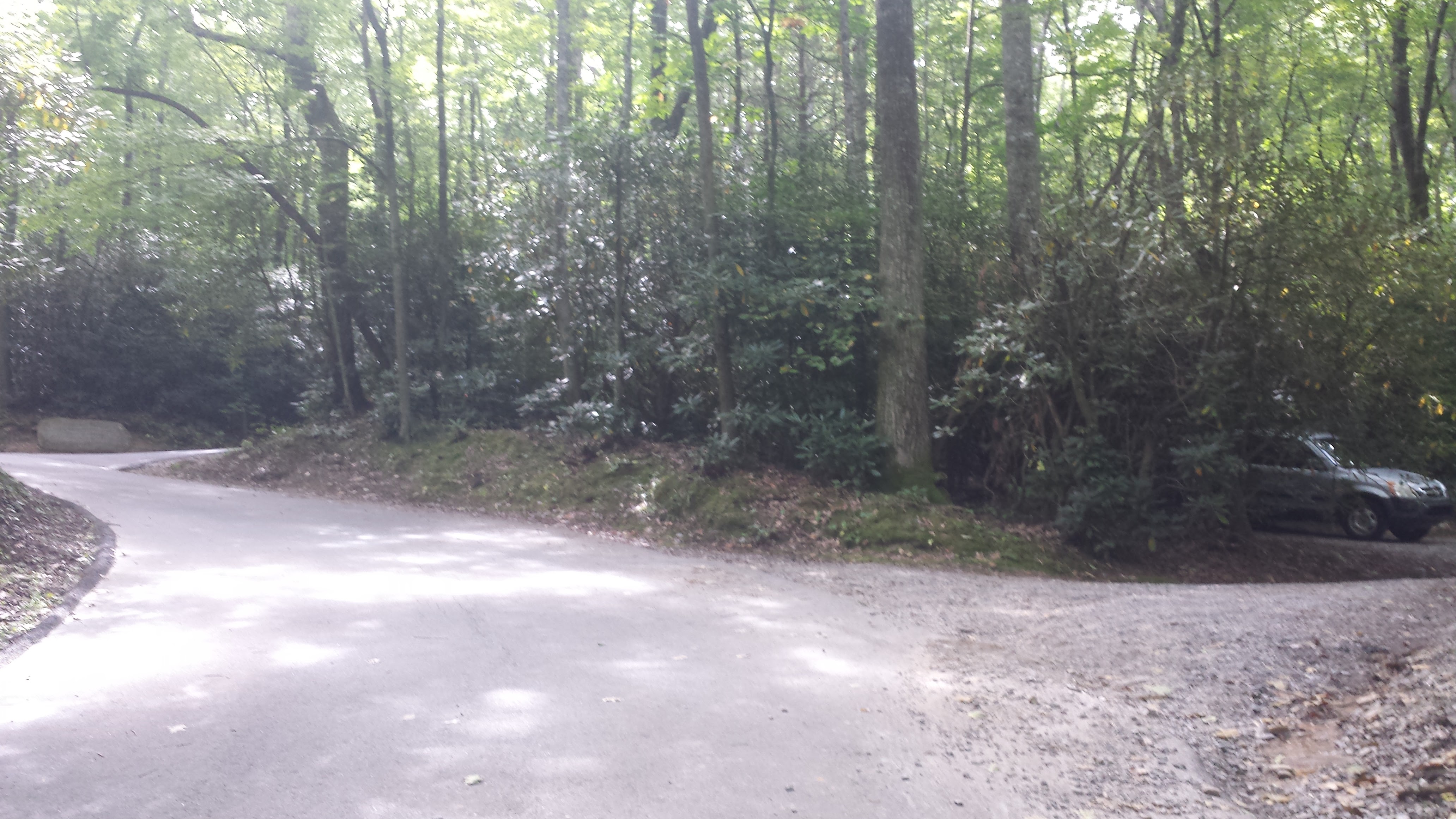
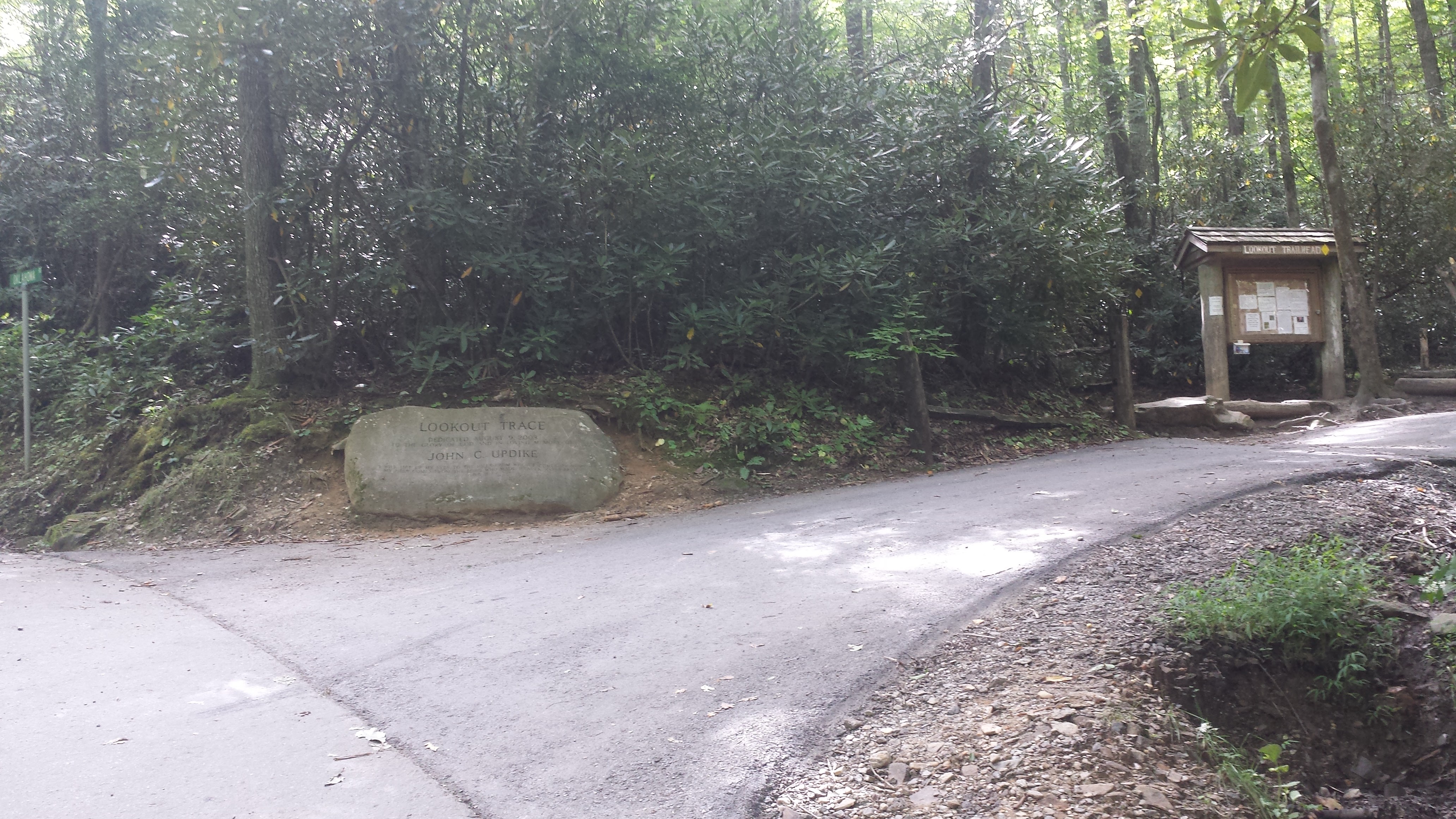
To reach this hike, take exit 64 off I-40 interstate and take a left onto Montreat Road towards the town of Montreat. You’ll stay on Montreat Road until you reach the Montreat gates, continuing on. After passing the park on the right, you’ll turn right onto Lookout Road. Head on up approximately 1 mile (just before it become gravel) and you’ll see 2 parking areas on the right. You can choose either, but you’ll start the trail at the upper one by the rock.
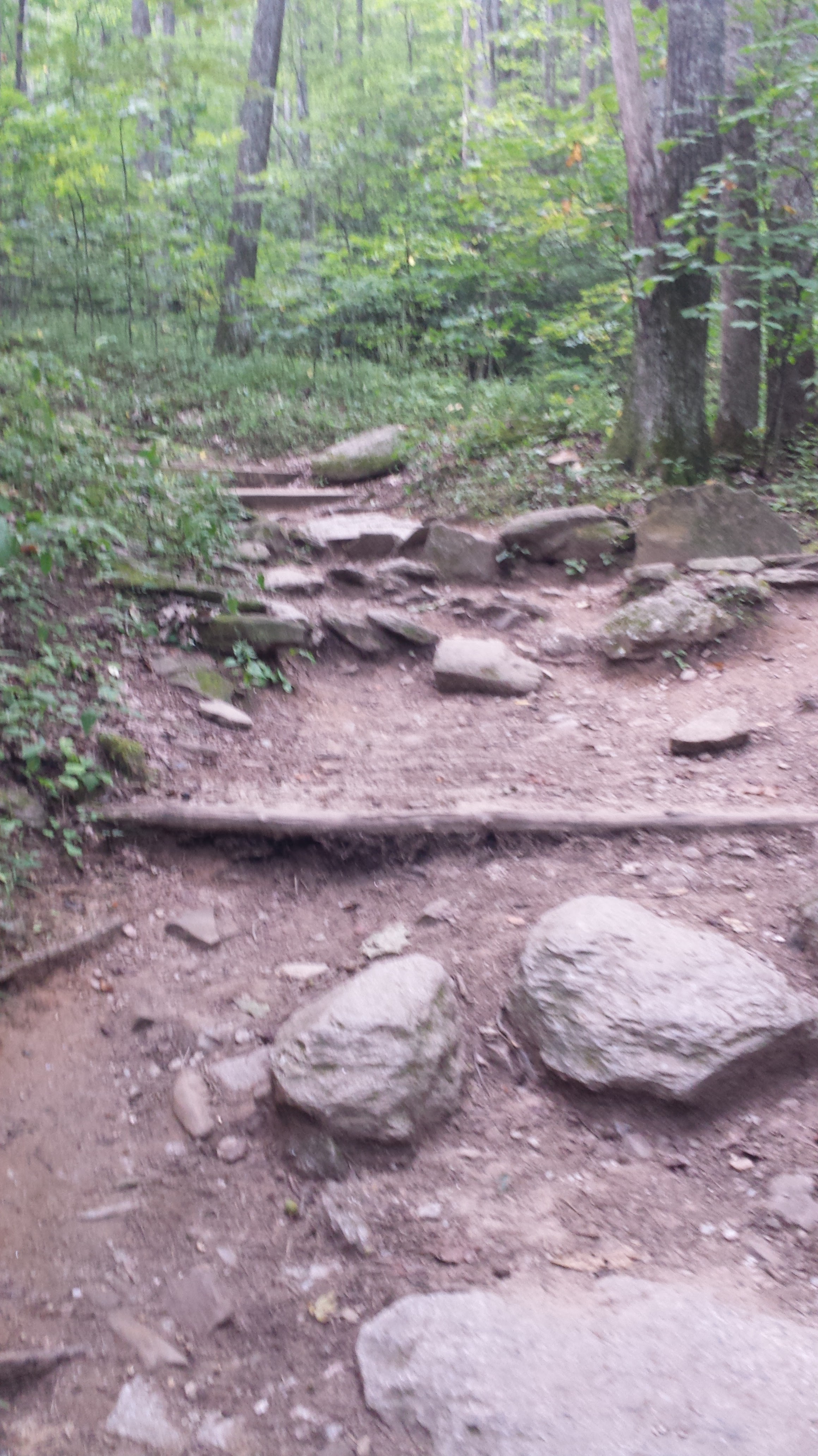
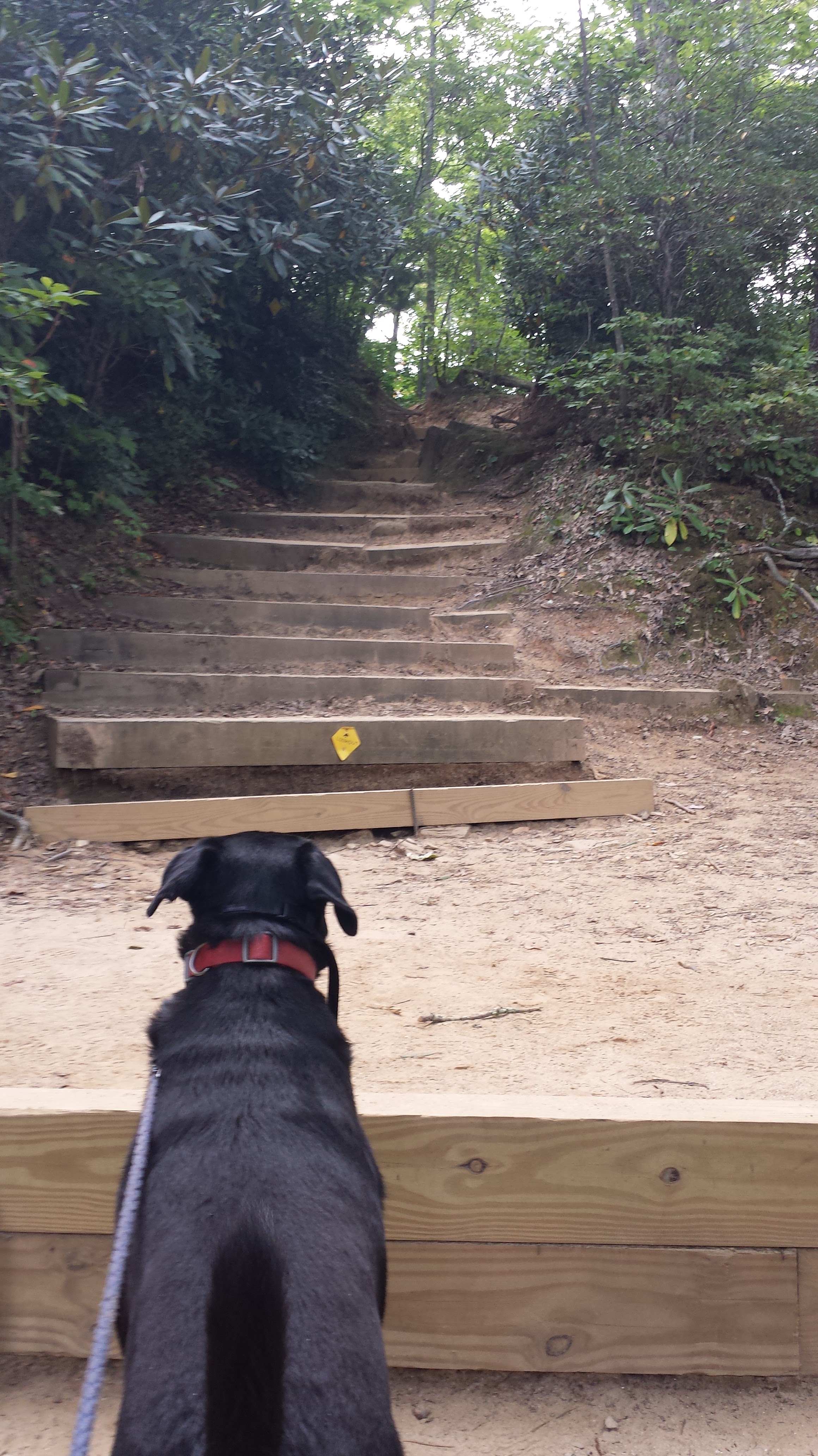
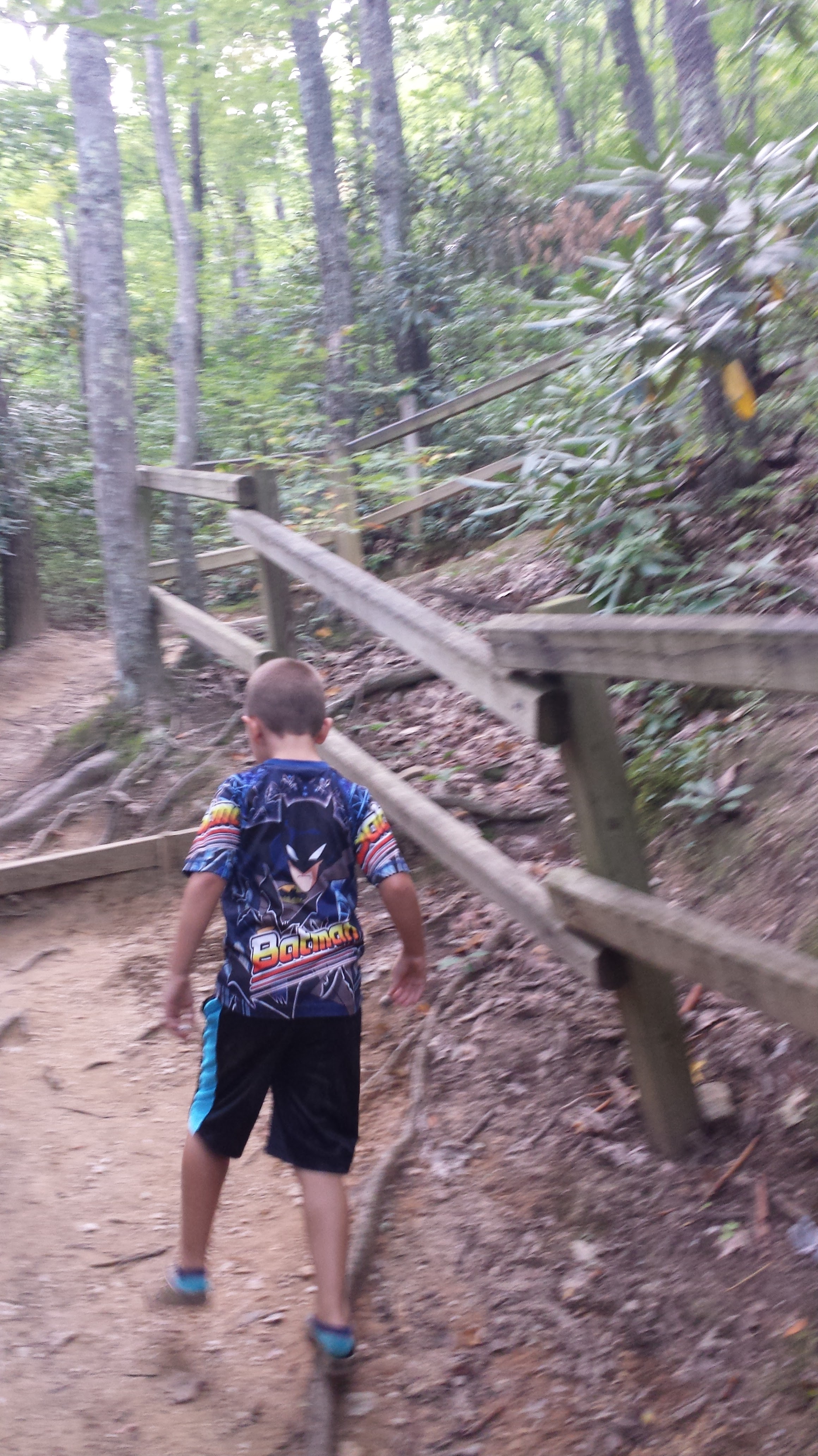
This hike is steep. It gains 358feet over .55 mile. There are many wooden stairs and rock stairs to help with this trail. The first .38 miles is mostly this way, but if you keep a good pace, will only take approximately 15 minutes.
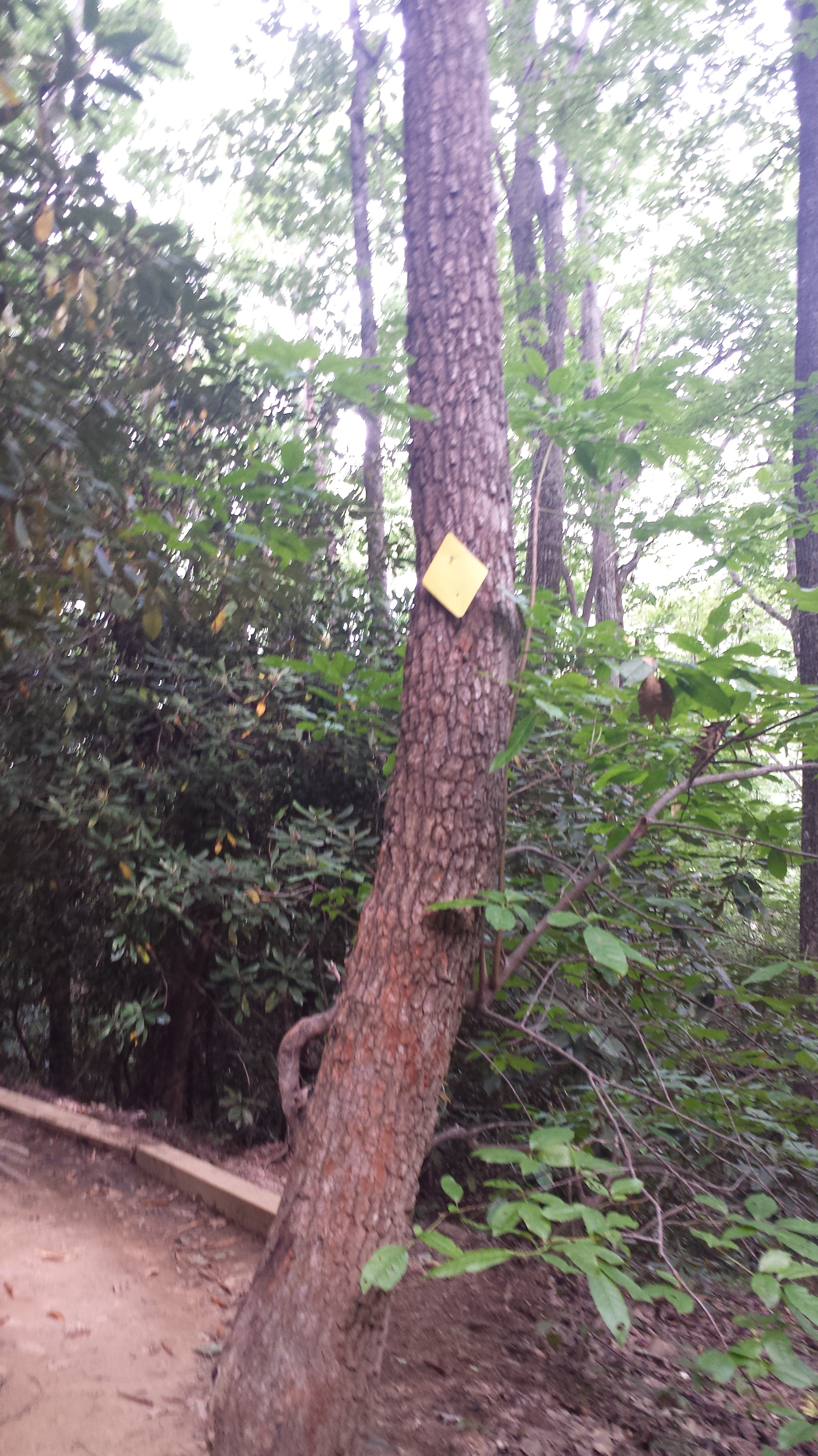
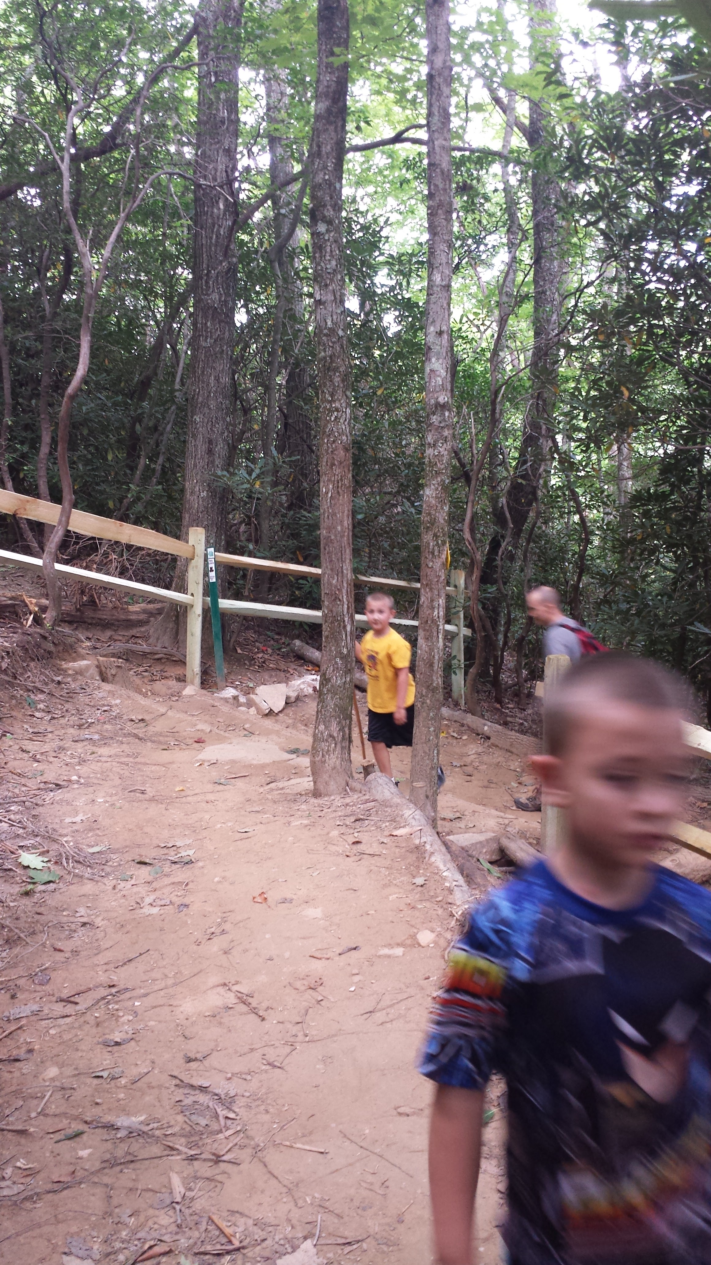
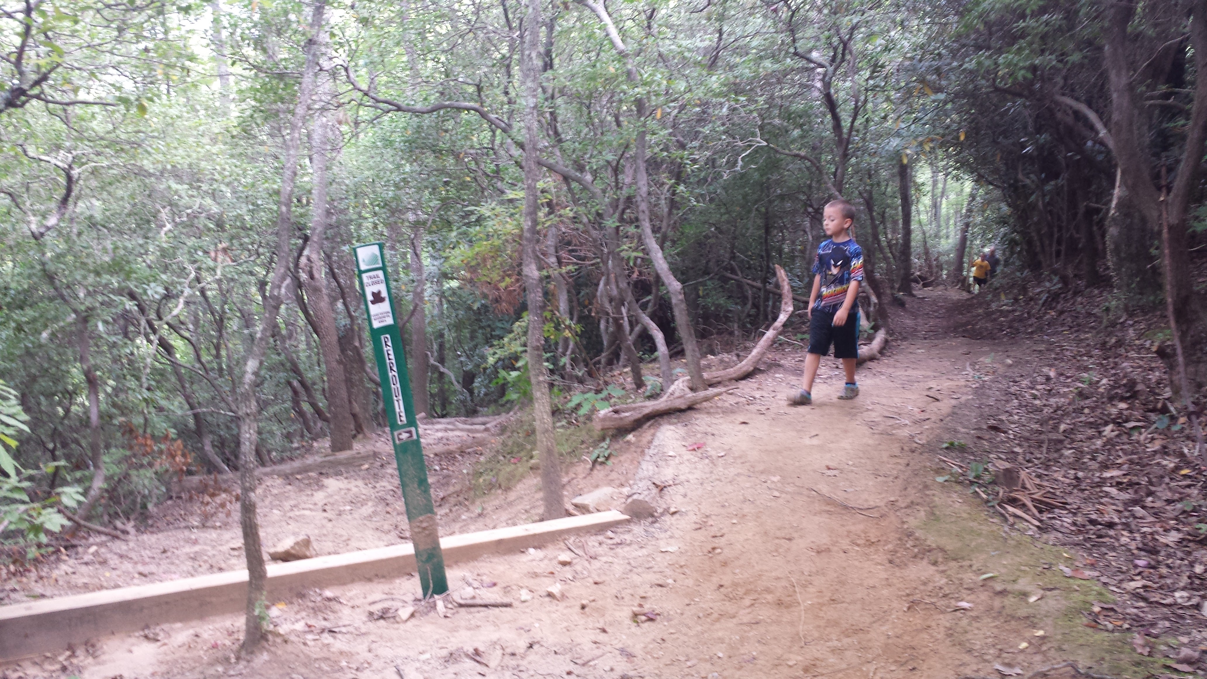
For hikers who have done this trail before, there is actually a new route that has been created to preserve some of the area before you reach the logging road. So you’ll notice new fencing and signs denying you access to the old route, and a new switchback.
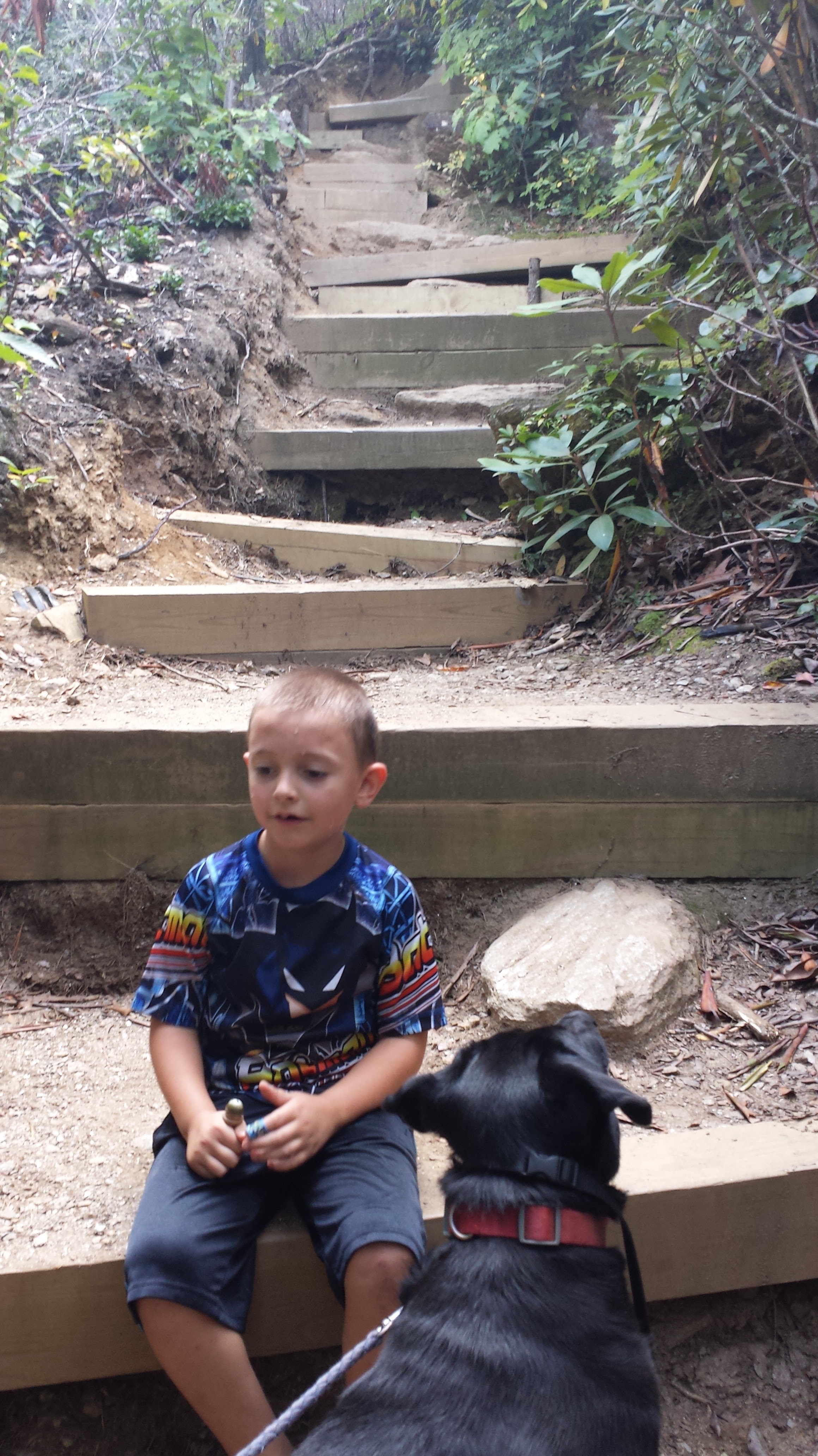
You’ll come to what seems like a cross way where the Old Logging/Trestle road crosses your path. Continue straight ahead up the stairs.
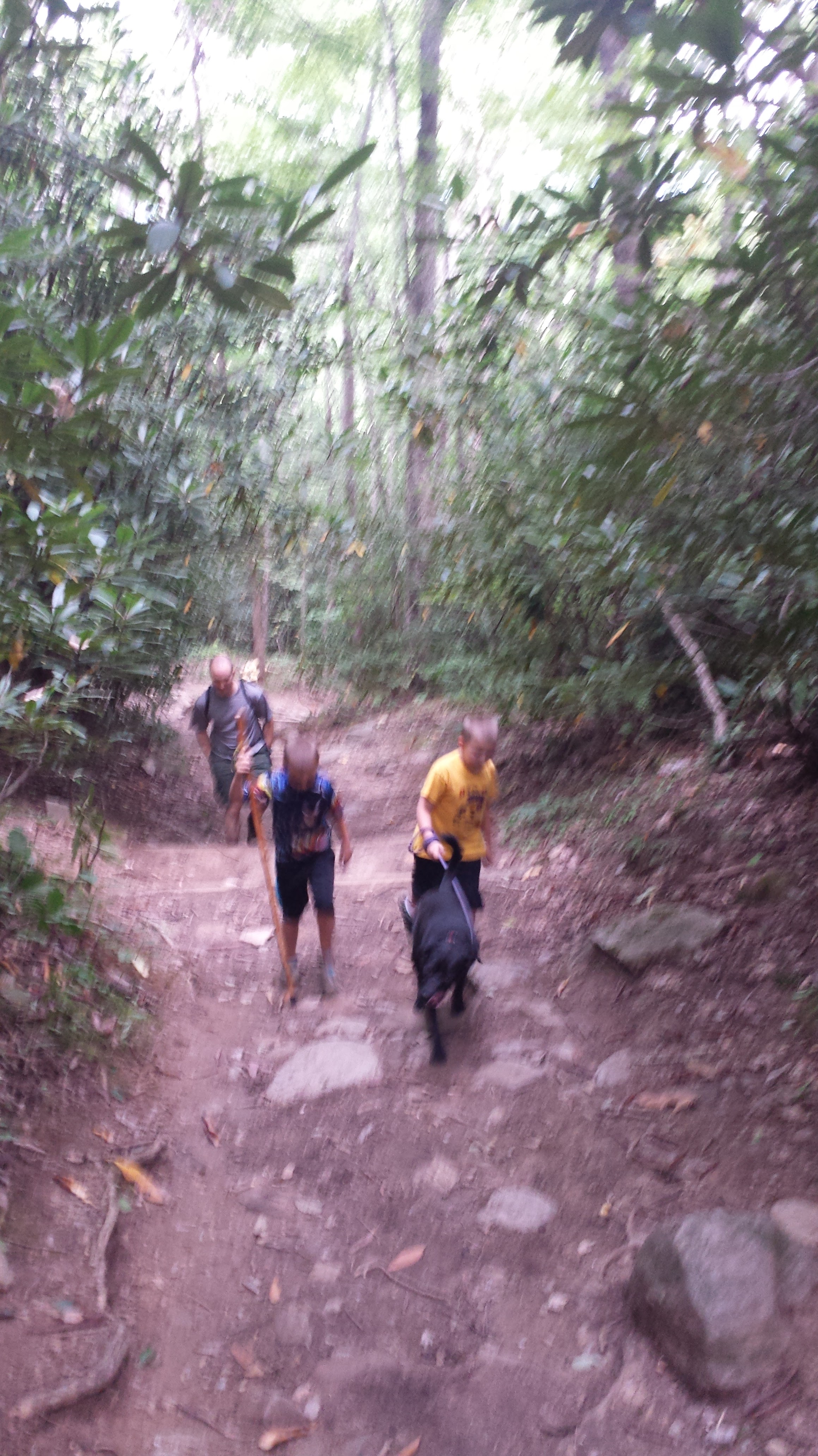
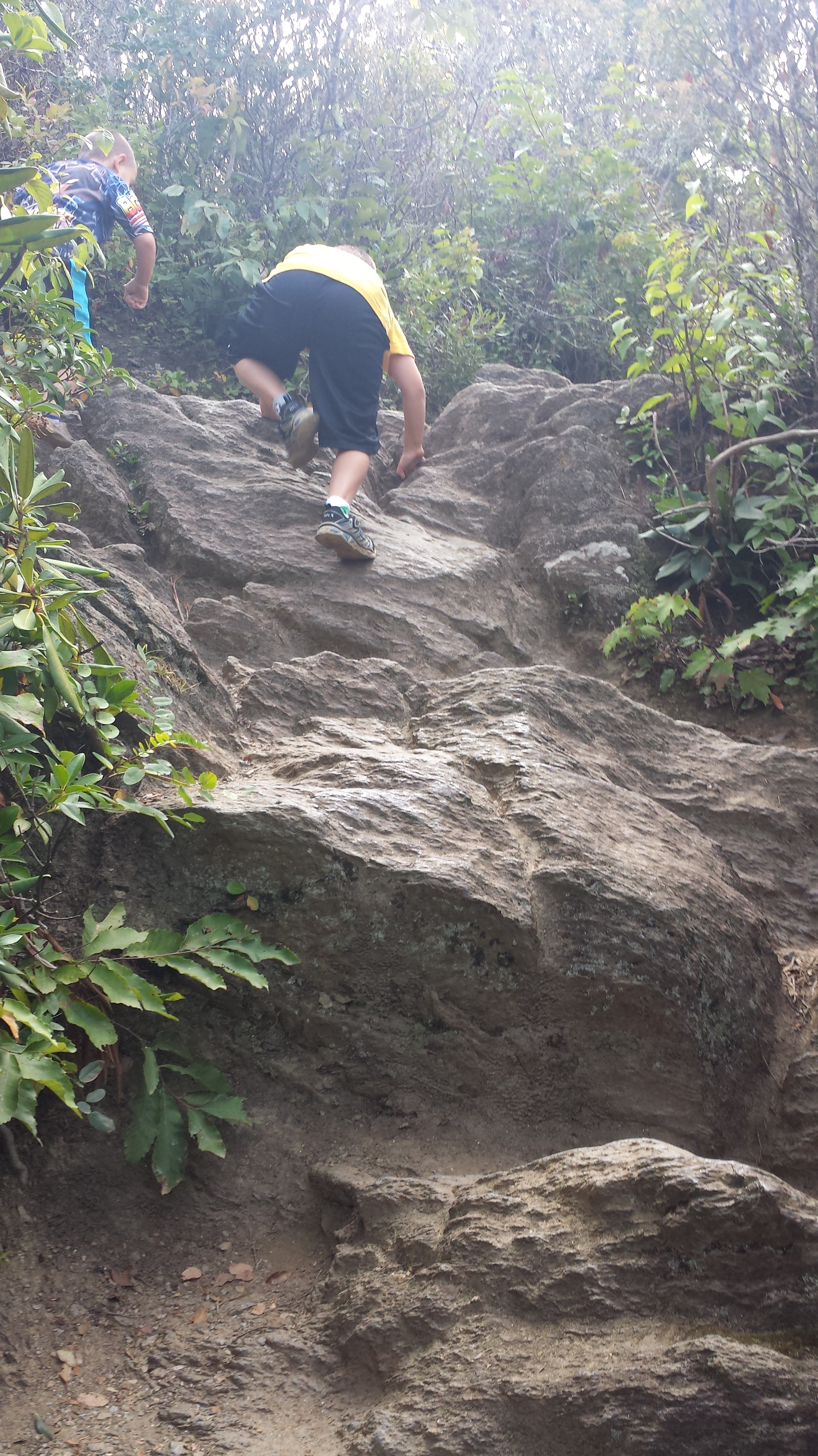
 The hike is actually going to get steeper at this point. So be prepared for more rock climbing adventures over the next .2 miles to the lookout. But don’t worry, its doable and not dangerous as long as you take your time. There are some man-made stairs placed along the route as well.
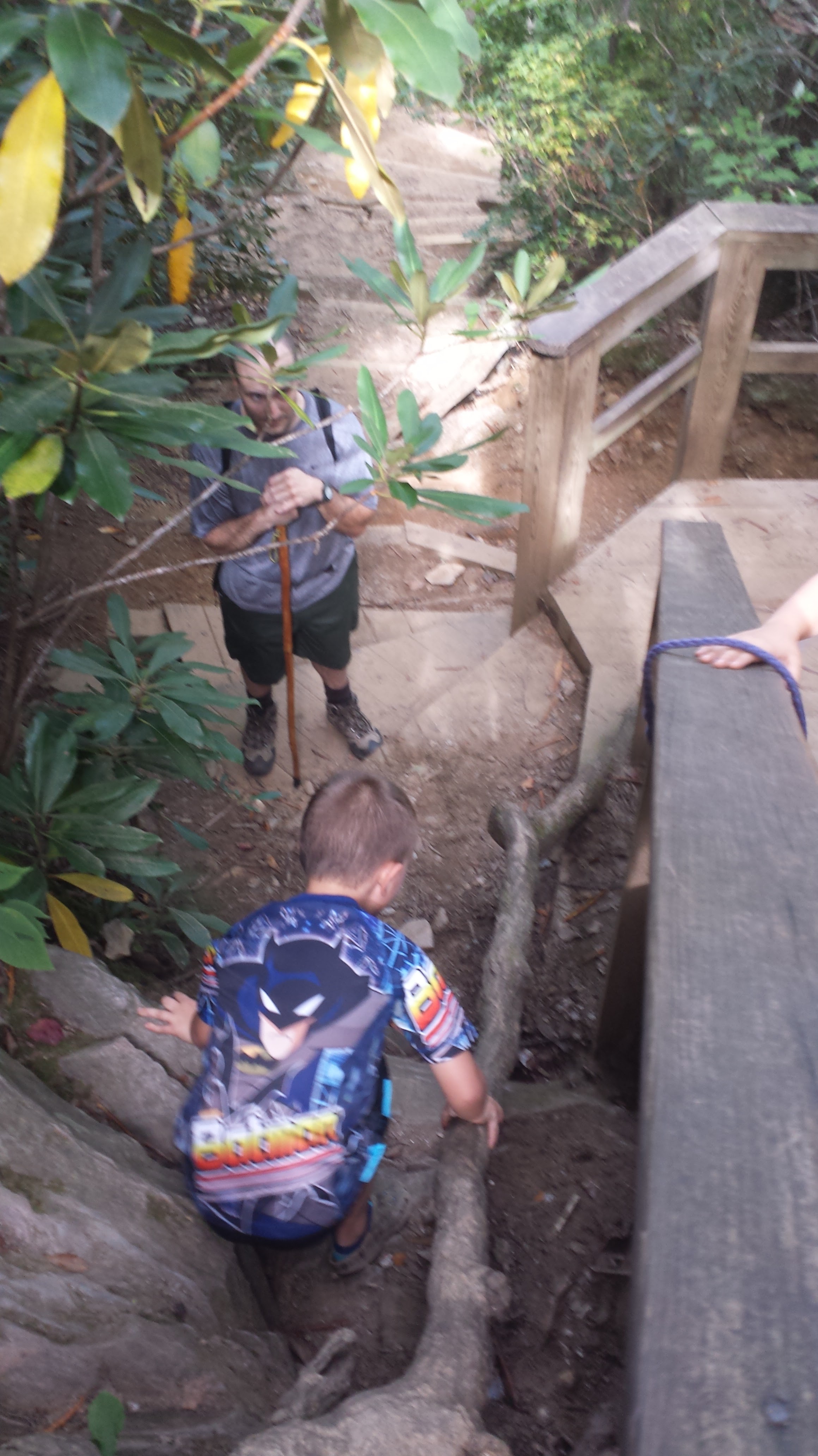
(This last picture was actually as we were going back down)
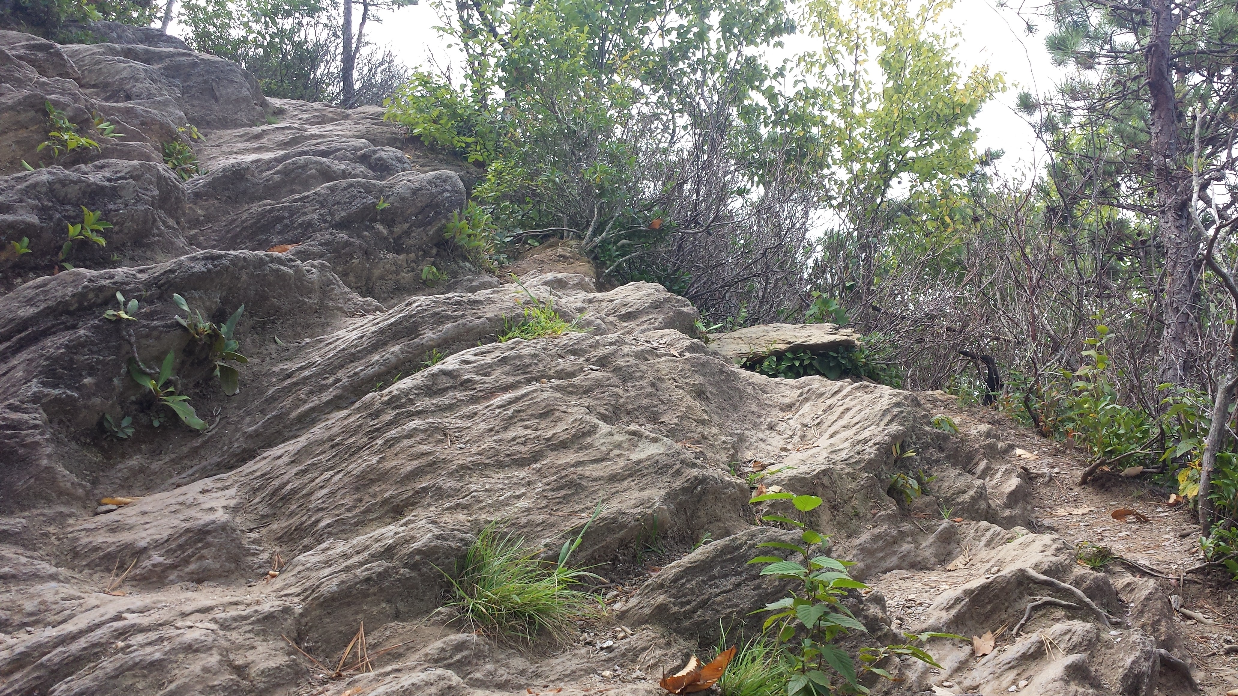
At the top of the last stairs is a large rock. The first time you see it you will likely be nervous, feeling that you will drop off the right side, so you tend to feel you want to stick to the left. I felt this way especially with my kids. However, its actually easier to stay the right. Stepping is flatter and easier, and there are so many trees on the right that you are very safe. The left has bad stepping and is actually harder.
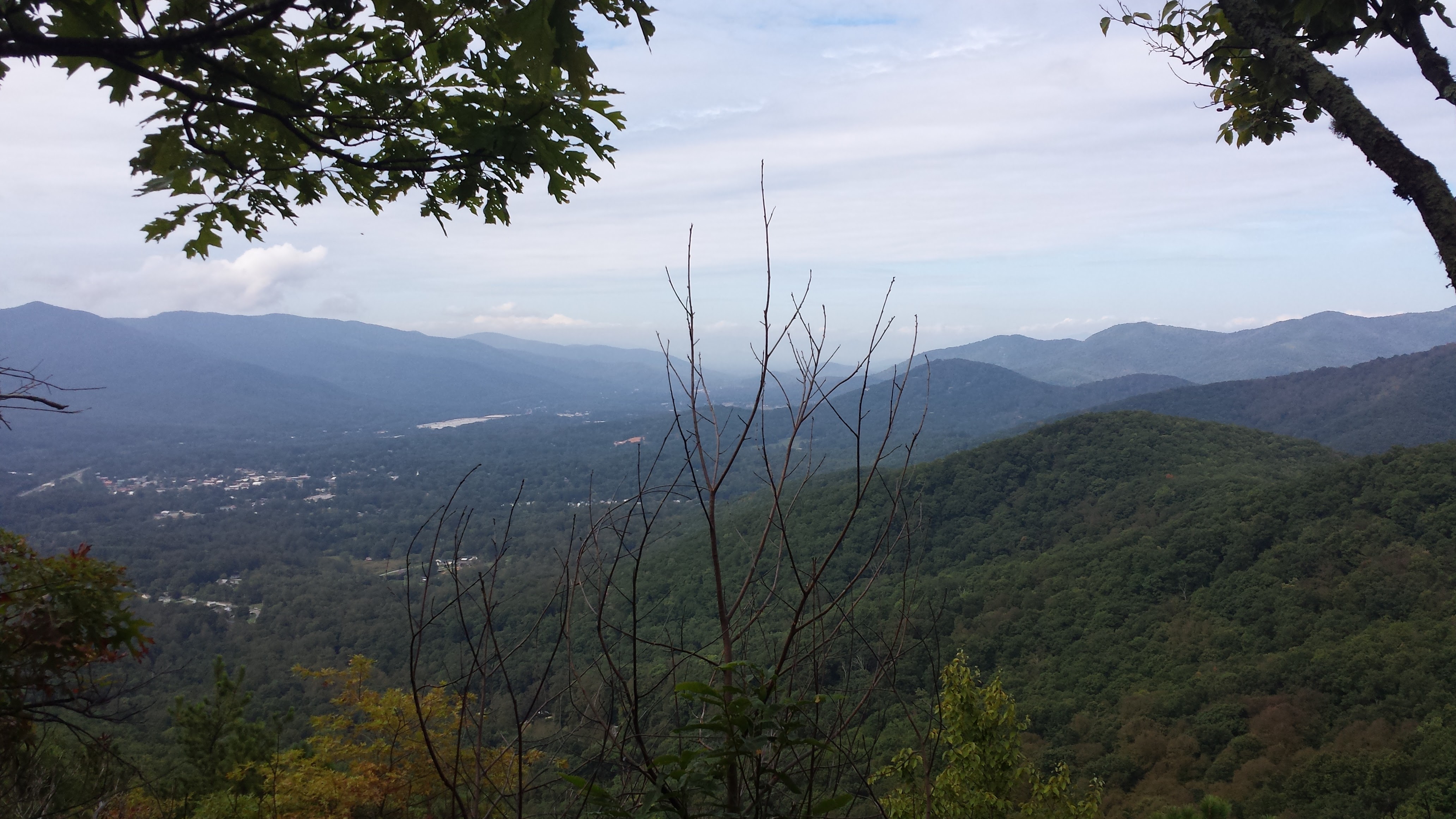
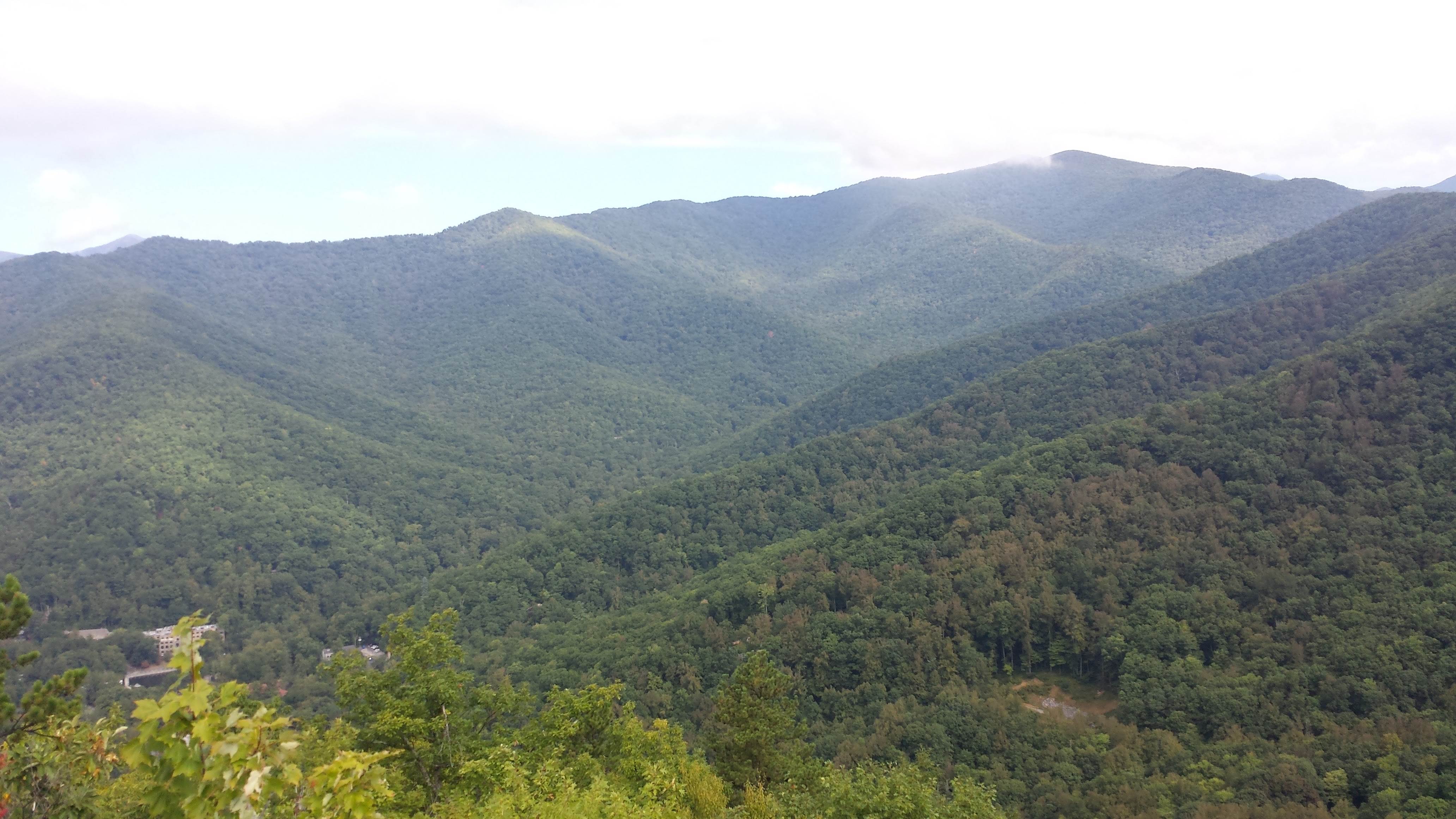
 After you pass the big rock, there will be views over Black Mountain and to the West. Great opportunity for pictures here! You will still have a little more to climb to reach the lookout though.
 After you pass the lookouts, there is still a little more of a climb…
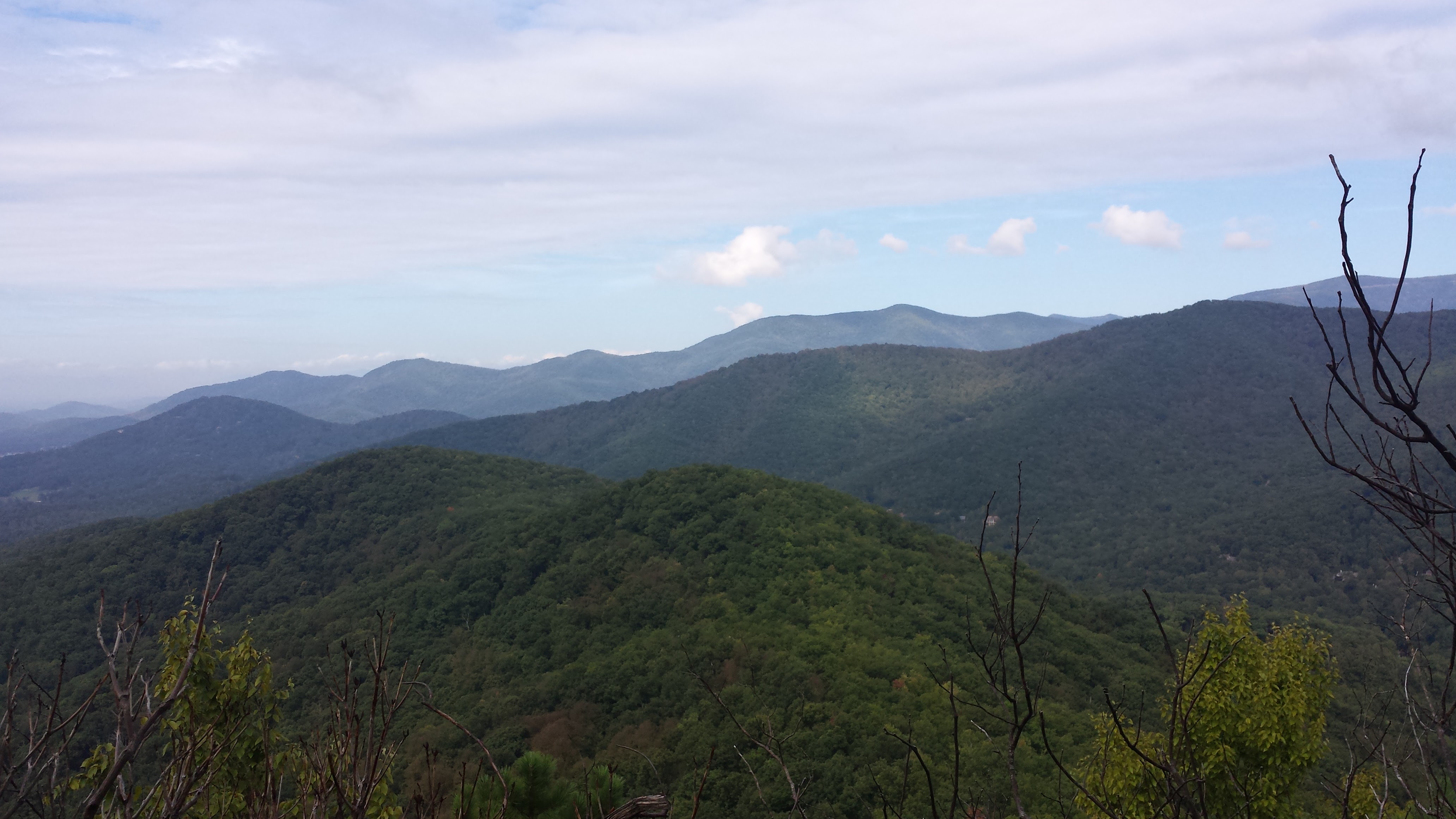
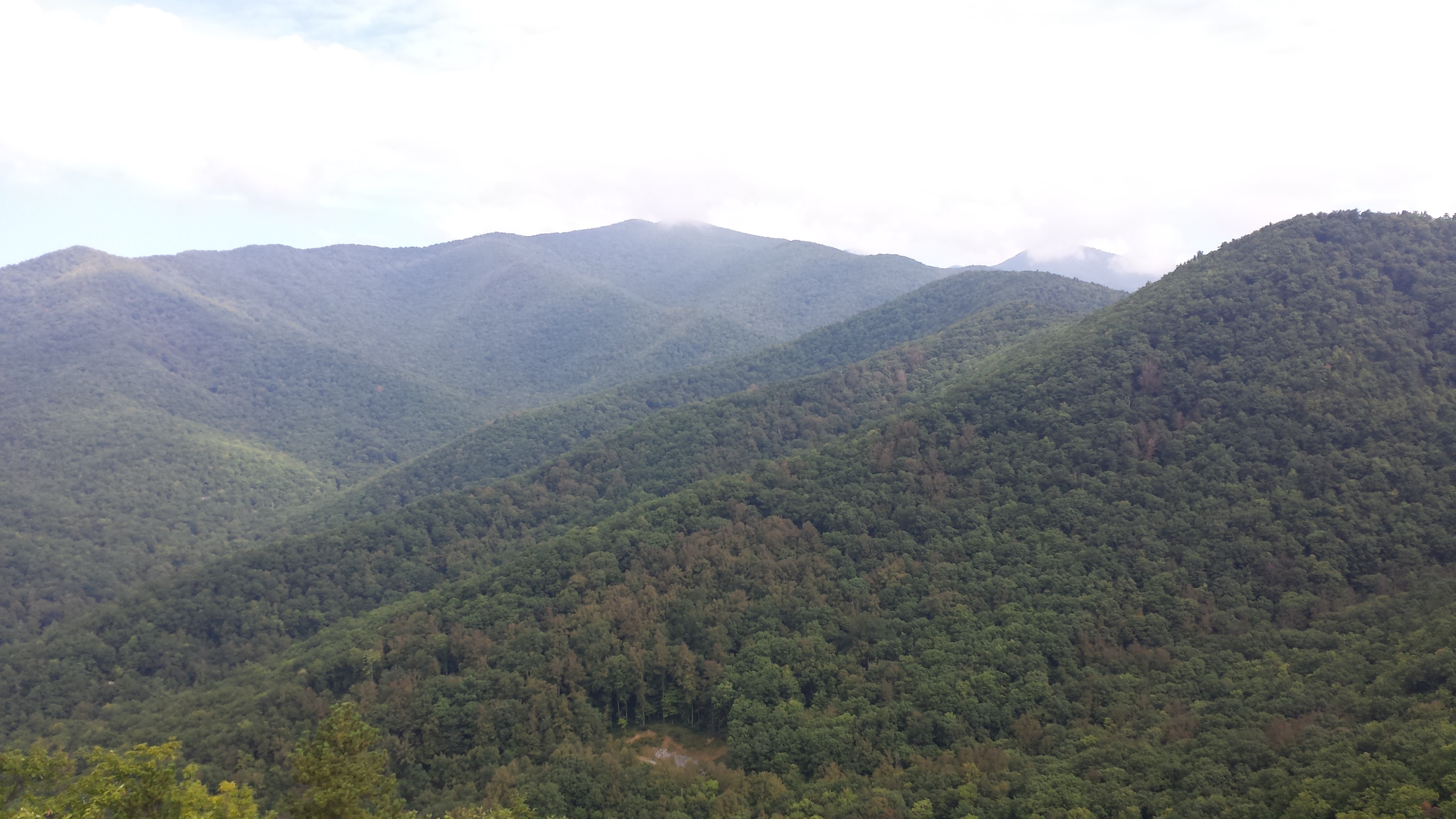
 Then you will turn a corner and the big rock that overlooks Montreat’s valley will be there! This is the popular stopping point for most people. However, it is not the summit. If you head on another 1/4 mile past this rock, you will reach the summit, however it is anti-climactic, but to say it’s been done.
This is a gorgeous hike in the Fall when the leaves are changing as well. I can’t seem to find photos from that…
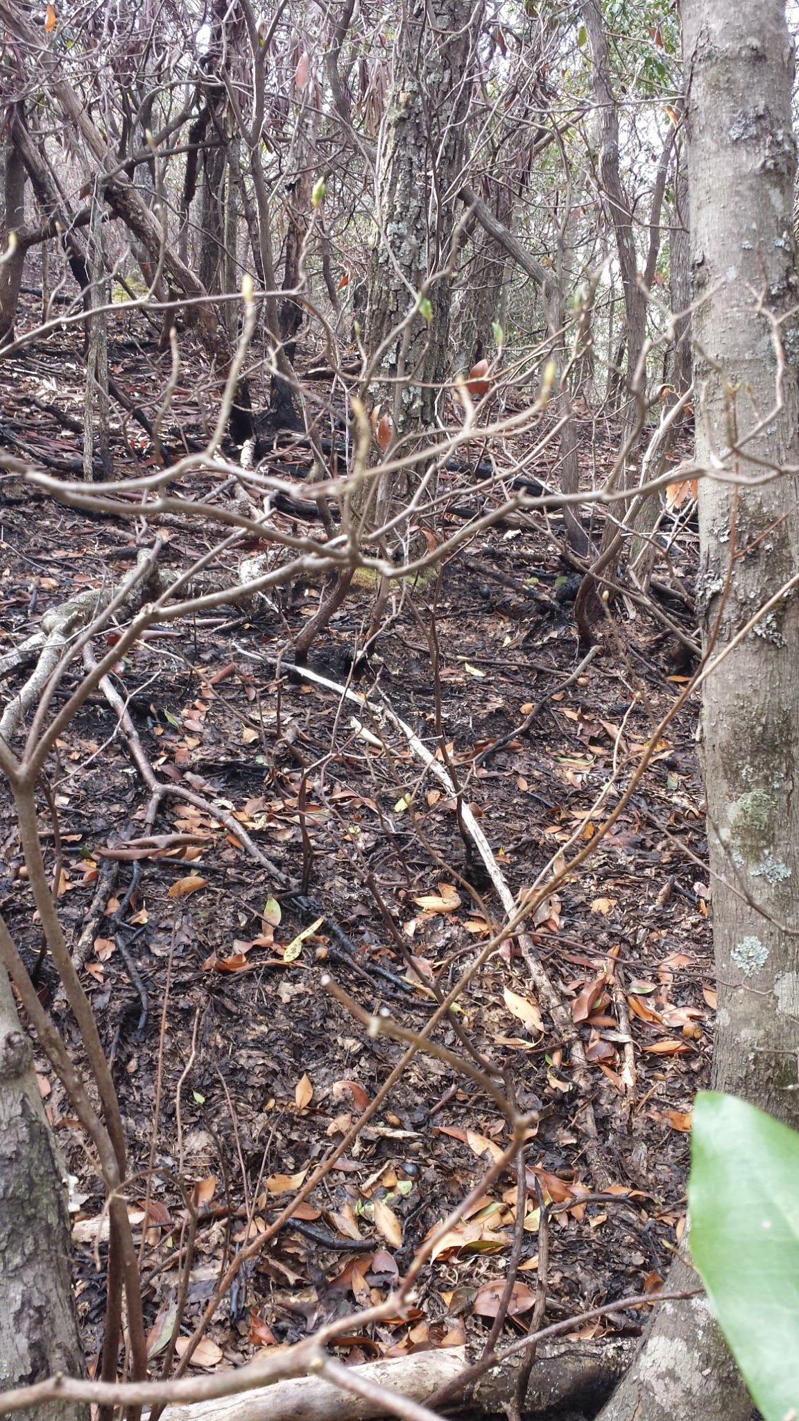
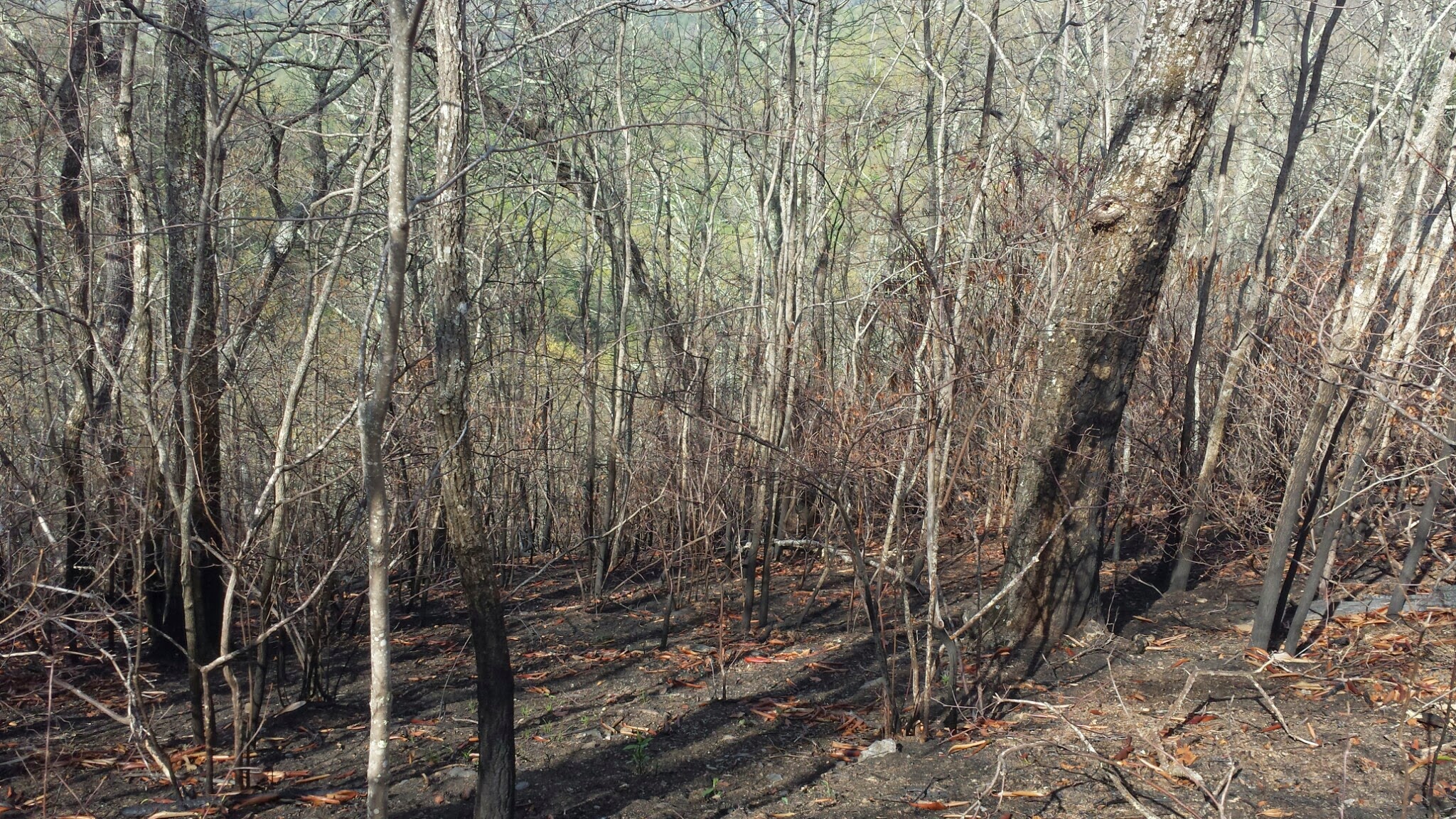
This mountain was also affected by the fire up Rattlesnake Mountain in March/April 2015.
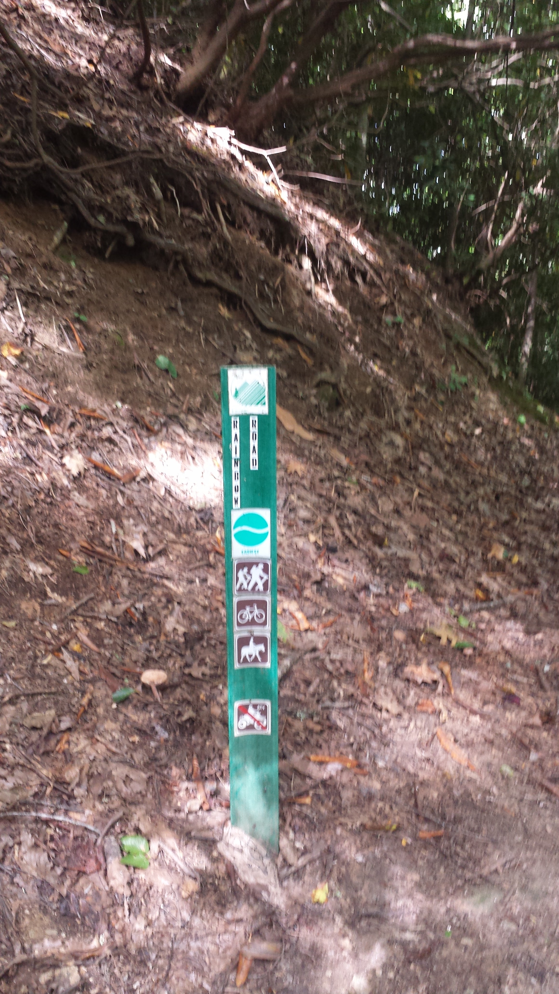
An alternate route you can take is starting from the same parking area, however starting at the lower parking area, there is the start to Rainbow Road. This is a very easy trail that has slight inclines, but is a flatter course. It, however, is 1.84 miles from the start to the end of the trail, where it meets the Old Toll Road and the Old Trestle Road. At this point you can choose to turn around and venture back the 1.84 miles, or stay to the left at the junctures until you reach the mid-way point of the Lookout trail and head down the .38m steep downhill to your car.