We set out to bike the Virginia Creeper Trail today out of Abingdon, VA. This nationally known trail has been on my radar for a while. It’s 2 hours from home, so making the trip needed to be worth it.
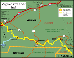
Researching prior to the trip, everyone and most accounts talked about starting at WhiteTop and riding down 17 miles with a 1600ft decline in elevation to Damascus or even 34m to Abingdon. To do this, most people pay what looks to be a $15 per person fee to have them and their bikes shuttled to the top. This appears to be the most popular option, as you spend more time enjoying the views on a coasting bike adventure (at least until you get to Damascus, where the elevation change evens out and you do have to work at it more). Here and Here and Here are some links to great info and blogs on this, as this is not what we did, so I can’t attest to any of it.
Thinking through cost, our 2 boys with us, time of day we left (left Asheville 11:45am), we chose an option of starting at the bottom, riding up to a halfway point (halfway to dark/sunset in other words) and then turning around. We thought this would be the best way to ensure a good work out as well ;). We weren’t sure how far we’d get, or how strenuous this would be. I could not find as many blog or informational posts about this option.
As I put this in my maps app, I chose, what I thought was Abingdon starting point at the bottom of the trail. Well, turns out we sent ourselves to the Alvarado station which is approximately the halfway (8.4m) point between Abingdon and Damascus. That’s ok. ‘We’ll figure it out’. Looking at the map and asking 2 passers-bys, we decided going to Abingdon and back versus to Damascus and back would be the better option. The decision was made on the # of trestles we’d cross (12 to Abingdon, 8 to Damascus). Either direction would end us on a slight uphill to the location, then slight downhill back to Alvarado, making the 2nd half easier no matter what.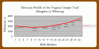
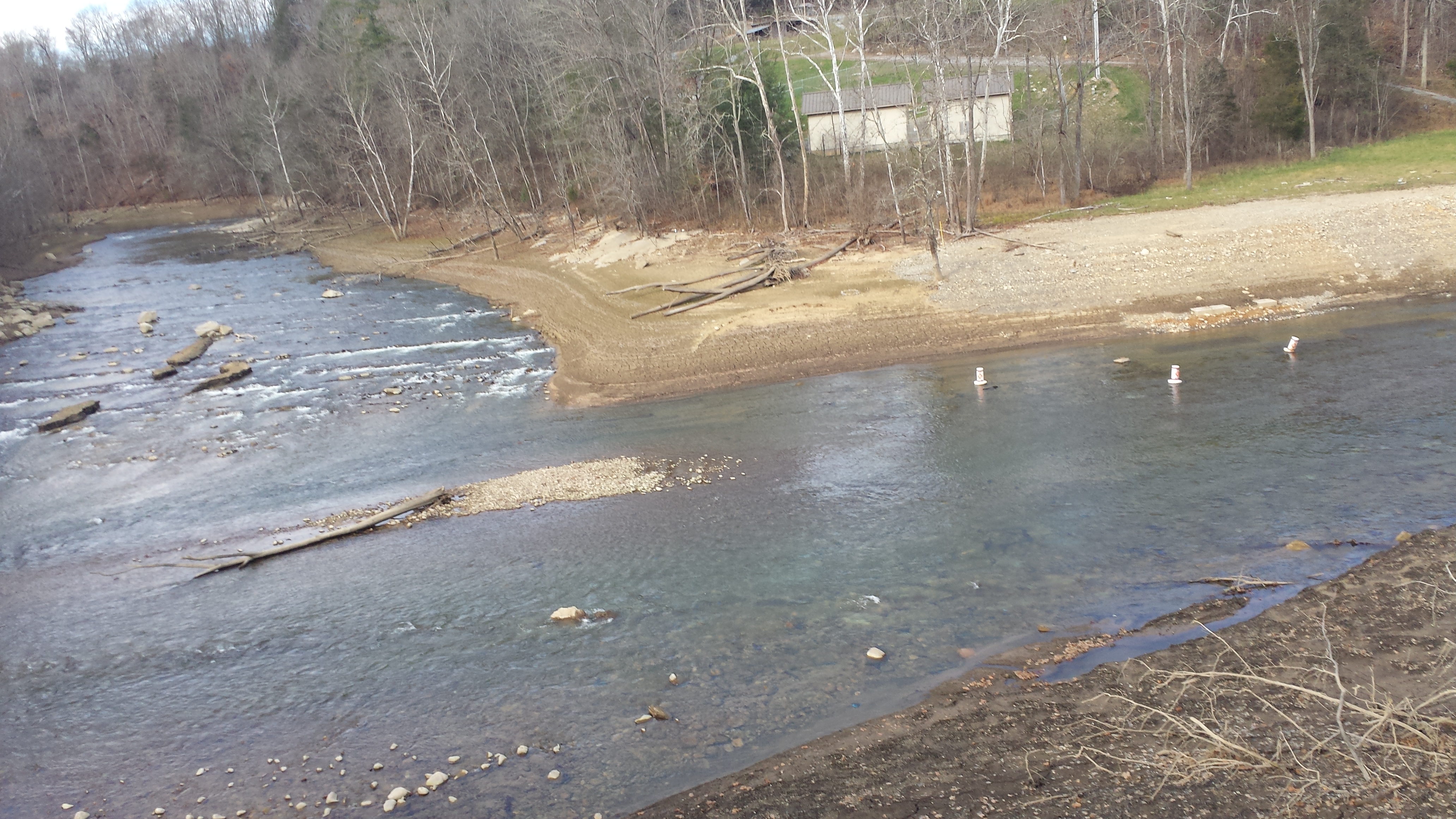
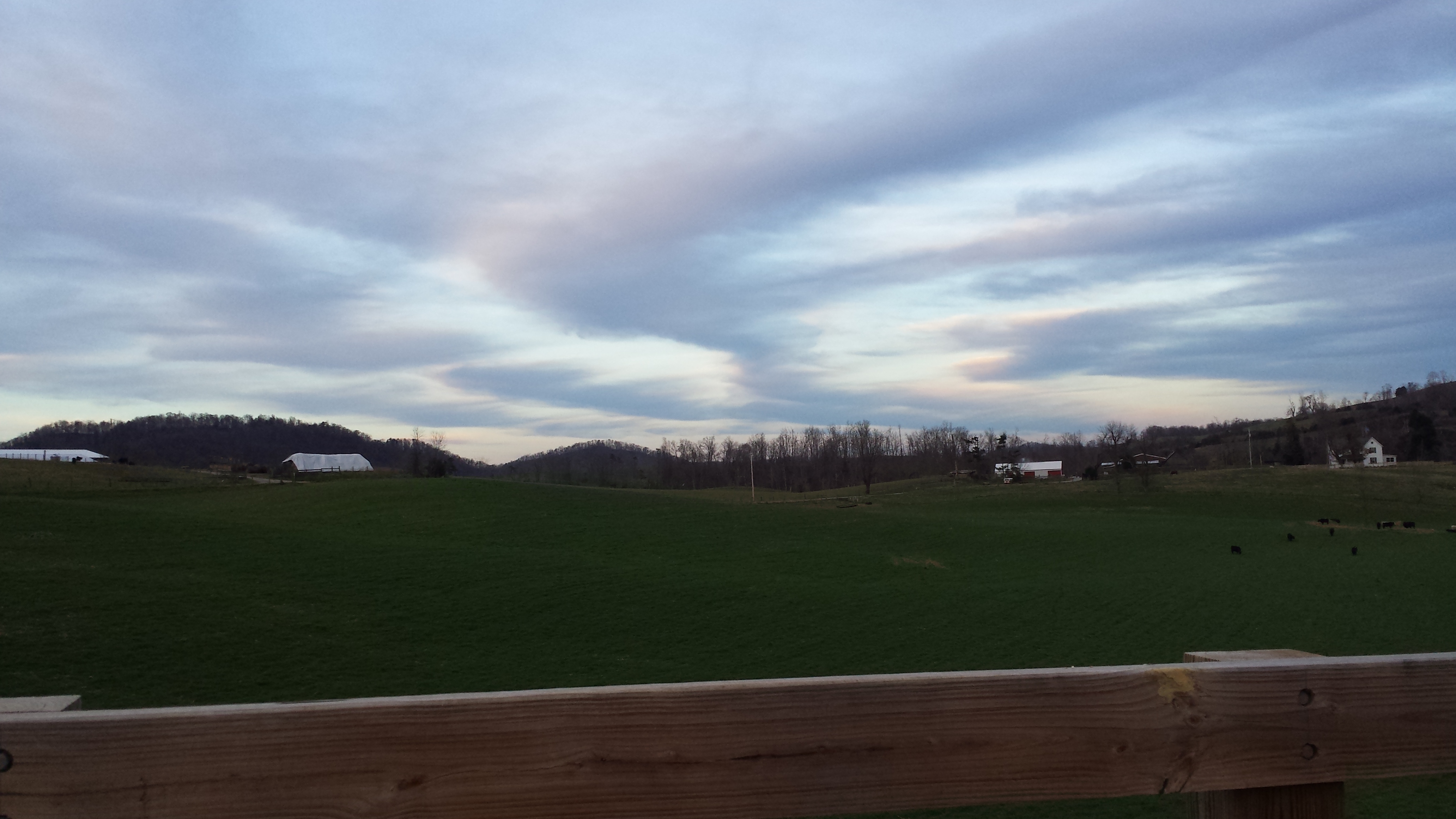
Our trip started right at 2pm. 4 of us on bikes. Flat (bare incline) easy trail through the woods. Holston River on our right. The ride at first was more open, then deepens into the woods, continuing with the river to the right and rock outcroppings and hillside to the left. Slowly we would get higher above the river.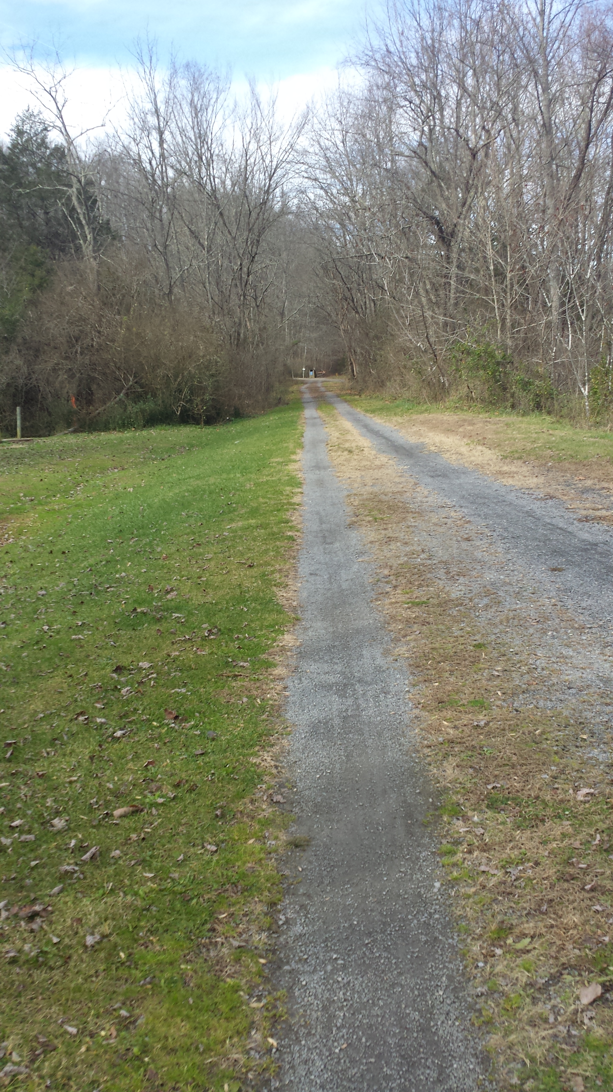

 The first trestle (wooden bridge) you come to is labeled #12. It is long and crosses over the convergence of the south and middle forks of the Holston river. Each trestle is numbered. #1 is in Abingdon. #47 is just below Whitetop at the NC state Line. Linked is an interesting informational on the trestles.
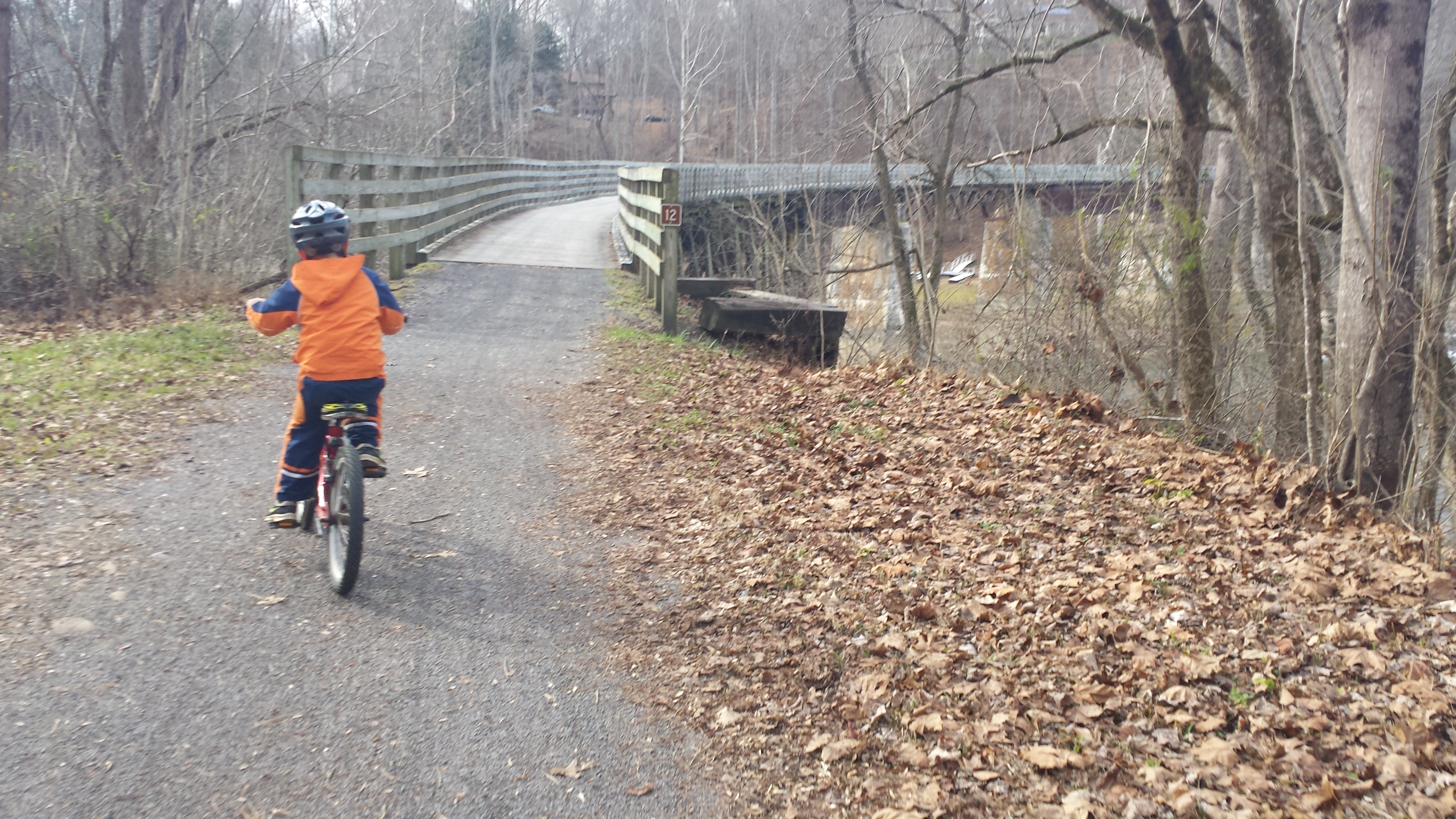
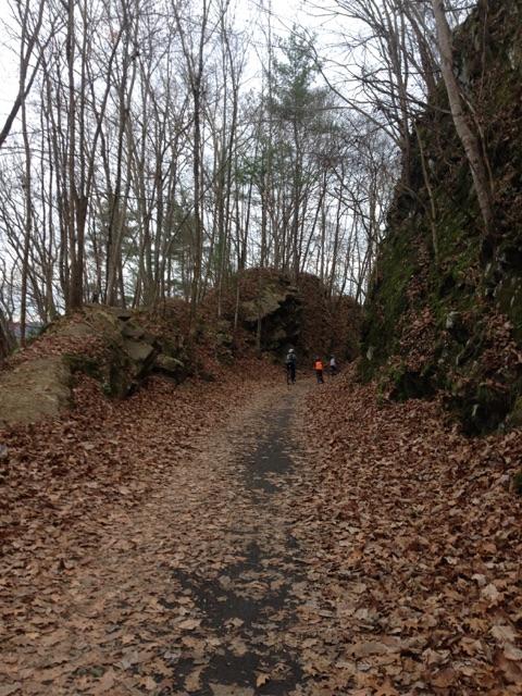
The first 2.5 miles are like this. You come to some gates that you must open on the trail to cross. These are easy to open. There are around 4-5 gates. You will pass many ‘private property ‘ signs. However staying on the trail is not a problem.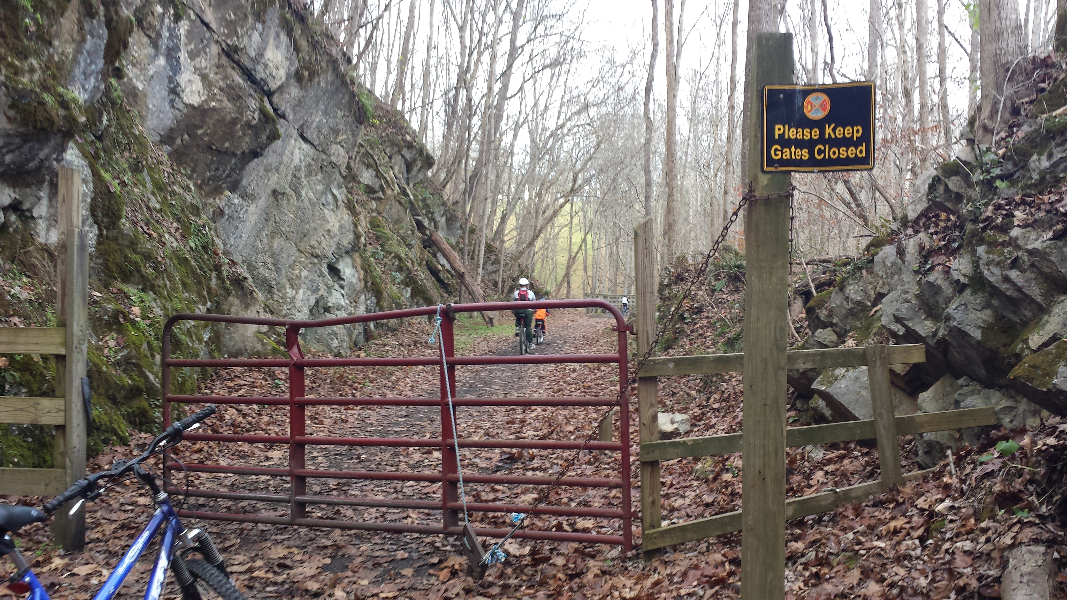

At around mile 3 you ride down and across trestle #7, the longest Trestle, that goes over and through a beautiful pasture and barn. This trestle was more recently rebuilt due to the original being destroyed in a tornado in 2011.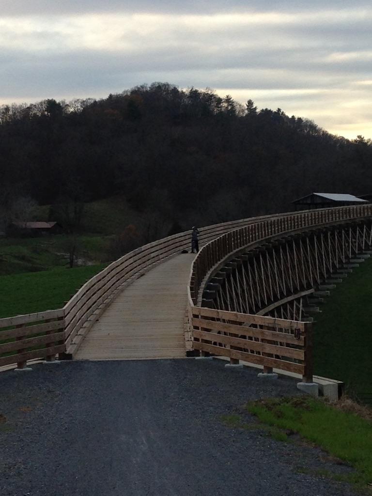
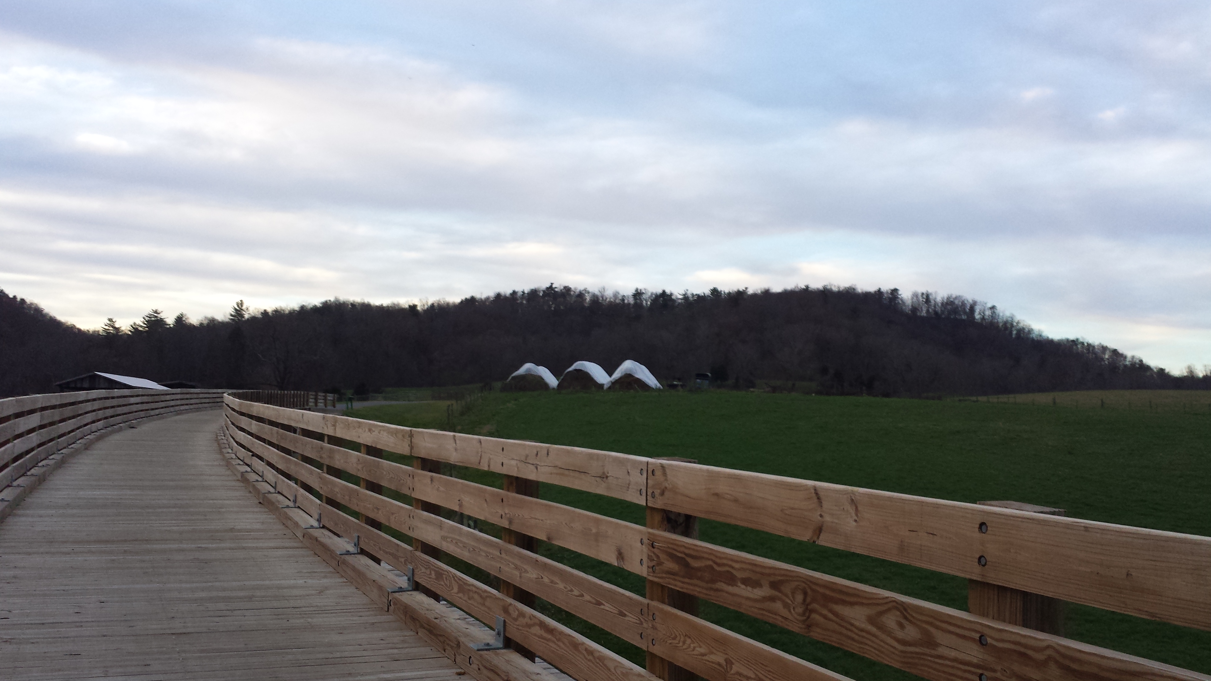
 The ride opens up some with pastures on one side and hills on the other. You’ll eventually come to a road crossing. Be careful here, as every car we saw was flying. It’s not a busy road, but traffic was present. There’s a parking lot, 911 phone, and port-a-potty here as well. I believe this is #7 on the map above.
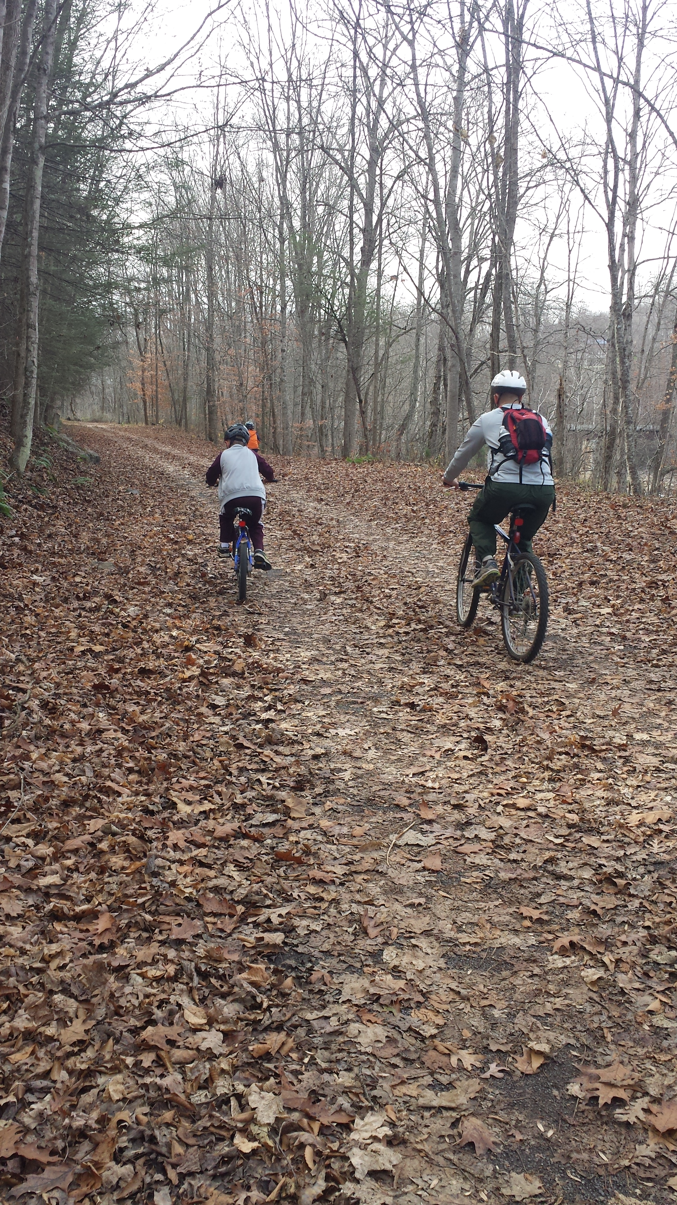
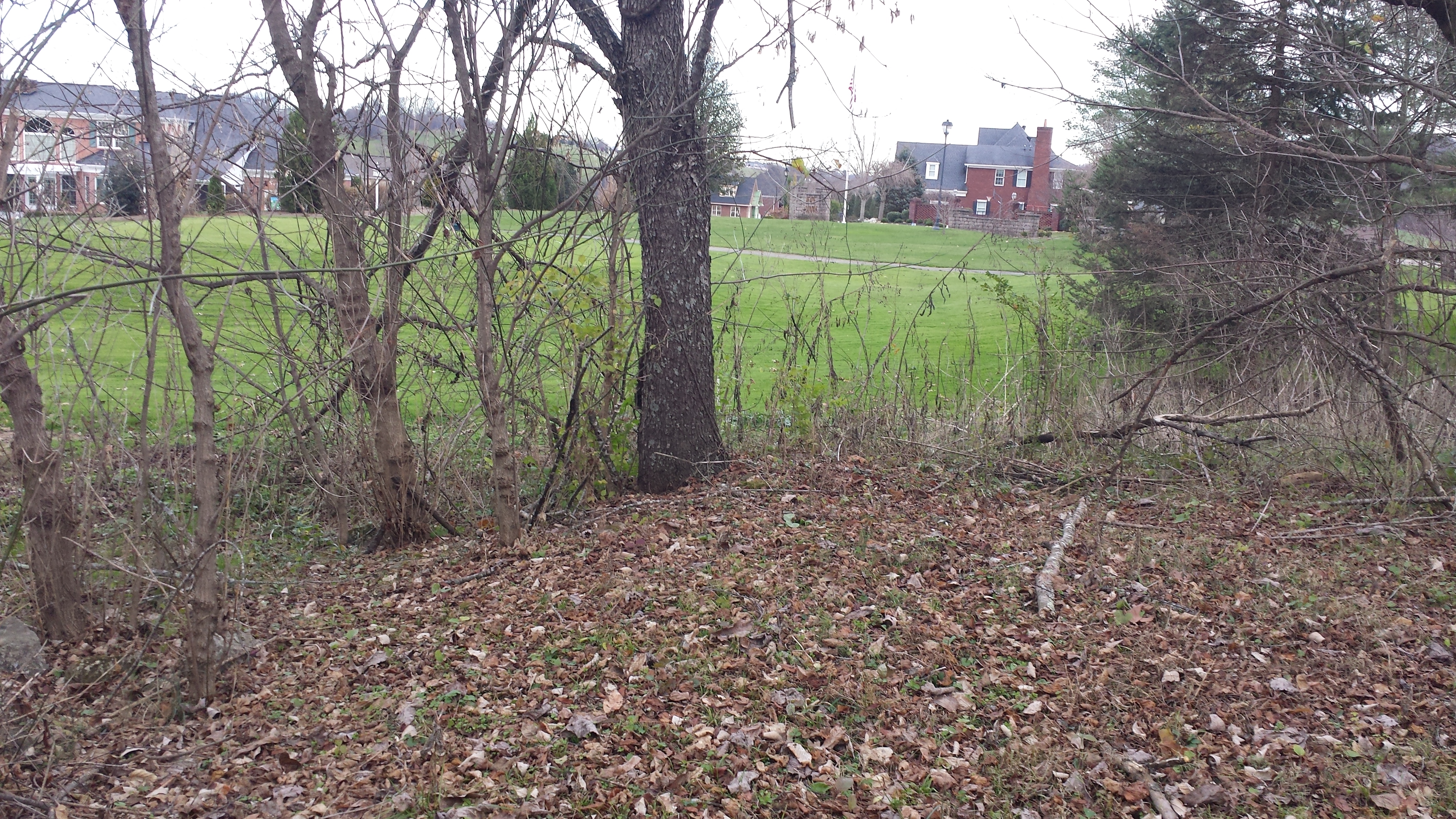
Continue on, as there is a break in the incline, and you’ll find yourself resting your legs for about 1/2 a mile through a decline in elevation. However it does go back to the old normal. You briefly ride past homes and life before you head back into the woods again. This time more tree covered, deeper revene on the right to a skinnier creek with rock faces on the left for a mile until you move closer to Abingdon. We rode literally through a golf course as we were around 2 miles from the end. Very open and beautiful houses on the course. There’s a cute stoplight for the golf carts crossing the trail. 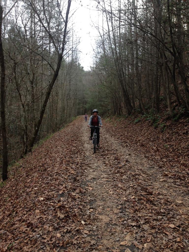

 You’ll notice as you get within 3 miles of the end of the trail, more locals are out walking dogs and running. We followed the trail all the way til the end. There was a bathroom to use and the final trestle that led to the end of the trail. There was a big Train Engine on display, as this trail’s history goes back to it being a railroad track initially.
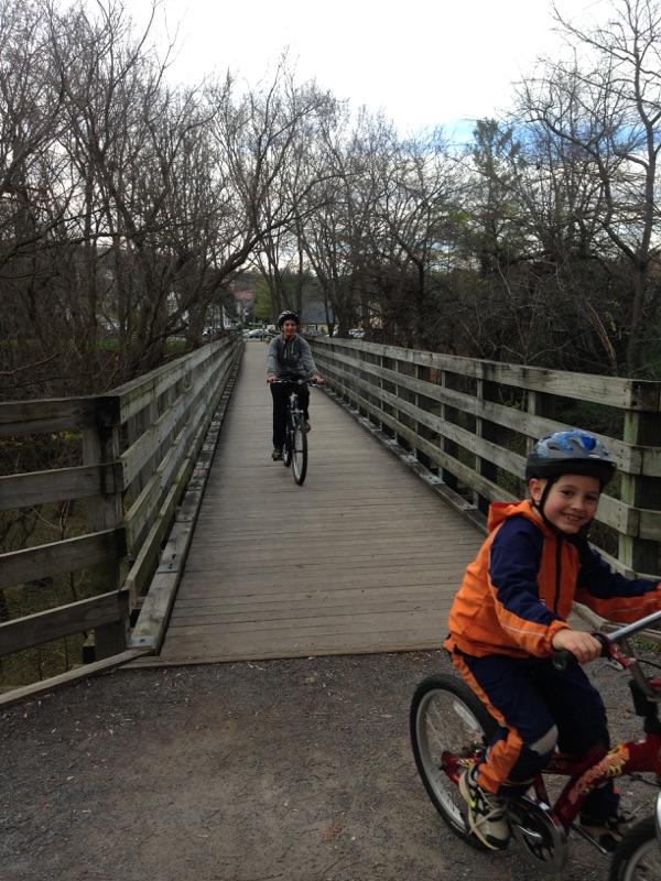
It took us 2 hours to make the slight incline from Avarado to Abingdon with our pokey boys who needed many water breaks. The trip back to Alvarado to the car took 1.5 hours. Most of it was the downhill and we were racing the sunset. Do keep an eye out for wildlife, as on the way to Abingdon, we saw some deer on a hill, however about 1 mile from our car on the way back, we actually ran into a skunk, and slowly followed it at a distance to scare it down the hill at trestle 1. Anything to not get skunked!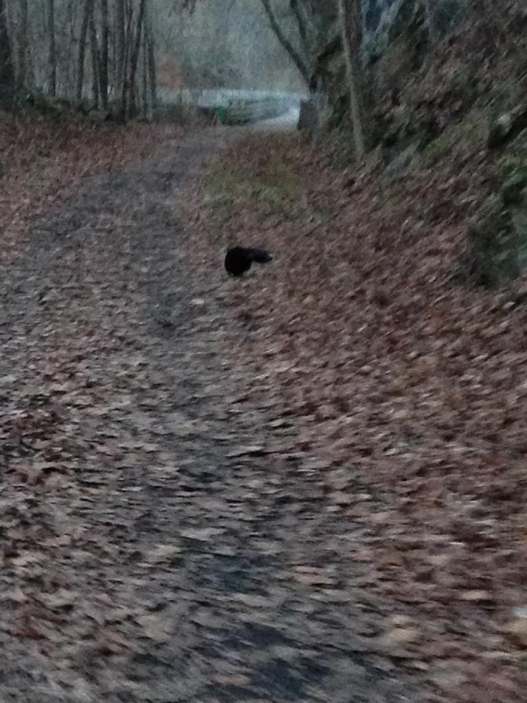 We got to our car just as the light in the sky was gone.
17 miles
3.5 hours
Slight incline to Abingdon, Slight decline back.
Cracker Barrel in Abingdon was amazing after! And our server, Danielle, was great!
