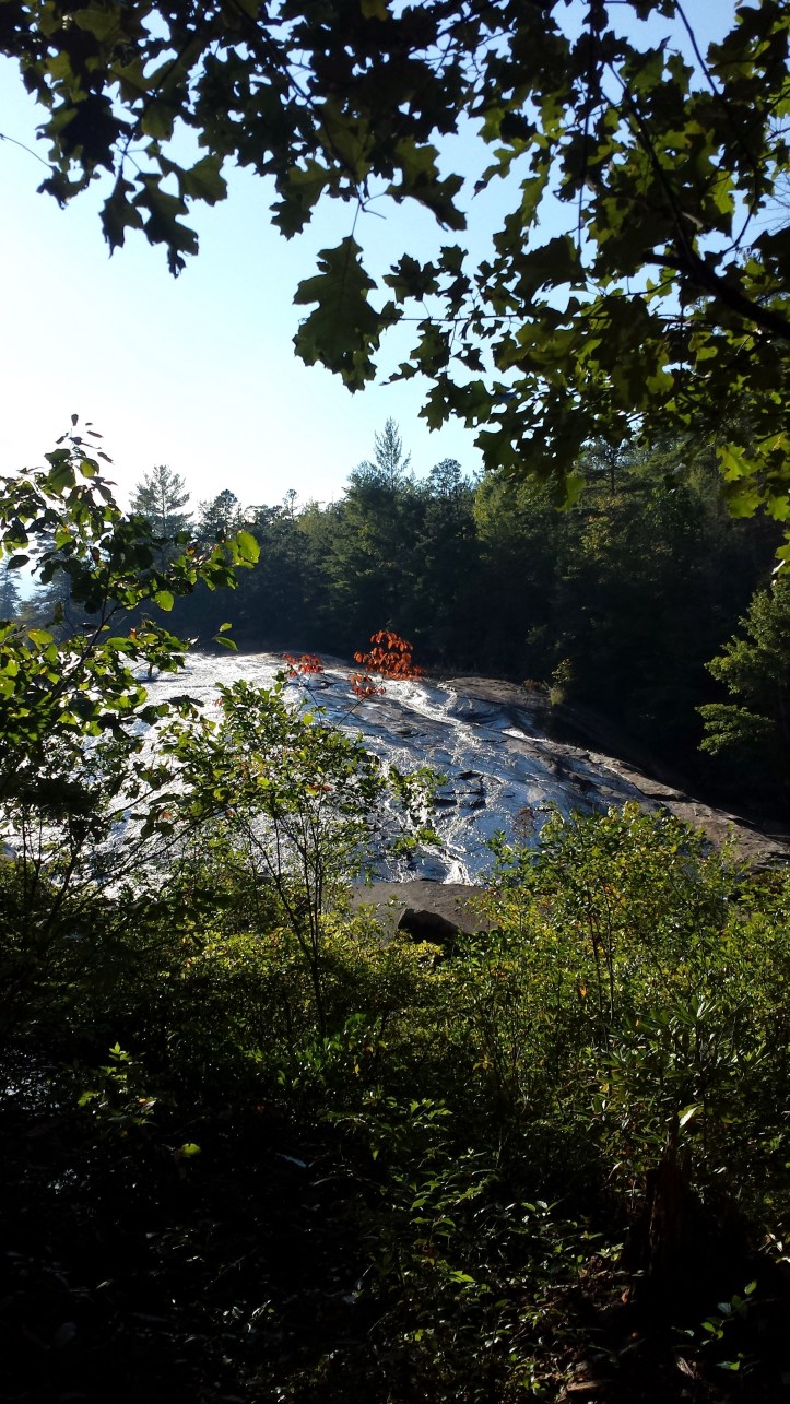
One of the best waterfalls to view at DuPont State Forest is Bridal Veil. On our first visit to DuPont, the lady at the visitor’s center told us that we should make an effort to see this, but it would take extra time in addition to the initial starter trio of falls in my prior post. It has since turned into our favorite falls to view- although the walk to the falls is long and boring on the gravel and dirt roads that are wide enough for vehicles and few scenic views along the way. However, once you reach the falls, you can edge over to the left side and hop down onto the dry rock that the falls descend and walk all the way up to the top, walk under the falls at the top, as well as go above those and get a gorgeous scenic view. Several movies were filmed here, including Last of the Mohicans.
**Disclaimers about climbing the rock- walk only on obviously dry rock. Any wet rock will usually be slick here.
**If there has been a lot of rain, there may be no dry rock that make climbing this safe.
**As well, be cautious in the winter months- any wet area can be a slick area- it would be easy to fall.
So historically we usually do one or the other as it is a 4 mile round trip hike to Bridal Veil from the Visitor’s Center or from Fawn Lake’s entrance.


Here is an official Trailmap for DuPont.
What to pack in your bag? Sandals or flip flops that can get wet, small towel (to dry your feet before putting your shoes back on), snacks, water, or anything else you may need if you were in the woods for 2 hours. There are no trash cans, vending machines, and nor water fountains on these hikes.
Also, a cell phone charger. In many parts of this hike, your cell battery will be drained due to trying to find signal while you are there. You may lose signal entirely, so if your group separates, make sure you know the plan because you may not be able to reach each other again (yes- this has happened to us on multiple occasions leading to either sitting and waiting for group members that you have no idea if they are coming… or walking aimlessly looking for each other)
You can sneakily add in additional falls if you are up for the additional mileage. Starting with High Falls… or drop by Hooker Falls as you are leaving the park.
Generally our hike to Bridal veil starts at the Visitor’s Center of DuPont State forest and following signs to High Falls. As you get off of the easy gravel trail, you’ll see a sign that points to the right to the Covered Bridge. You’ll go up a hill and then down on the trail to the Covered Bridge.
The covered Bridge crosses the top of High Falls. You will only be able to see the river here and where it drops off from the top, but not the falls themselves. Cross the bridge and you’ll see the road turn to the right. You are on the Conservation Road.
Turn here. It is a long gravely road that walkers, bikers, horseback riders, and State Forest vehicles will travel. You may see any or none of these while on your travels. At this point you’ll be walking at least 1 mile on this road.
The elevation goes up and down. You finally reach the Lake Julia Spillway which you cross the bridge over. There are some pretty small Little Rock falls on the left, just enough for a picture. Perhaps your dog can get some water at this site.

Just past the bridge is a small trail to the left that will lead you to lake Julia. These trails seemed to be a newer find for us these last few trips. Short and to a small beach the kids could play on with shallow water in the lake. If it is a warm day, or the kids are getting antsy, let them stop here and play.

Once you hop back on the trail to Bridal Veil, it is not far, although uphill, to the turn off. You’ll see the sign on the right to Bridal Veil Falls Road. There is a half mile walk down a smaller dirt trail, past the boarding space for horses on the left. As you get closer to the falls you’ll hear the rushing water from the falls. Several trails will come in at this location as you’ll notice signs for the other trails here that travel through the woods.
There is a picture spot on a wooded pier, however continue down the trail to the bottom.
 There are a few small water areas to cross by jumping rocks and a big rock to the left you can jump down. You’ll find that when you return, with a little help, everyone should be able to get back up this rock (our kids and dogs are able with a little push/pull from the adults).
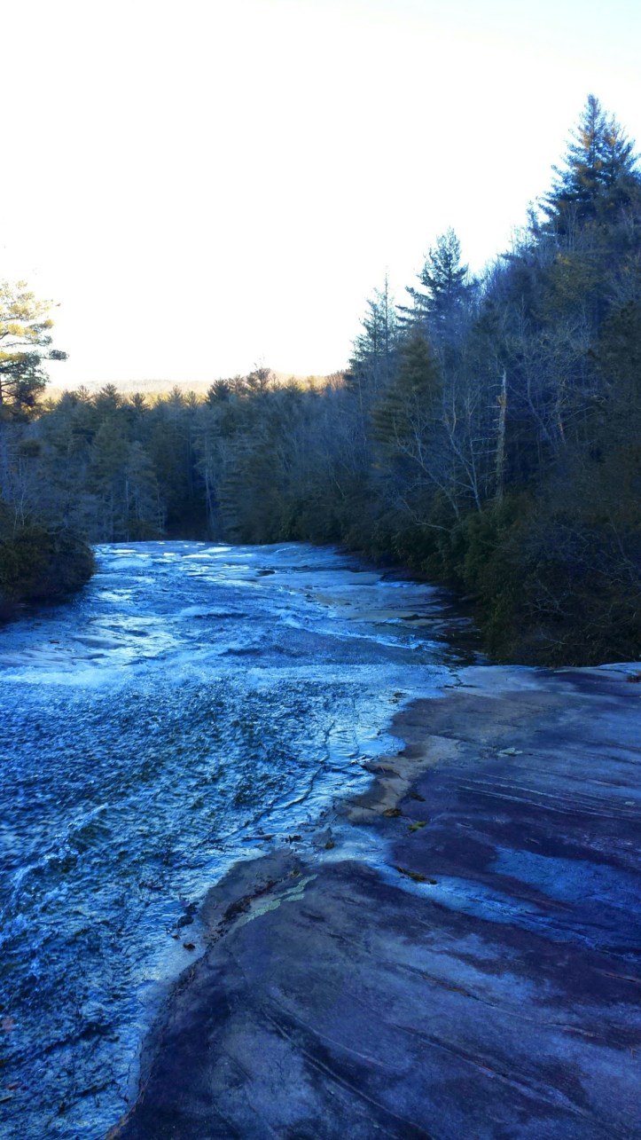
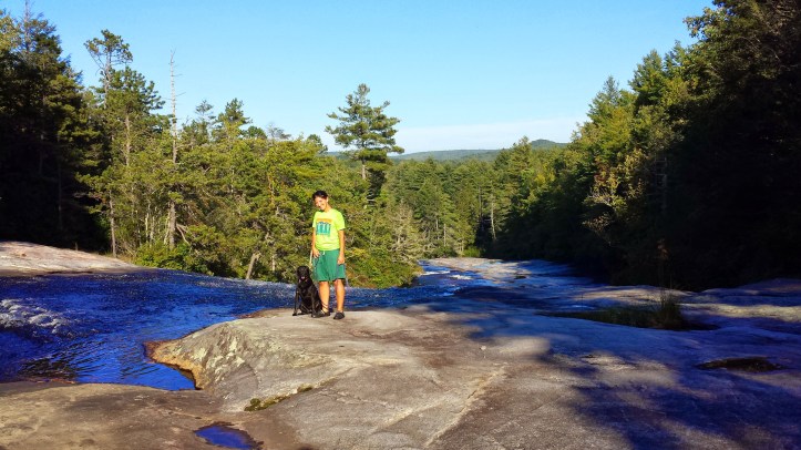
Staying to the far left on dry rock, you can walk alongside the trees beside the waterfall all the way to the top.
There is a small trail to the left that lets you walk through the trees to get to the falls that. You can walk under. I always switch out my shoes at this spot so I don’t get my tennis shoes wet- wearing some sandals or flip flops. It is not a huge space under the falls, but really neat!


After you get your pictures under the falls, head back out the trees and follow the trail that climbs above the falls. Another huge dry area exists above this to safely sit and eat a snack and enjoy the view before you return home.
You will want to return the same way you came.
***
There is a secondary hike to Bridal Veil. Unless you situated a vehicle at both the Fawn Lake entrance and Visitors Center, you’ll need to start and return on your hike the same way.
To get to this entrance, you’ll stay on Staton Road past the visitor’s center until you reach Cascade Lake Road. Take a left on Cascade Lake Road until you reach Reasonover Road. You’ll take a left here and follow until you get to the Fawn Lake Parking area. You’ll drive outside of the State Forest to reach this parking area. There should be some Port-a-potties here, as there are at most parking areas.
The hike starts Fawn Lake Road trail up to Fawn Lake, which is beautiful.


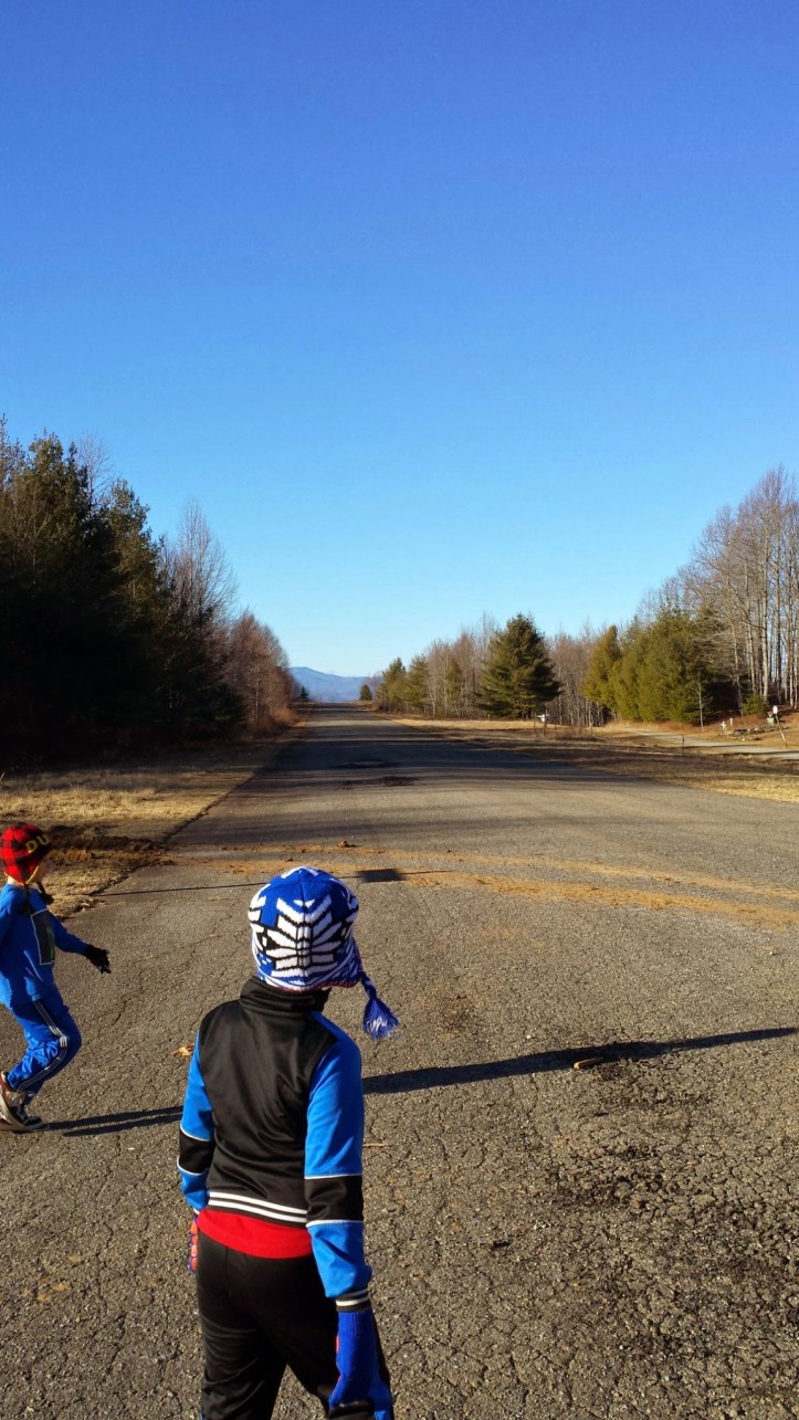
Pass the lake until you reach conservation Road. You’ll stay on Conservation Road until you reach Barn Road (which shortcuts to Bridal Veil Falls Road) on your left. What is neat is that on your way, the trail is more of a dirt trail, and you pass over the old Airstrip as you are following the trail.
Have Fun!

[…] you want to add on more to your day, see the link to Bridal Veil here for an additional 4 mile hike to a gorgeous […]
LikeLike