I recently found an article that boasted the top 10 hikes with a mountaintop view in WNC, and this was one of them that I had, up until today, not tried.
I have also seen many a bride, or other photo opportunities taken at this location.
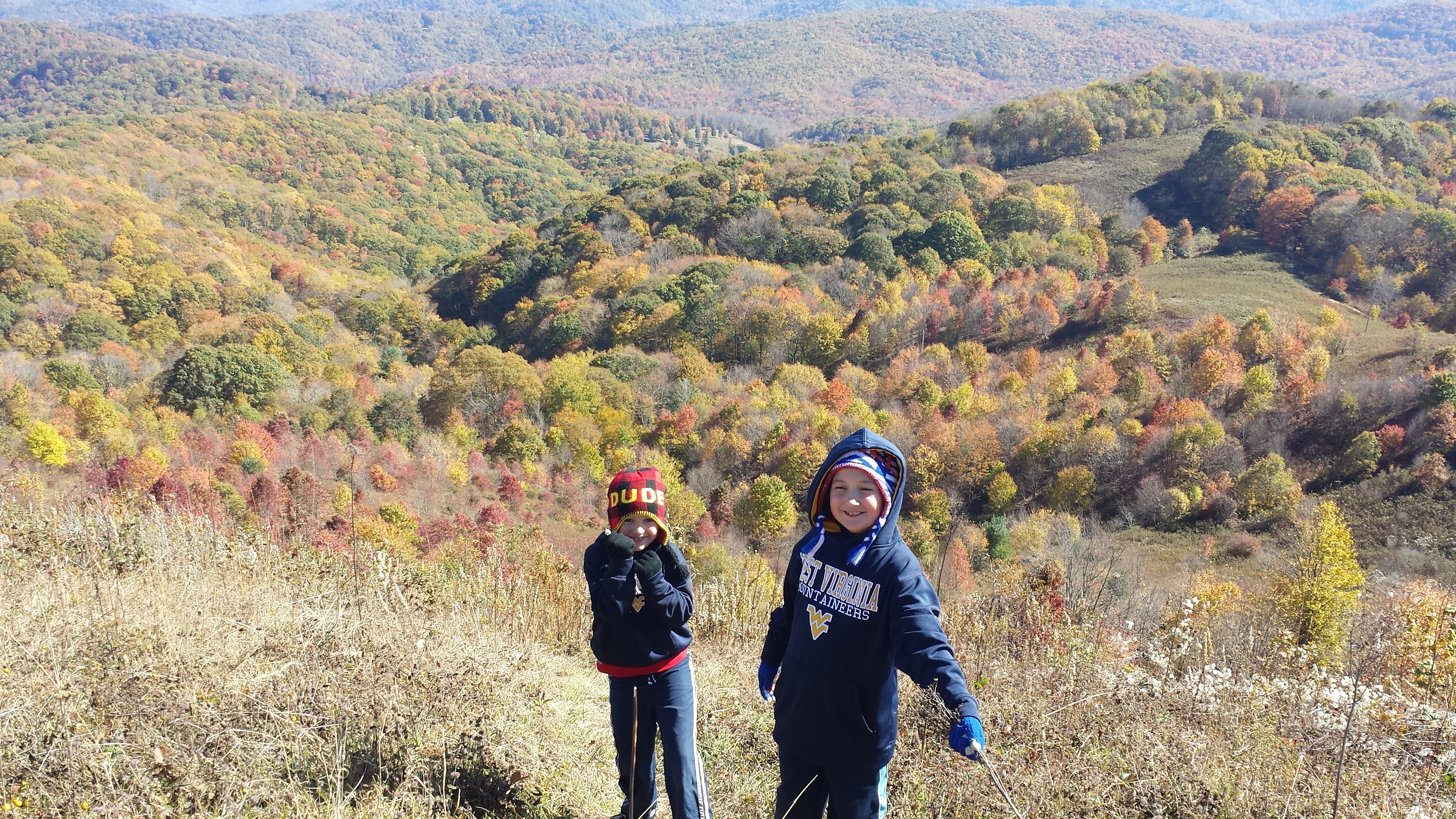
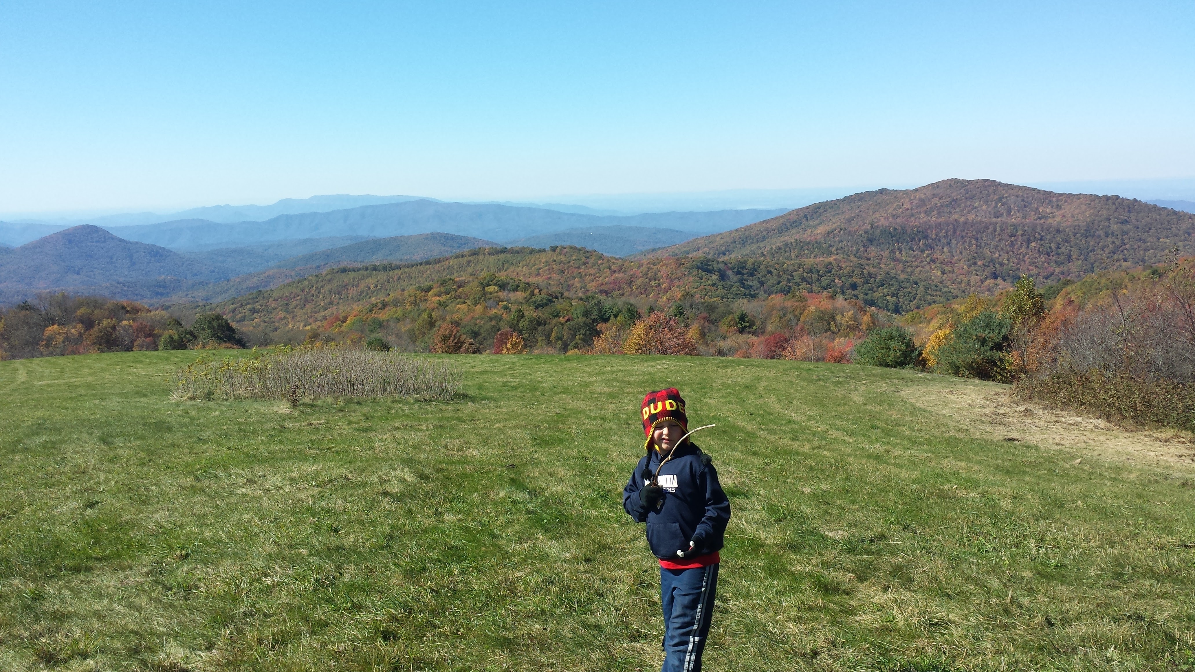
October is one of the most beautiful months in Western North Carolina due to the changing of the leaves and brings many tourists to the area. The Blue Ridge Parkway is one of the most popular locations for travel, however, this hike has to be towards the top of the list.
If you take this one outside of the summer, make sure bring layers, its cold up there!
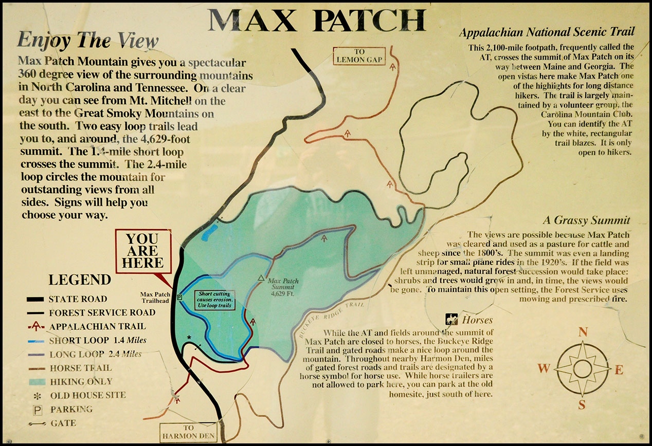
Hike: Max Patch
Location: Off Exit 7 of I-40
Hiking opportunities: 2.4 mile long loop circling the summit or a short 1.4 mile loop that is also part of the long loop (see map below)
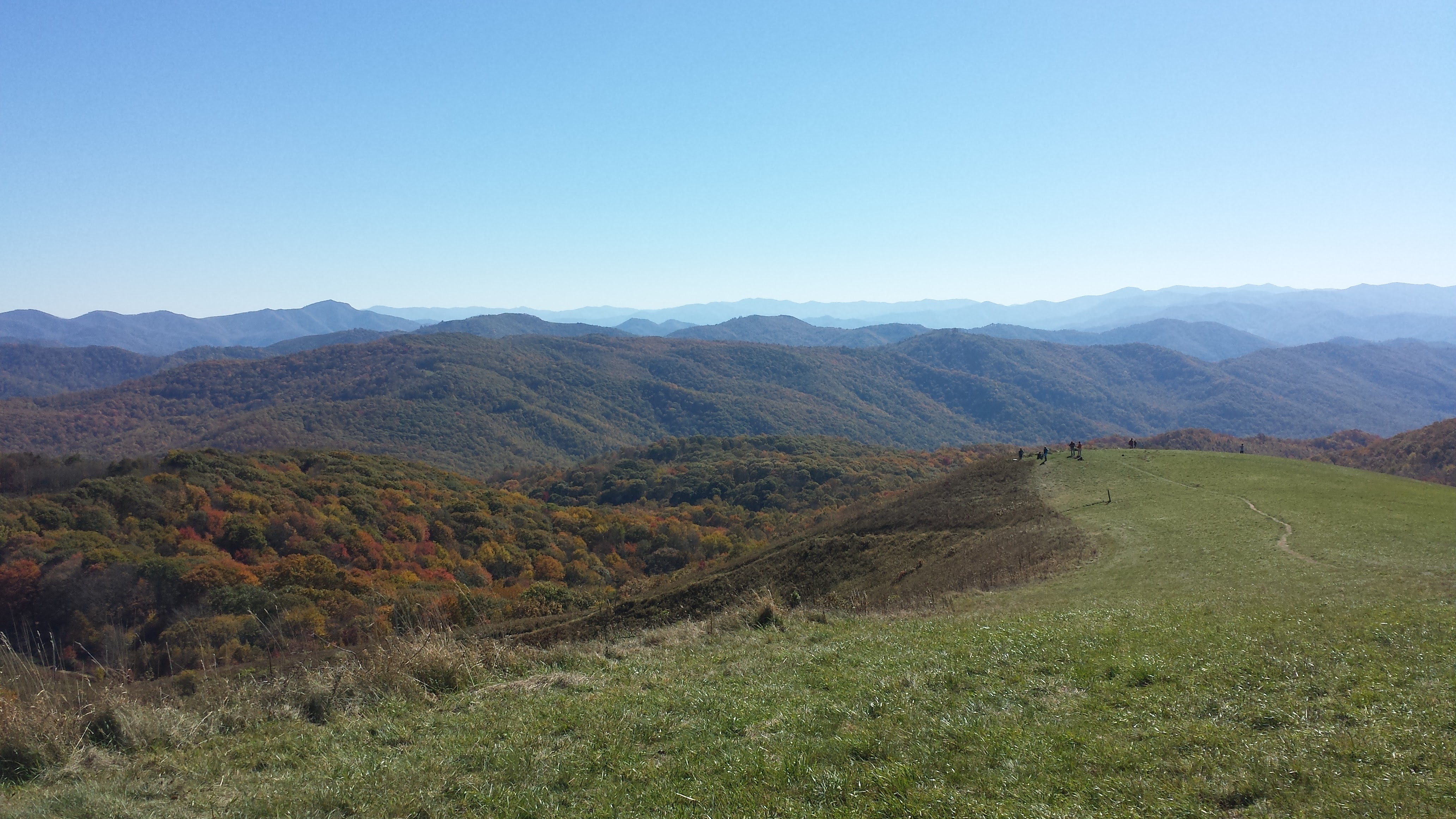
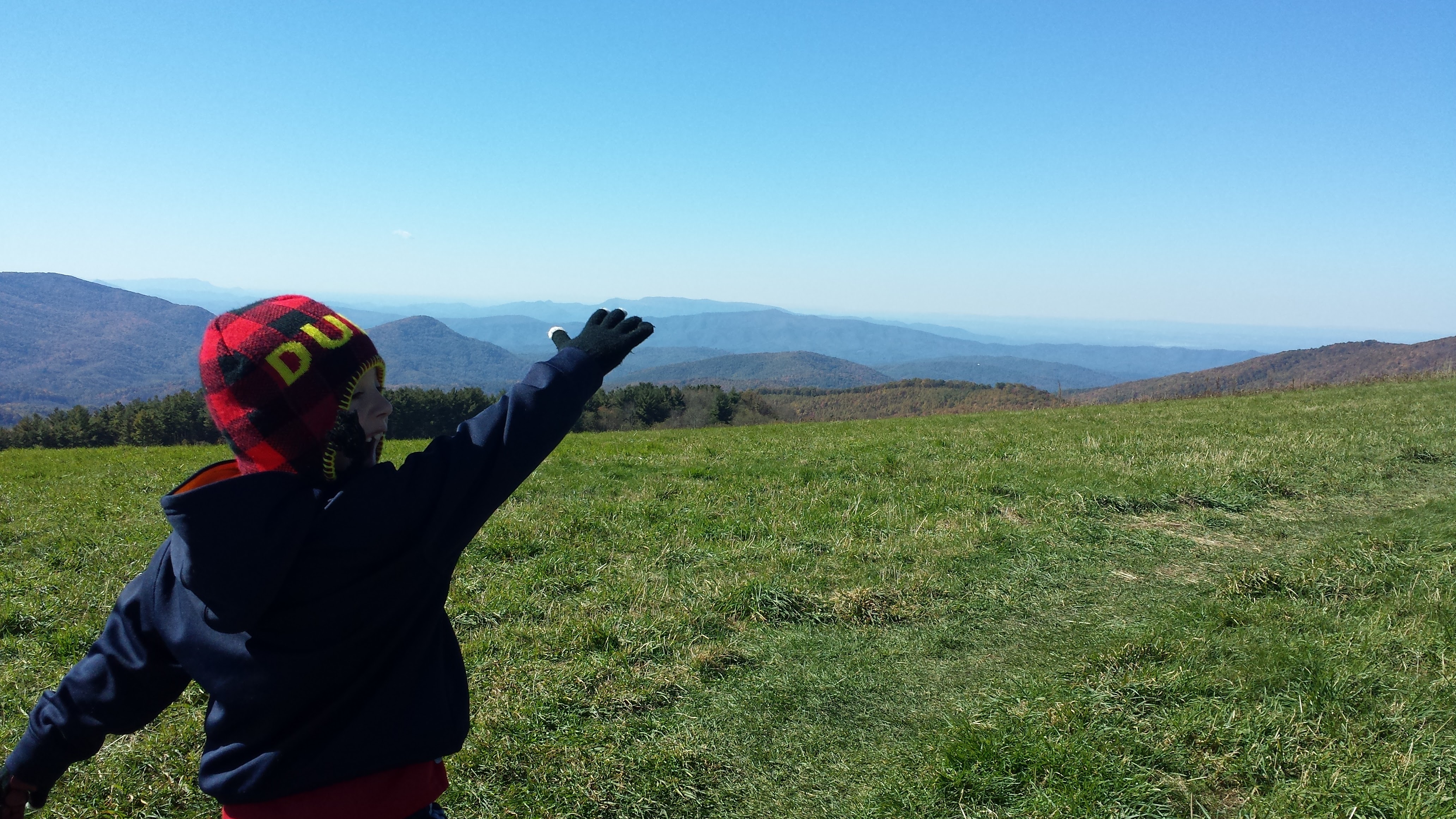
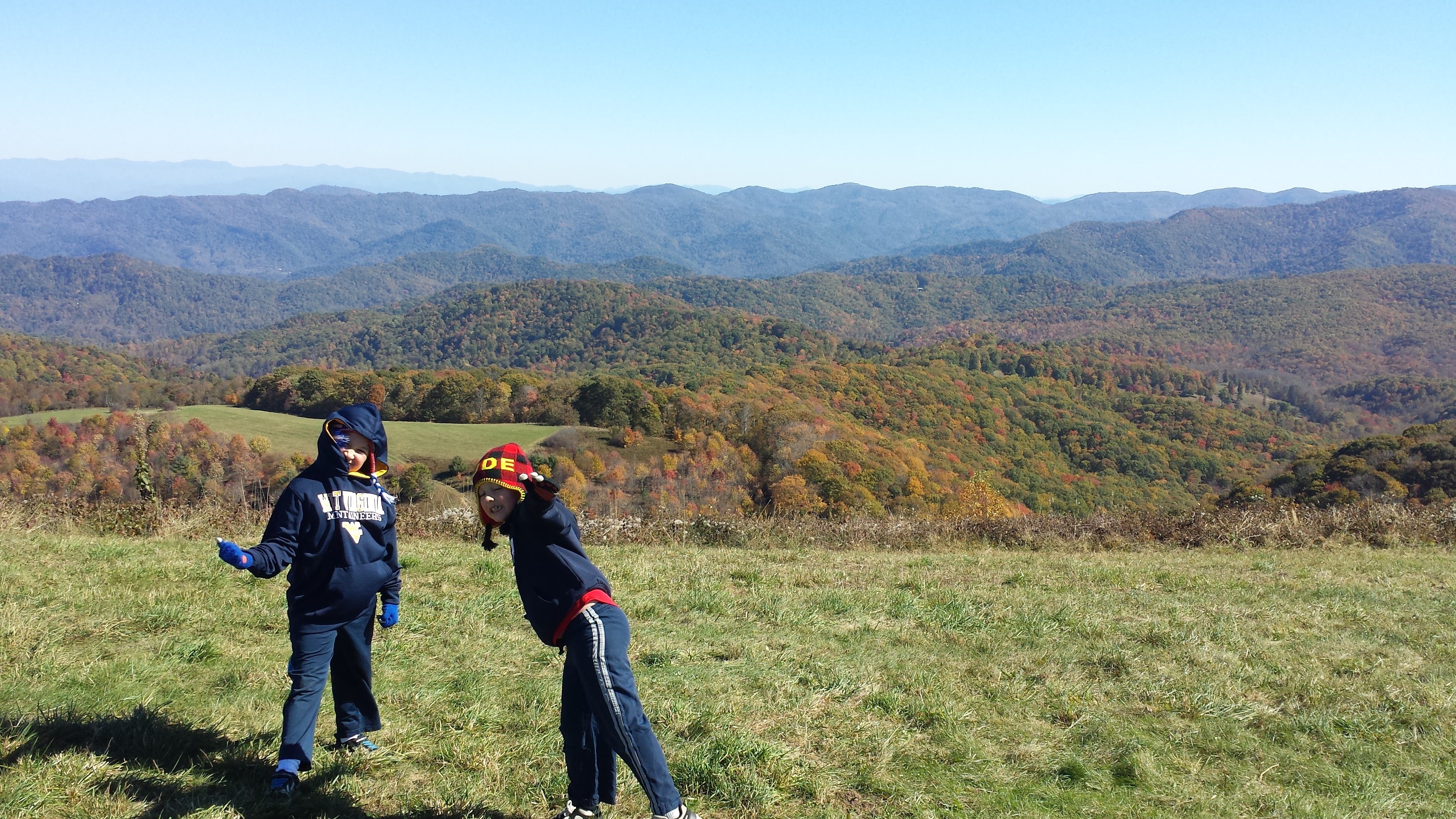
Views: Gorgeous 360 Degrees of mountains and colors
Who can do it: Anyone who can walk 🙂 There was even a lady with a walker on the trail.
Time to arrive: Took me from my house in Black Mountain, NC 1hr 15 minutes. The interstate part was a breeze- about 50 minutes. The 7.7miles to the parking area off the interstate took about 25 minutes.
How to get there:
I-40 West to Exit 7 (Harmon Den)
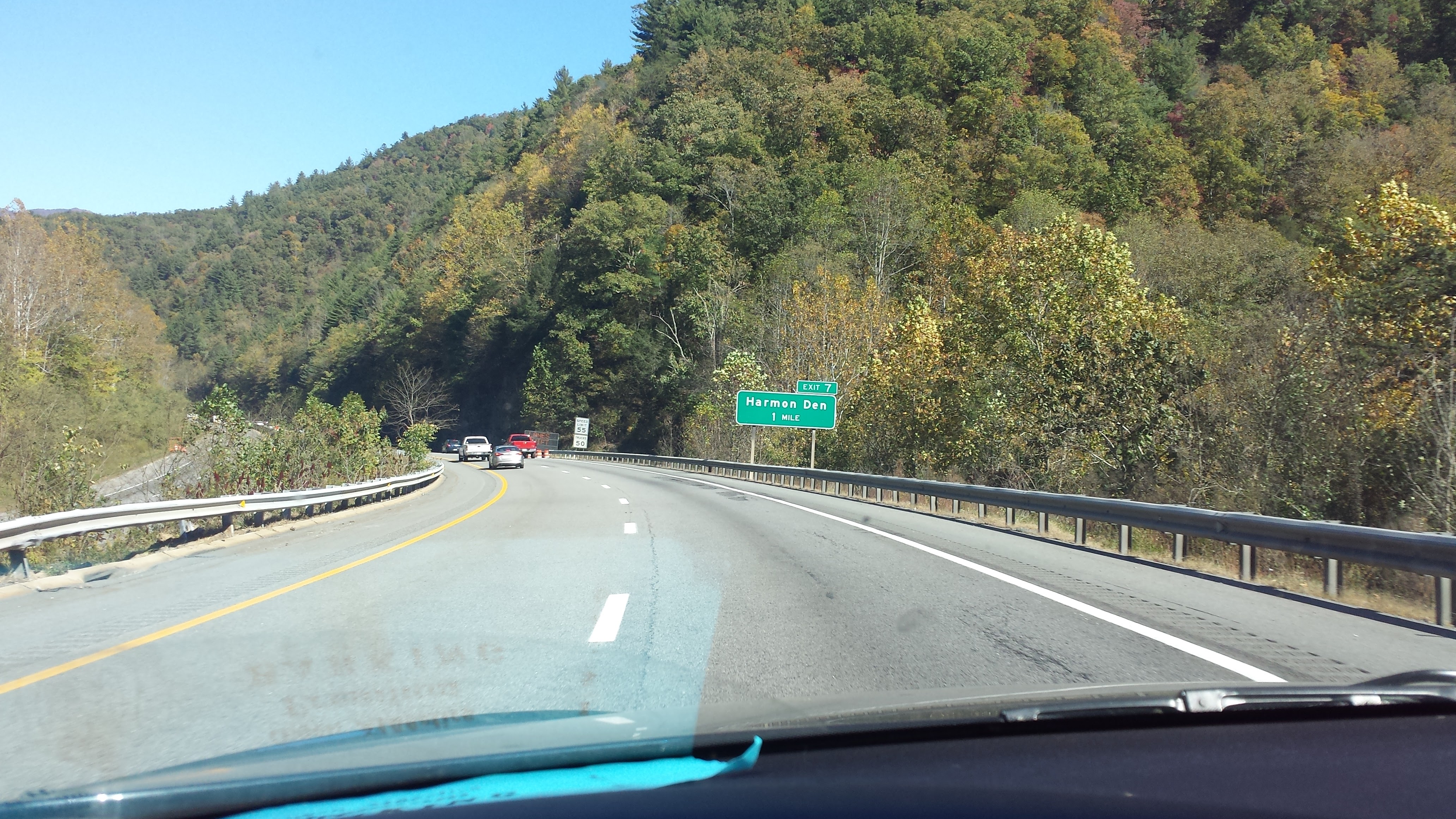 Take a right off the exit and the road become gravel/dirt. You’ll pass signs for the Pisgah National Forest, Harmon Den entrance and parking and camping opportunities. You’ll go approximately 6.2 up this slightly steep hill.
 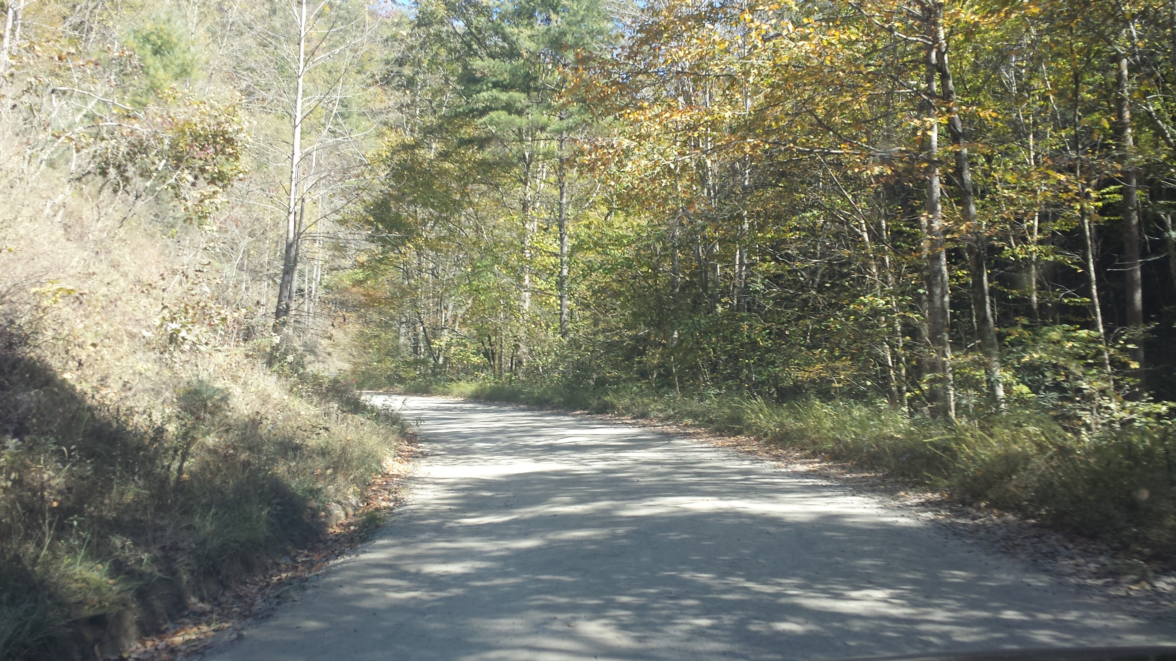 At this point, you really are only going 20 miles per hour max with traffic going both ways. You’ll hit a ‘T’ in the road, then take a left onto the state road 1182.
 You’ll continue up another 2 miles…ish until you reach the parking on the right. You’ll see the mountain knob to your right as well… you know you’re in the right place. 350acres of old rolling pasture land.

At this point, there may be cars parked on the side of the road or just in the parking area.
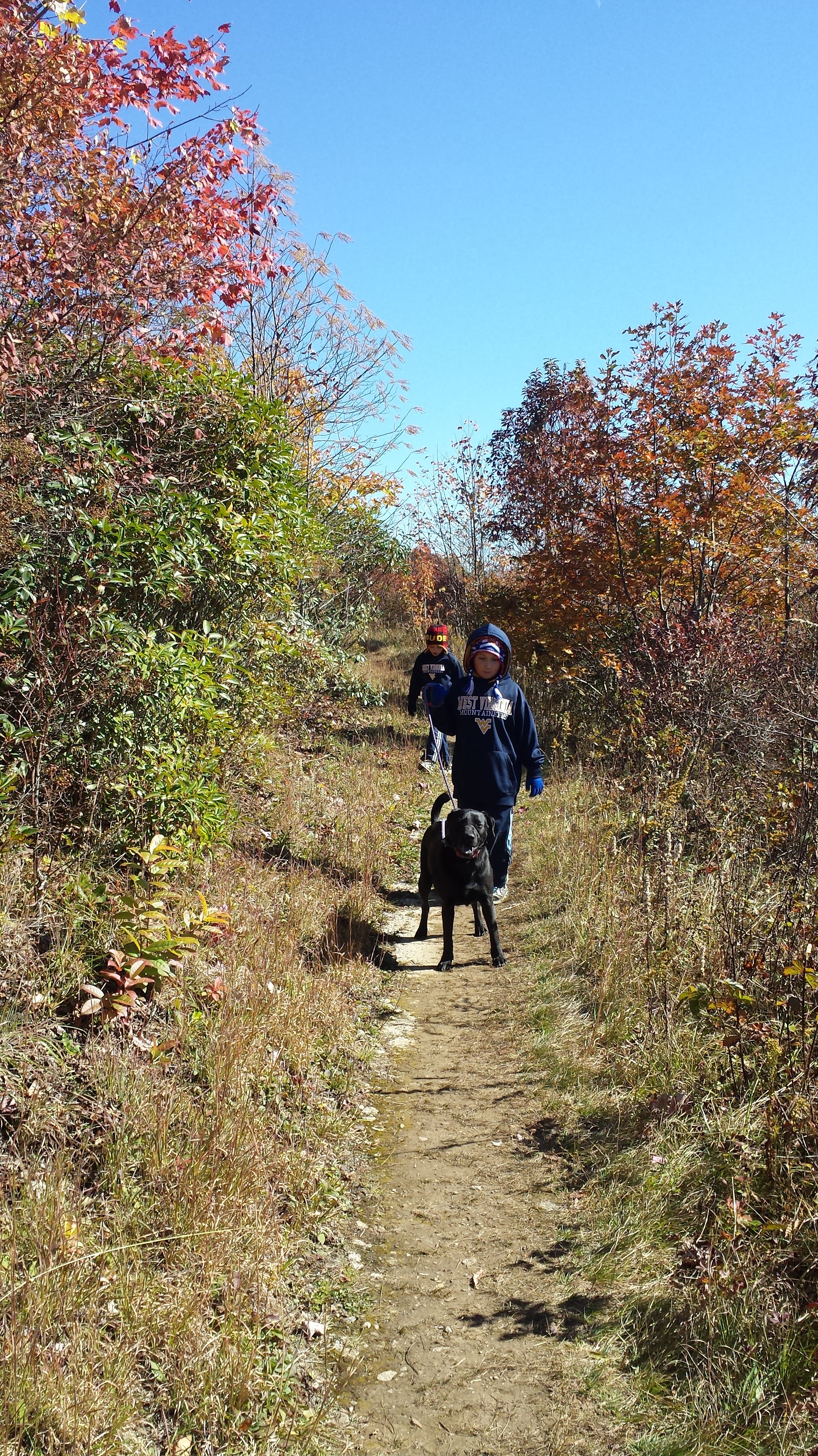
You’ll come to the big educational sign at the back of the parking lot… If you take the trail to your right or left, you’ll be going on the 2.4 mile loop trail that goes around the mountain. It’s a relatively easy trail and relatively flat, except the beginning on the left. There are also off-shute trails that will lead you to the summit from this trail as well.
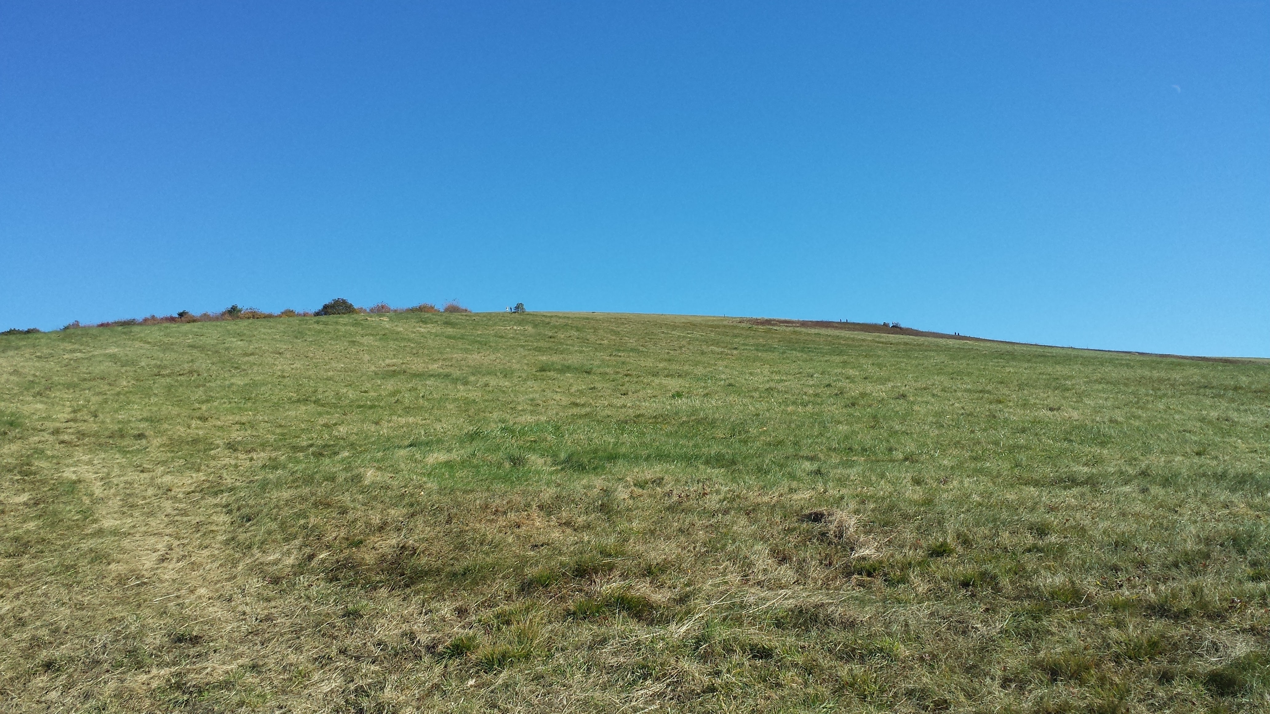
You may also choose to walk straight up the mountain to the summit (4,600 feet). Its steep, but short and just grassy trail terrain. Not bad at all.
Once you get to the top, you can find the highest part is a little to the left. I got a great panoramic view.

However if you step down off the top in each side, you’ll get a fantabulous view of the colors on each side of the mountain!

The Appalachian Trail (A.T.) crosses the Max Patch Summit as well. Continue on it for a longer hike.